MyTopo
Hanover NW Colorado US Topo Map
Couldn't load pickup availability
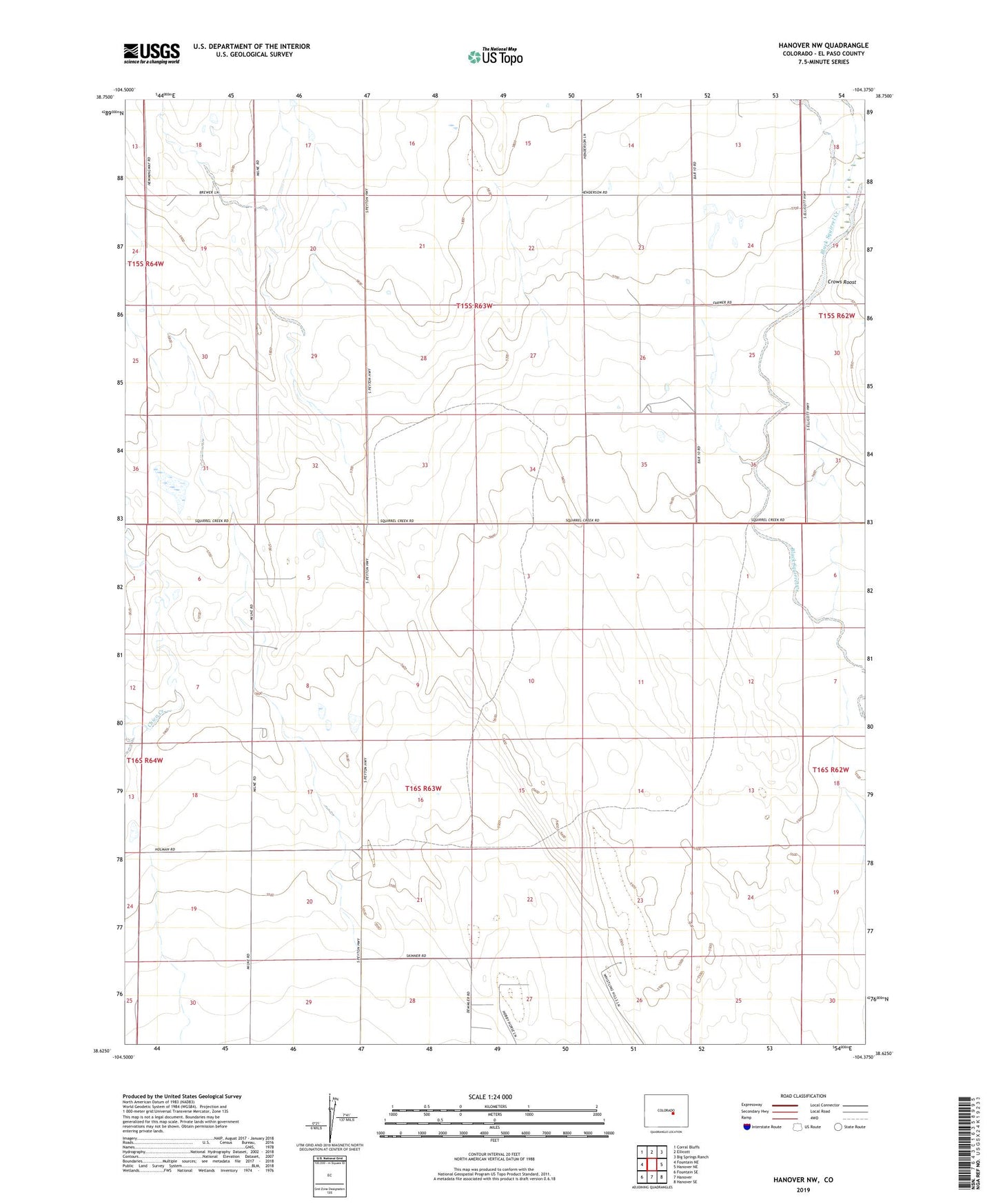
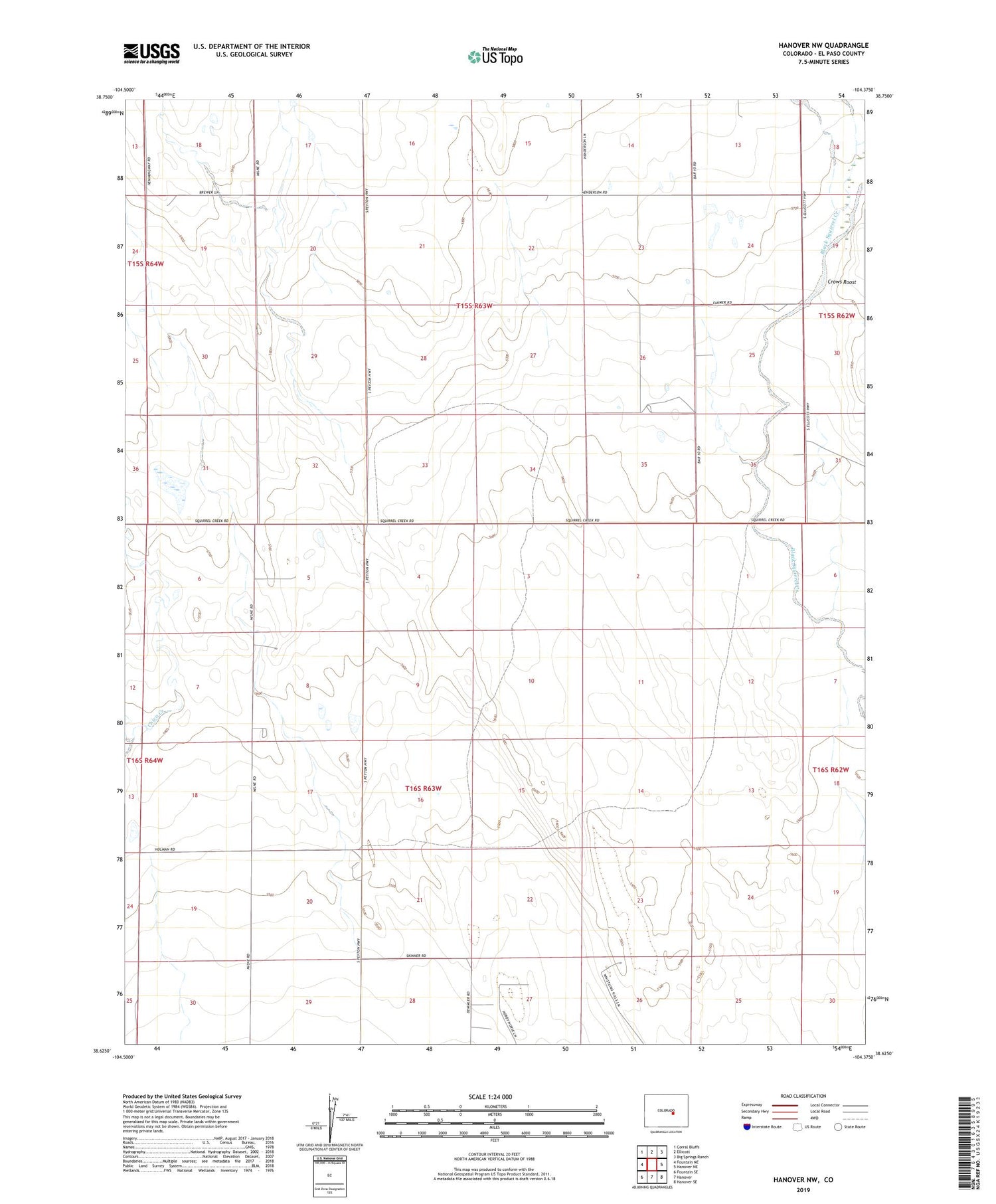
2022 topographic map quadrangle Hanover NW in the state of Colorado. Scale: 1:24000. Based on the newly updated USGS 7.5' US Topo map series, this map is in the following counties: El Paso. The map contains contour data, water features, and other items you are used to seeing on USGS maps, but also has updated roads and other features. This is the next generation of topographic maps. Printed on high-quality waterproof paper with UV fade-resistant inks.
Quads adjacent to this one:
West: Fountain NE
Northwest: Corral Bluffs
North: Ellicott
Northeast: Big Springs Ranch
East: Hanover NE
Southeast: Hanover SE
South: Hanover
Southwest: Fountain SE
This map covers the same area as the classic USGS quad with code o38104f4.
Contains the following named places: Crows Roost, Drennan Coal Mine, ZIP Code: 80928