MyTopo
Haxtun West Colorado US Topo Map
Couldn't load pickup availability
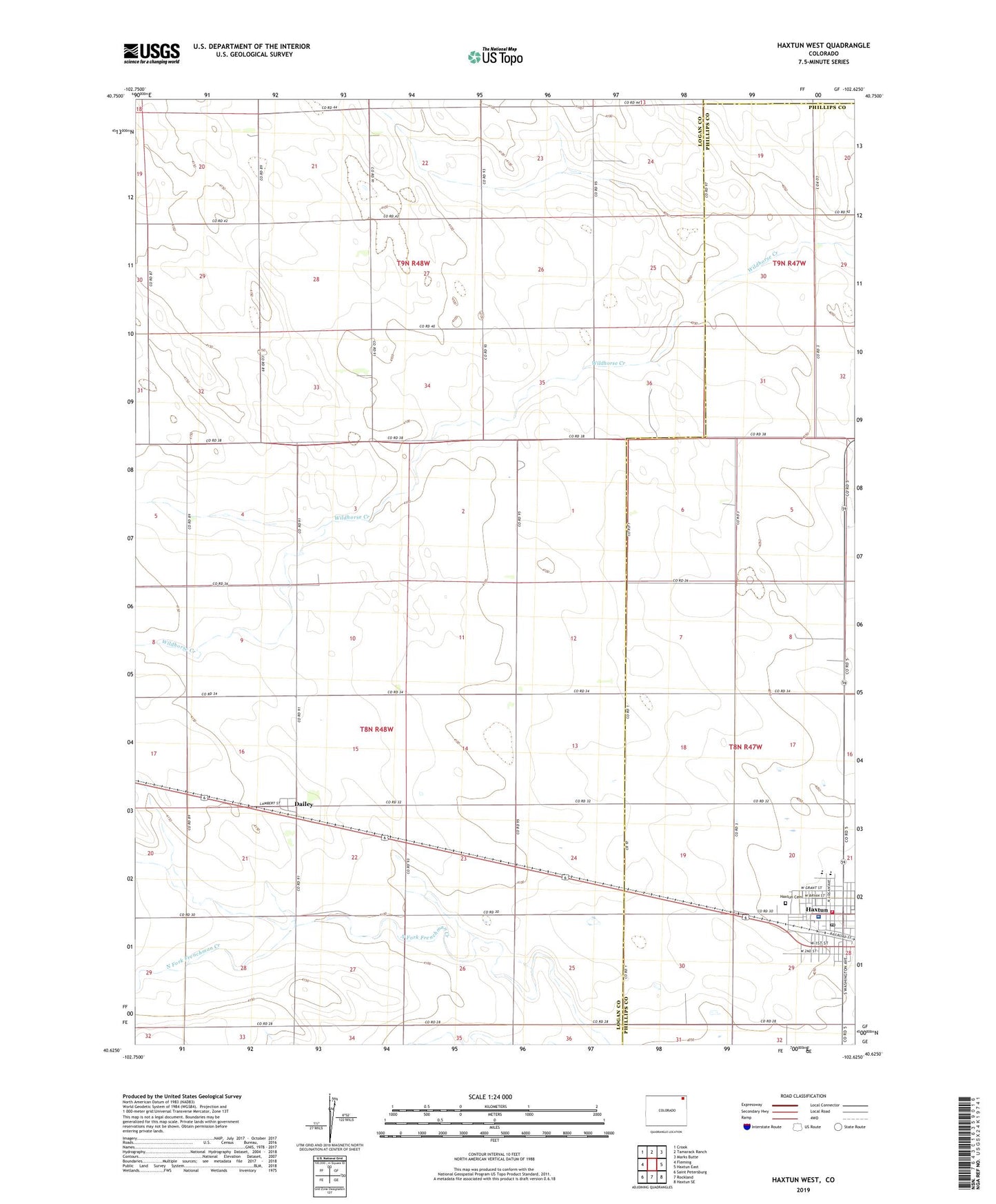
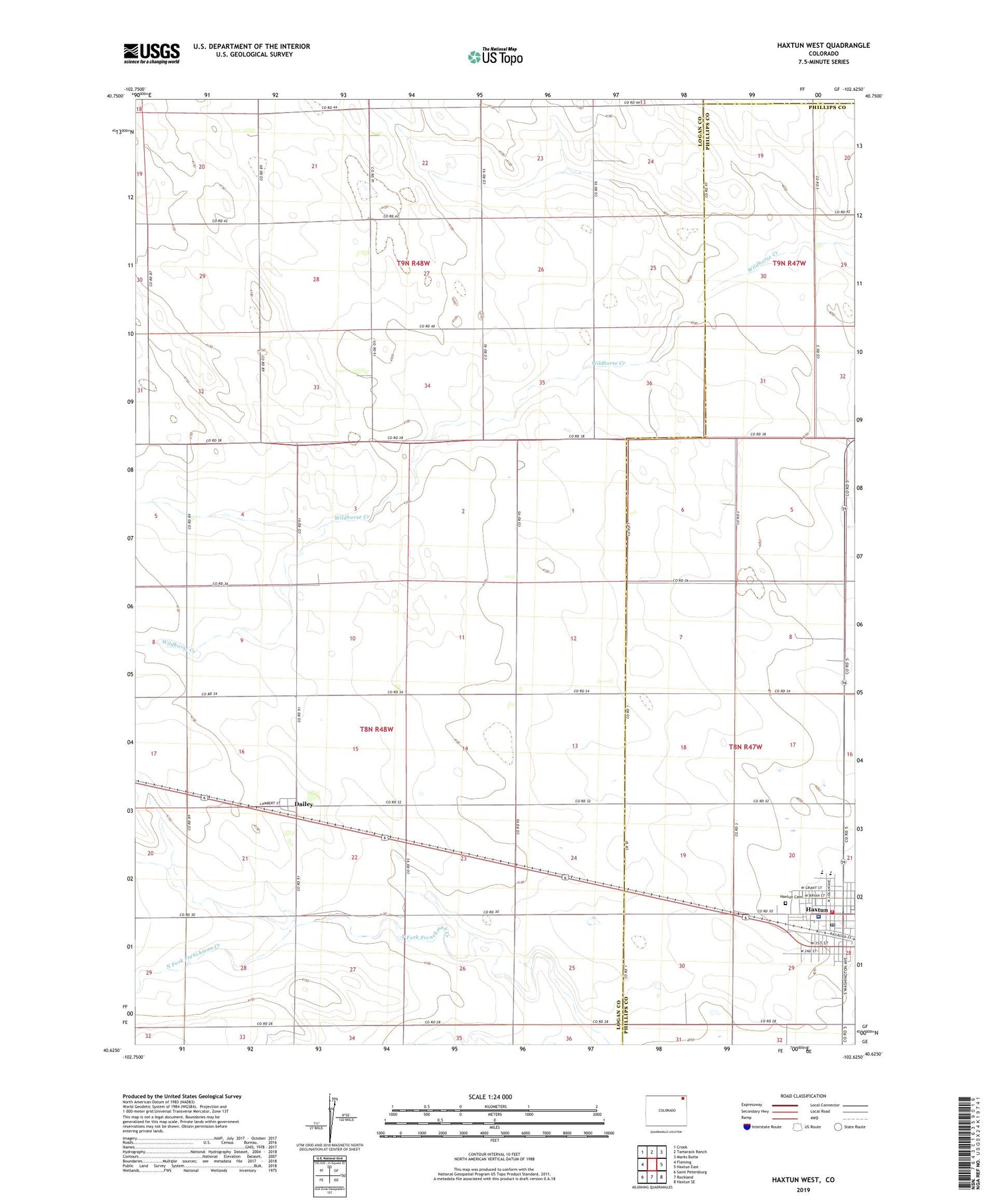
2022 topographic map quadrangle Haxtun West in the state of Colorado. Scale: 1:24000. Based on the newly updated USGS 7.5' US Topo map series, this map is in the following counties: Logan, Phillips, Sedgwick. The map contains contour data, water features, and other items you are used to seeing on USGS maps, but also has updated roads and other features. This is the next generation of topographic maps. Printed on high-quality waterproof paper with UV fade-resistant inks.
Quads adjacent to this one:
West: Fleming
Northwest: Crook
North: Tamarack Ranch
Northeast: Marks Butte
East: Haxtun East
Southeast: Haxtun SE
South: Rockland
Southwest: Saint Petersburg
This map covers the same area as the classic USGS quad with code o40102f6.
Contains the following named places: Bamford Feedyard, Dailey, Dailey Oil Field, Haxtun, Haxtun Ambulance Service, Haxtun Cemetery, Haxtun Fire Department, Haxtun Hospital, Haxtun Police Department, Haxtun Post Office, Town of Haxtun