MyTopo
Hoyt Colorado US Topo Map
Couldn't load pickup availability
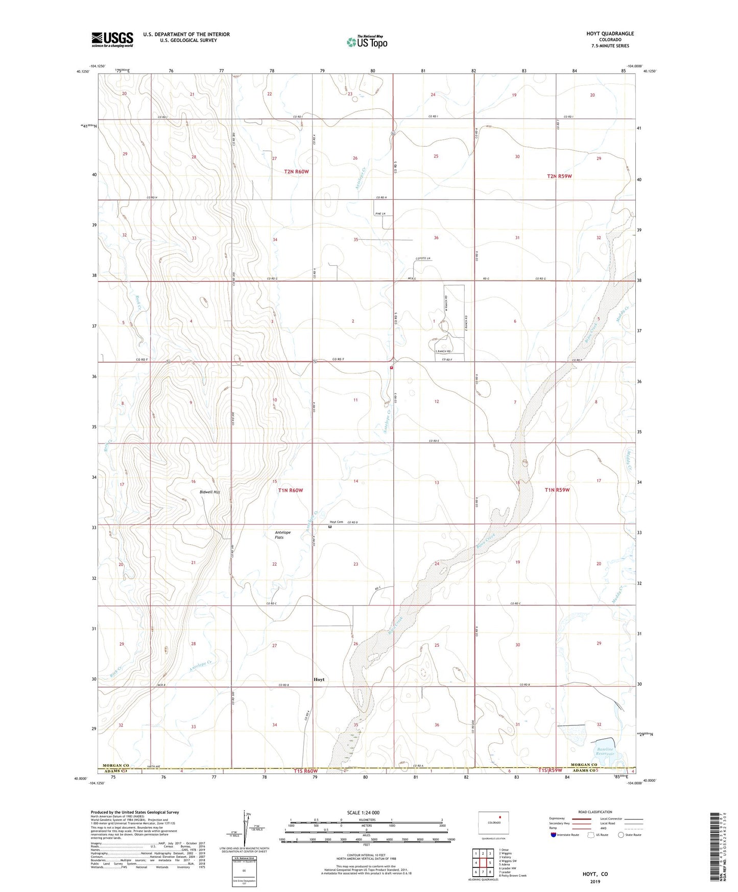
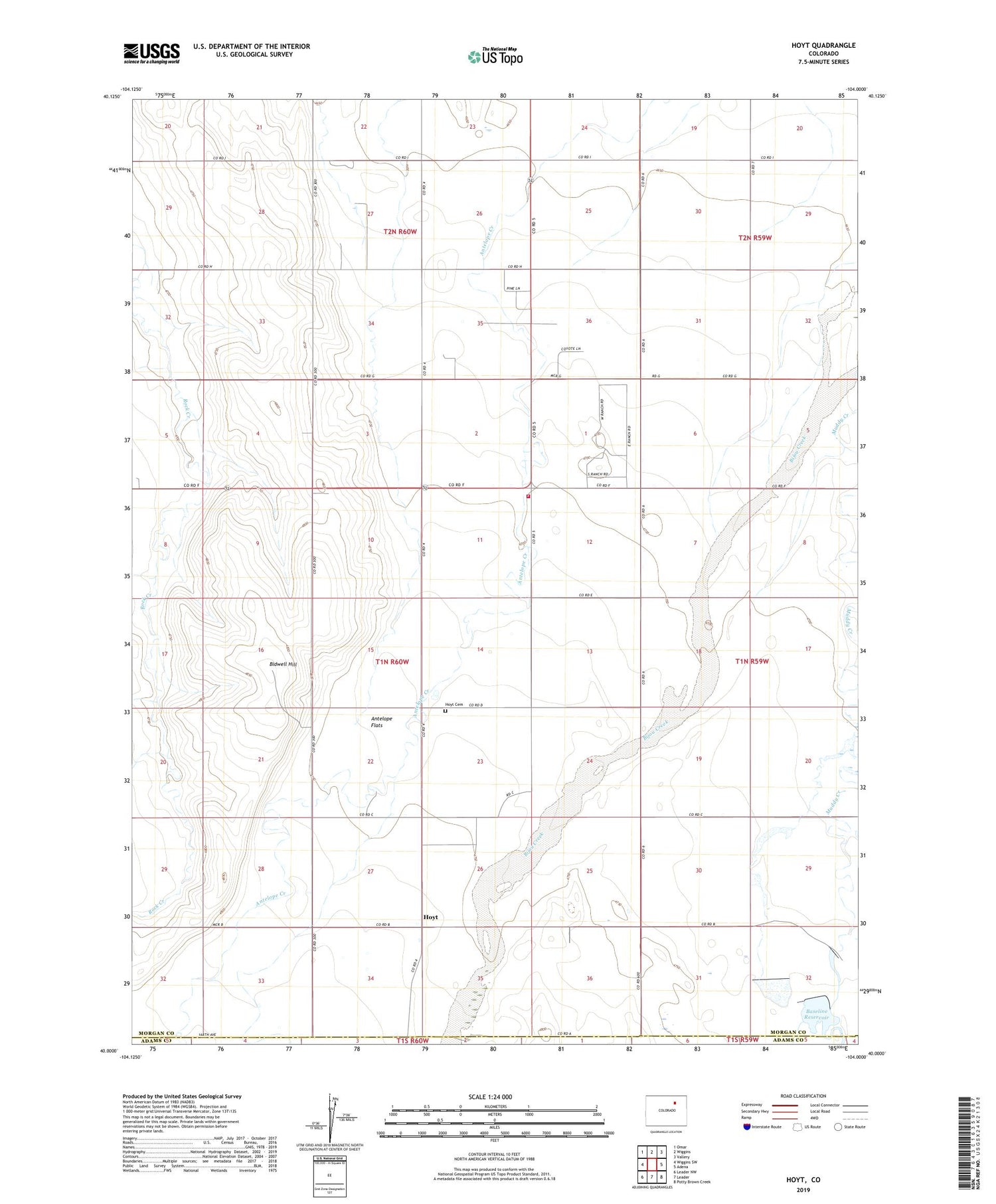
2022 topographic map quadrangle Hoyt in the state of Colorado. Scale: 1:24000. Based on the newly updated USGS 7.5' US Topo map series, this map is in the following counties: Morgan, Adams. The map contains contour data, water features, and other items you are used to seeing on USGS maps, but also has updated roads and other features. This is the next generation of topographic maps. Printed on high-quality waterproof paper with UV fade-resistant inks.
Quads adjacent to this one:
West: Wiggins SW
Northwest: Omar
North: Wiggins
Northeast: Vallery
East: Adena
Southeast: Potty Brown Creek
South: Leader
Southwest: Leader NW
This map covers the same area as the classic USGS quad with code o40104a1.
Contains the following named places: Baseline Dam, Baseline Reservoir, Bidwell Hill, Hoyt, Hoyt Cemetery, Little Antelope Creek, Long Meadow Community Center, Moore Reservoir Number 4, Wiggins Fire Protection District Hoyt Station