MyTopo
Karval Colorado US Topo Map
Couldn't load pickup availability
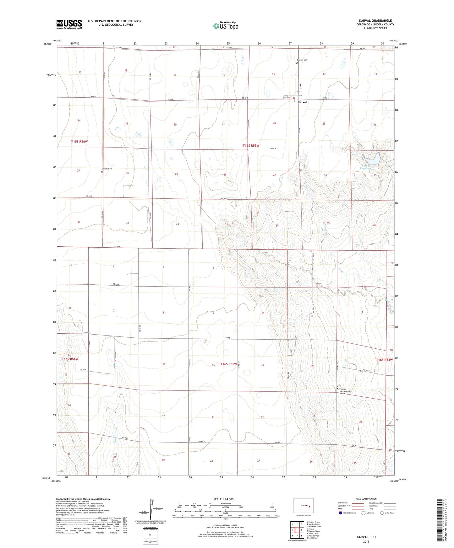
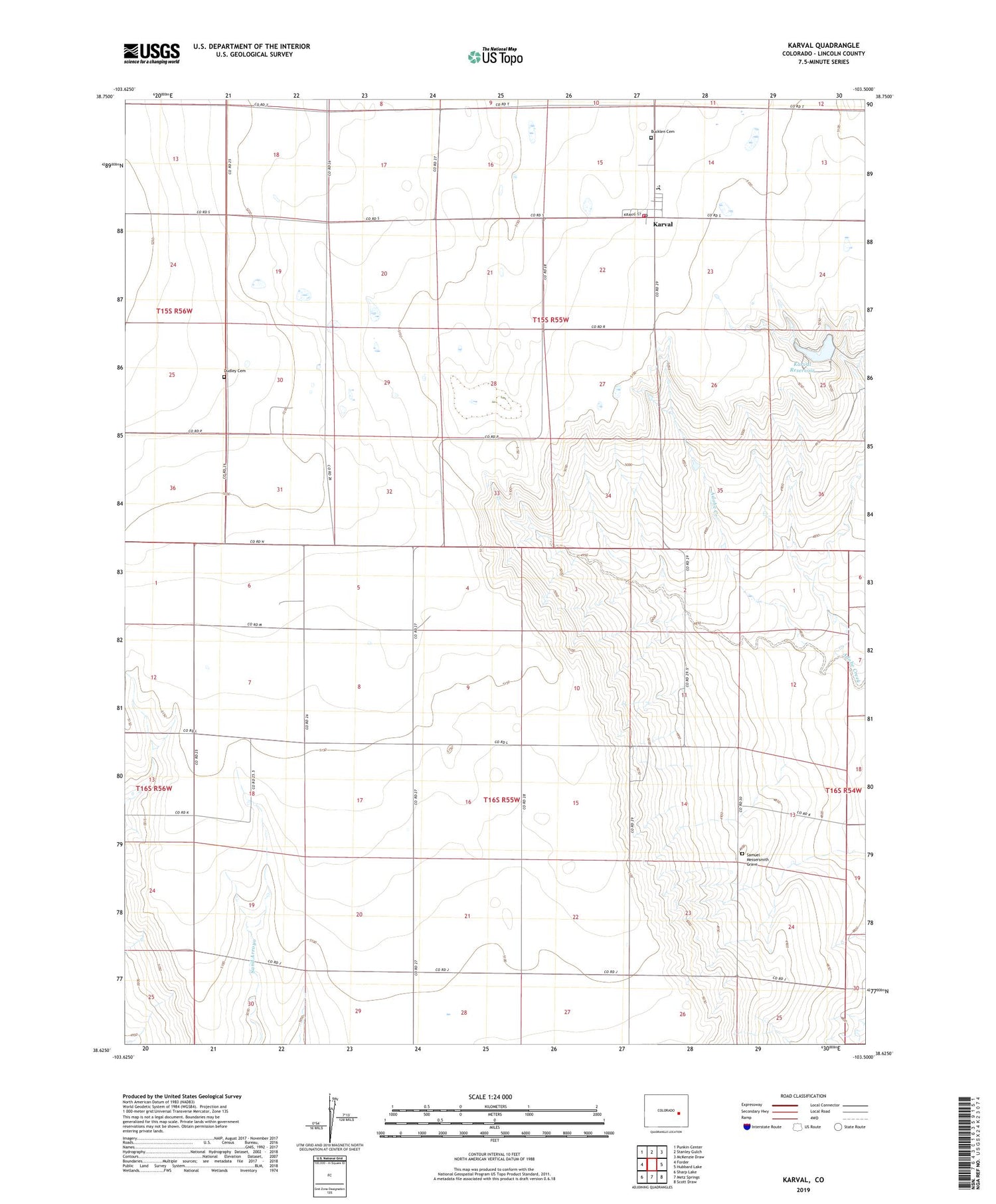
2022 topographic map quadrangle Karval in the state of Colorado. Scale: 1:24000. Based on the newly updated USGS 7.5' US Topo map series, this map is in the following counties: Lincoln. The map contains contour data, water features, and other items you are used to seeing on USGS maps, but also has updated roads and other features. This is the next generation of topographic maps. Printed on high-quality waterproof paper with UV fade-resistant inks.
Quads adjacent to this one:
West: Forder
Northwest: Punkin Center
North: Stanley Gulch
Northeast: McKenzie Draw
East: Hubbard Lake
Southeast: Scott Draw
South: Metz Springs
Southwest: Sharp Lake
This map covers the same area as the classic USGS quad with code o38103f5.
Contains the following named places: Blue Cliff Church, Bucklen Cemetery, Dudley Cemetery, Karval, Karval Community Volunteer Fire Department, Karval Dam, Karval Division, Karval Lake, Karval Post Office, Kaval Lake State Recreation Area, Samuel Messersmith Grave