MyTopo
Medano Ranch Colorado US Topo Map
Couldn't load pickup availability
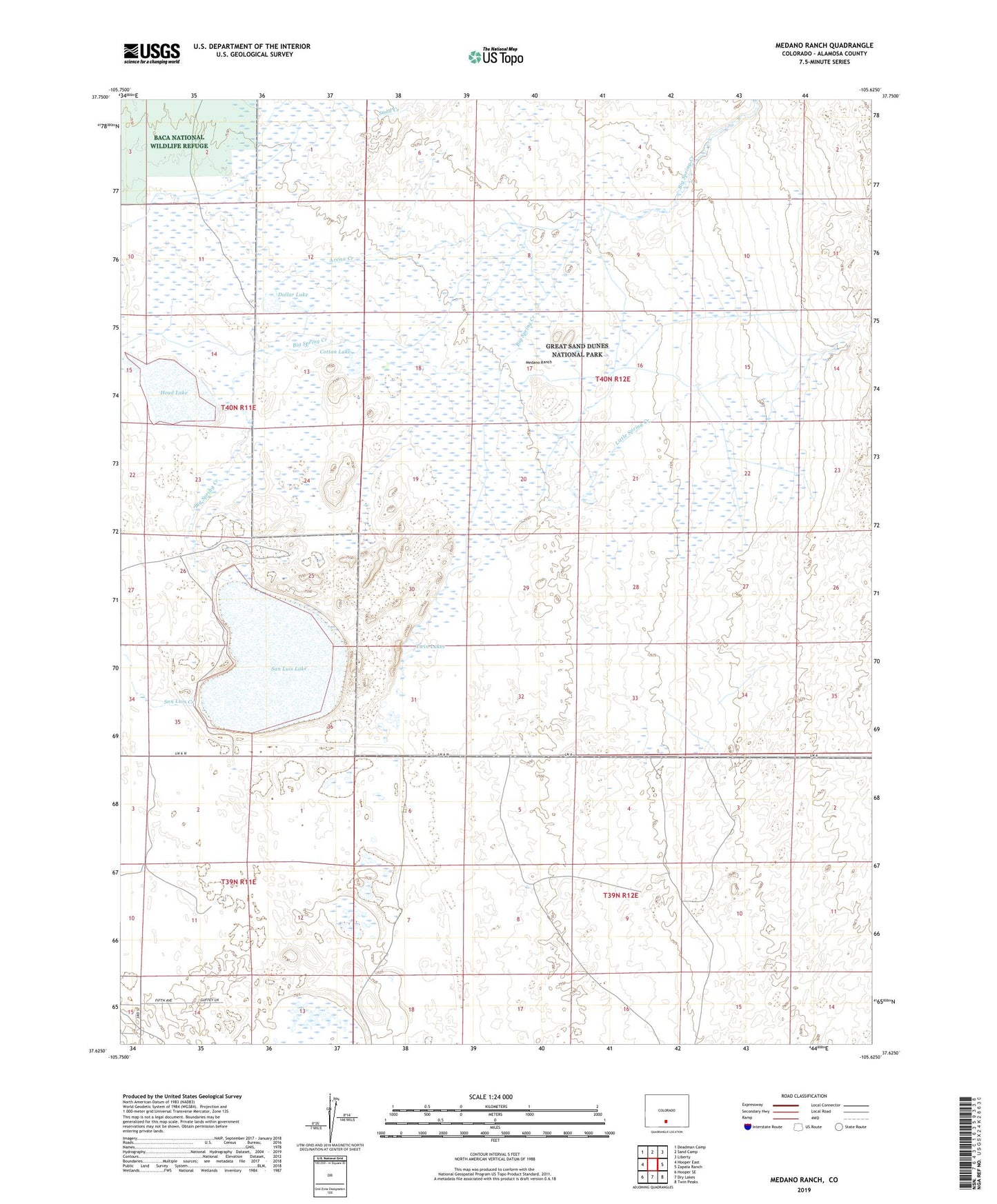
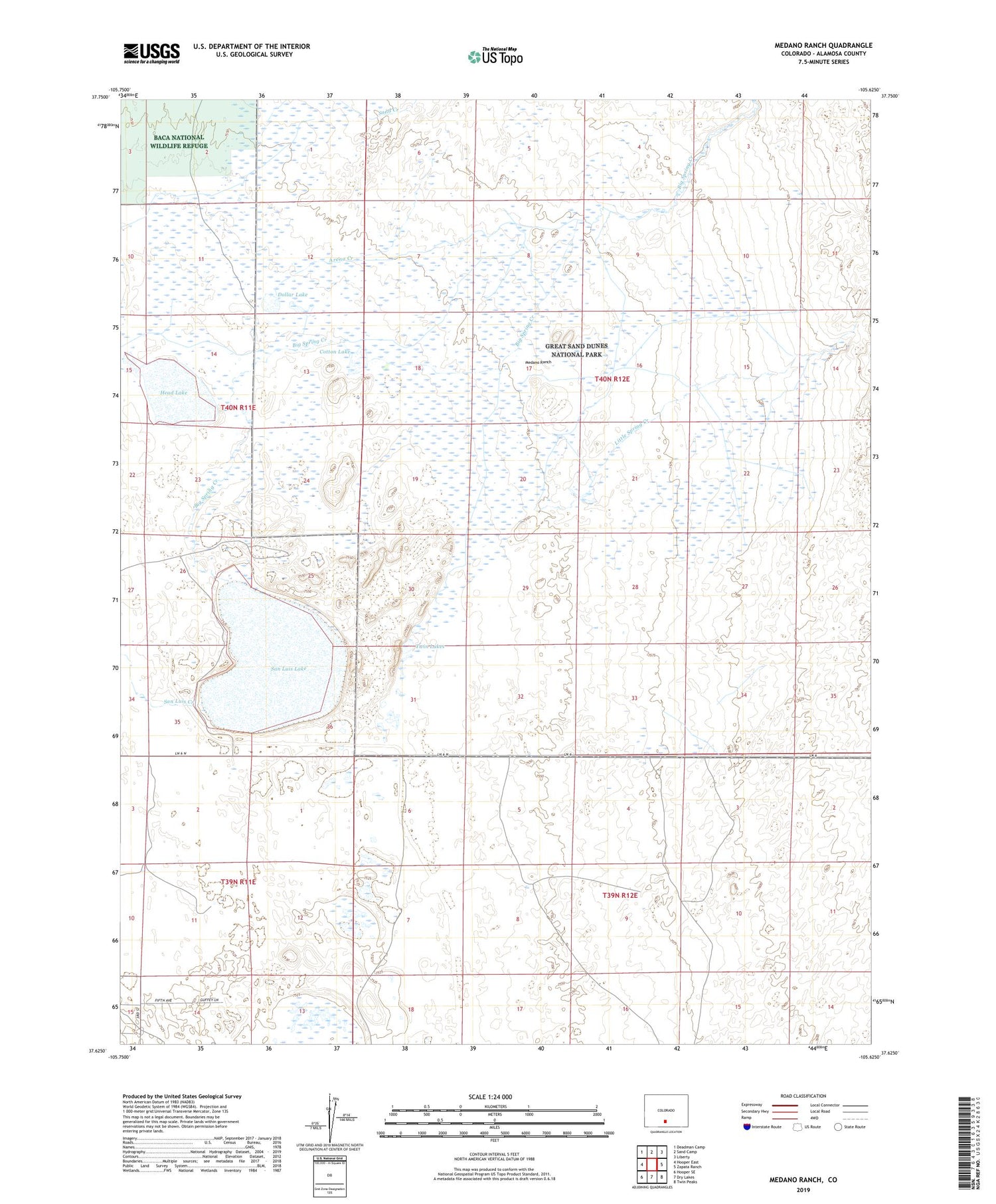
2022 topographic map quadrangle Medano Ranch in the state of Colorado. Scale: 1:24000. Based on the newly updated USGS 7.5' US Topo map series, this map is in the following counties: Alamosa. The map contains contour data, water features, and other items you are used to seeing on USGS maps, but also has updated roads and other features. This is the next generation of topographic maps. Printed on high-quality waterproof paper with UV fade-resistant inks.
Quads adjacent to this one:
West: Hooper East
Northwest: Deadman Camp
North: Sand Camp
Northeast: Liberty
East: Zapata Ranch
Southeast: Twin Peaks
South: Dry Lakes
Southwest: Hooper SE
This map covers the same area as the classic USGS quad with code o37105f6.
Contains the following named places: Arena Creek, Big Spring Creek, Cotton Lake, Dollar Lake, Franklin Eddy Canal, Head Lake, King Well, Little Spring Creek, Medano Ranch, San Luis Creek, San Luis Lake, Sand Creek, Twin Lakes