MyTopo
Otis Colorado US Topo Map
Couldn't load pickup availability
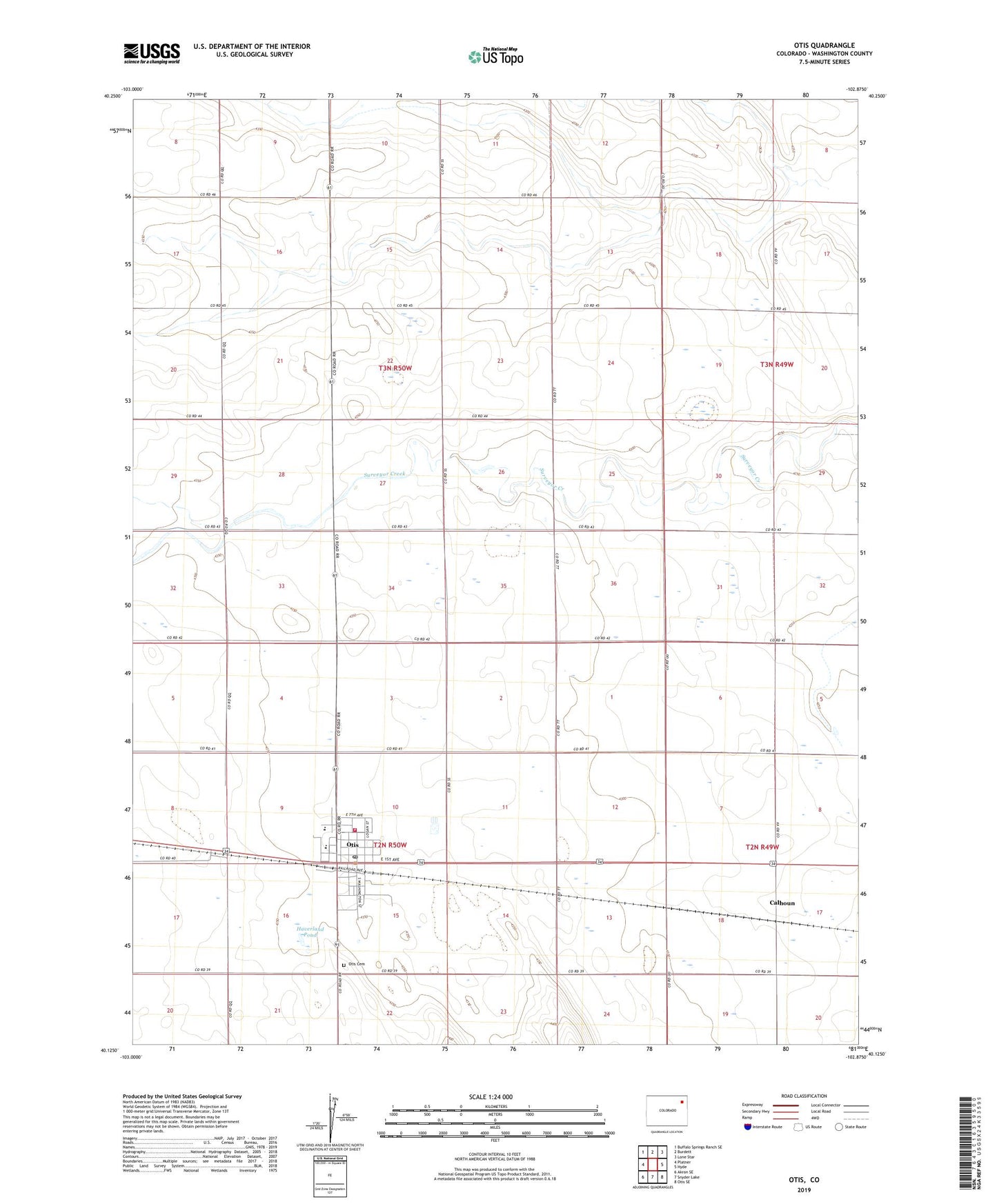
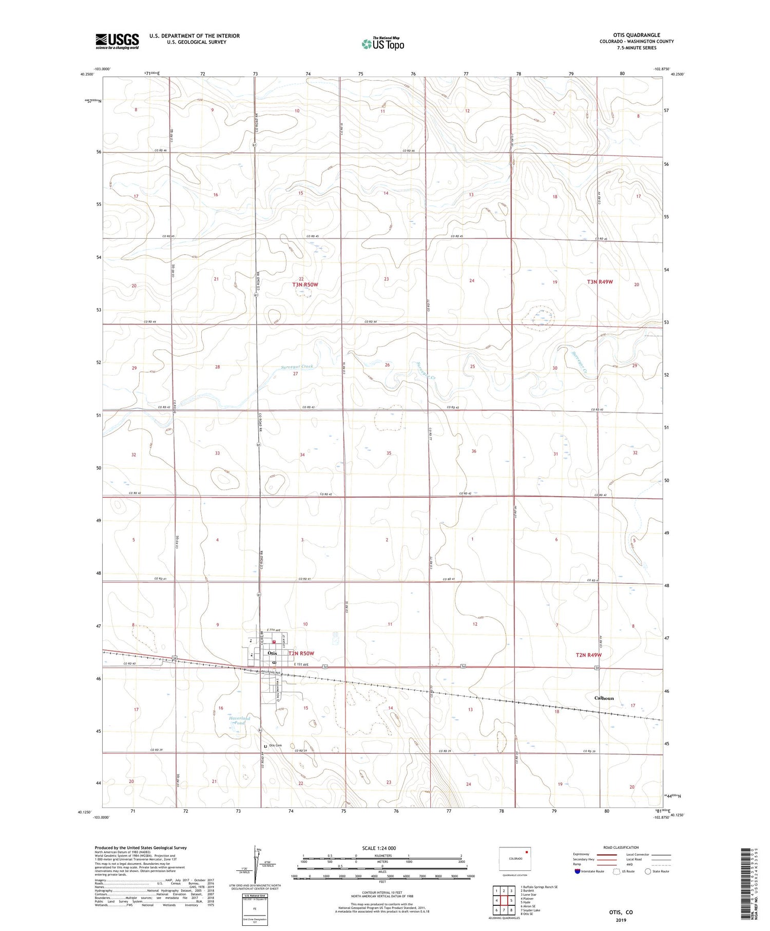
2022 topographic map quadrangle Otis in the state of Colorado. Scale: 1:24000. Based on the newly updated USGS 7.5' US Topo map series, this map is in the following counties: Washington. The map contains contour data, water features, and other items you are used to seeing on USGS maps, but also has updated roads and other features. This is the next generation of topographic maps. Printed on high-quality waterproof paper with UV fade-resistant inks.
Quads adjacent to this one:
West: Platner
Northwest: Buffalo Springs Ranch SE
North: Burdett
Northeast: Lone Star
East: Hyde
Southeast: Otis SE
South: Snyder Lake
Southwest: Akron SE
This map covers the same area as the classic USGS quad with code o40102b8.
Contains the following named places: Calhoun, Haverland Pond, Otis, Otis Airport, Otis Cemetery, Otis Division, Otis Fire Department, Otis Post Office, Stansfield Airport, Town of Otis, ZIP Code: 80743