MyTopo
Two Buttes Colorado US Topo Map
Couldn't load pickup availability
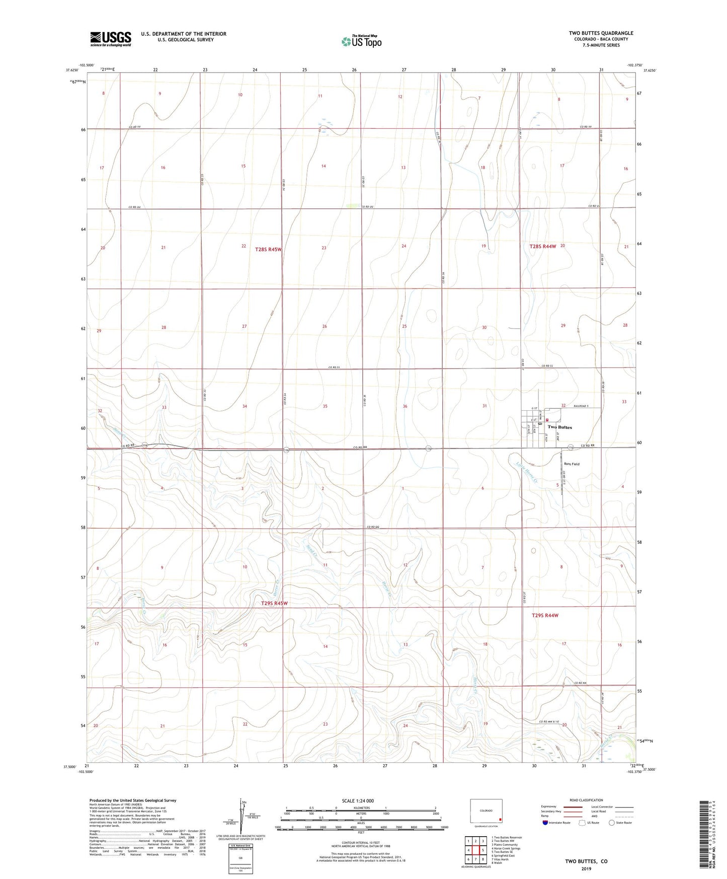
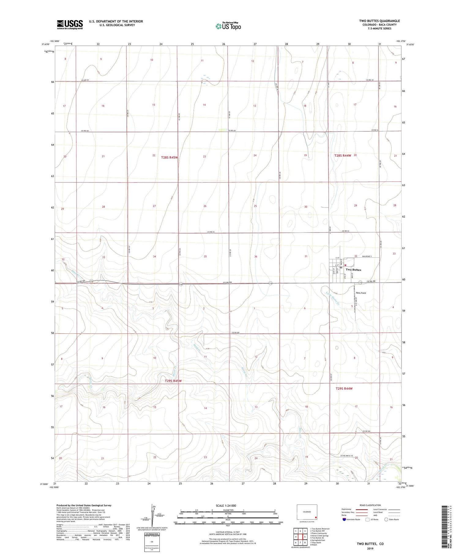
2022 topographic map quadrangle Two Buttes in the state of Colorado. Scale: 1:24000. Based on the newly updated USGS 7.5' US Topo map series, this map is in the following counties: Baca. The map contains contour data, water features, and other items you are used to seeing on USGS maps, but also has updated roads and other features. This is the next generation of topographic maps. Printed on high-quality waterproof paper with UV fade-resistant inks.
Quads adjacent to this one:
West: Horse Creek Springs
Northwest: Two Buttes Reservoir
North: Two Buttes NW
Northeast: Plains Community
East: Two Buttes SE
Southeast: Walsh
South: Vilas North
Southwest: Springfield East
This map covers the same area as the classic USGS quad with code o37102e4.
Contains the following named places: Rons Field, Sand Creek, Town of Two Buttes, Two Buttes, Two Buttes Fire Station, Two Buttes Post Office, ZIP Code: 81084