MyTopo
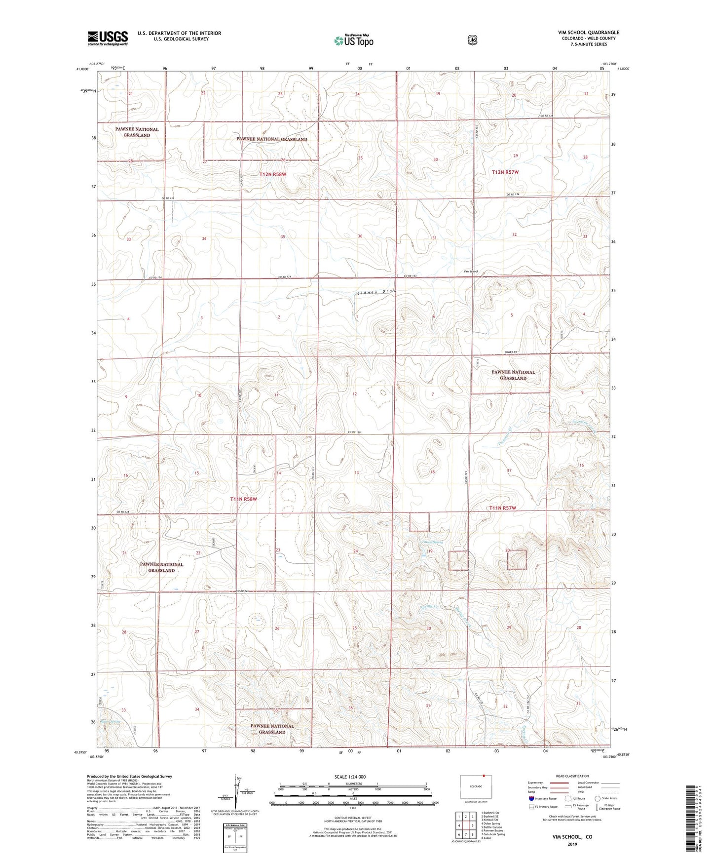
Vim School Colorado US Topo Map
Couldn't load pickup availability
Also explore the Vim School Forest Service Topo of this same quad for updated USFS data
2022 topographic map quadrangle Vim School in the state of Colorado. Scale: 1:24000. Based on the newly updated USGS 7.5' US Topo map series, this map is in the following counties: Weld. The map contains contour data, water features, and other items you are used to seeing on USGS maps, but also has updated roads and other features. This is the next generation of topographic maps. Printed on high-quality waterproof paper with UV fade-resistant inks.
Quads adjacent to this one:
West: Dolan Spring
Northwest: Bushnell SW
North: Bushnell SE
Northeast: Kimball SW
East: Battle Canyon
Southeast: Avalo
South: Gatehook Spring
Southwest: Pawnee Buttes
This map covers the same area as the classic USGS quad with code o40103h7.
Contains the following named places: Bourlier Windmill, Gull Windmill, Kindvall Windmill, Patton Spring, Patton Spring Reservoir, Patton Spring Reservoir Dam, Razor Spring, Rockaway School, Vail Water Well, Vim School, Vim Windmill, Youngland Windmill