MyTopo
Winter Flats Colorado US Topo Map
Couldn't load pickup availability
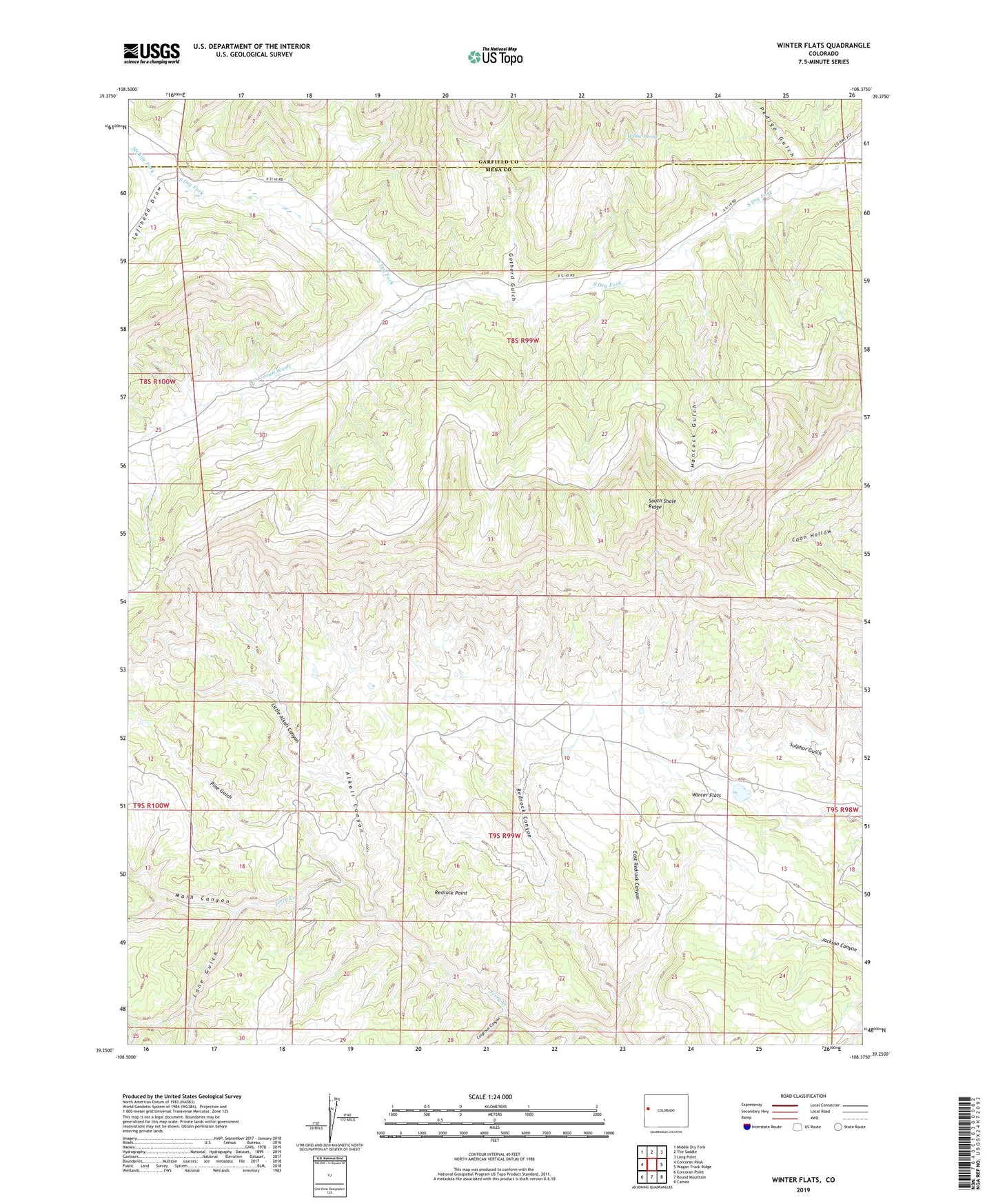
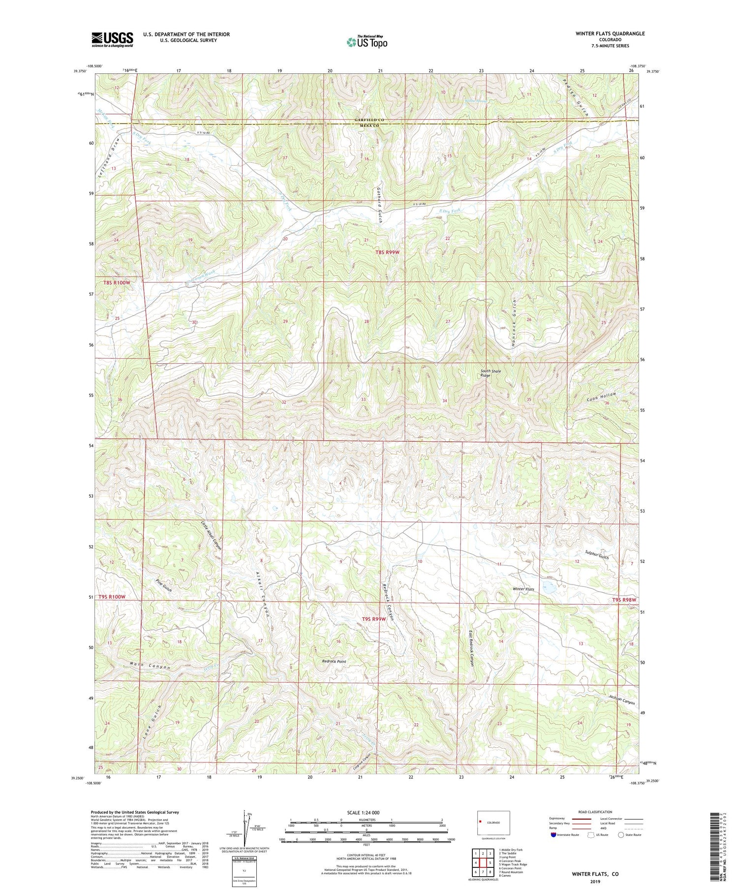
2022 topographic map quadrangle Winter Flats in the state of Colorado. Scale: 1:24000. Based on the newly updated USGS 7.5' US Topo map series, this map is in the following counties: Mesa, Garfield. The map contains contour data, water features, and other items you are used to seeing on USGS maps, but also has updated roads and other features. This is the next generation of topographic maps. Printed on high-quality waterproof paper with UV fade-resistant inks.
Quads adjacent to this one:
West: Corcoran Peak
Northwest: Middle Dry Fork
North: The Saddle
Northeast: Long Point
East: Wagon Track Ridge
Southeast: Cameo
South: Round Mountain
Southwest: Corcoran Point
This map covers the same area as the classic USGS quad with code o39108c4.
Contains the following named places: Alkali Canyon, Corcoran Wash, Cosgrove Canyon, Deer Retention Dam, East Redrock Canyon, Gothard Gulch, Hancock Gulch, Lane Gulch, Lefthand Draw, Little Alkali Canyon, McKay Fork, Pedigo Gulch, Pine Gulch, Redrock Canyon, Redrock Point, Soap Retention Dam, South Shale Ridge, Willow Spring, Winter Flats