MyTopo
Astatula Florida US Topo Map
Couldn't load pickup availability
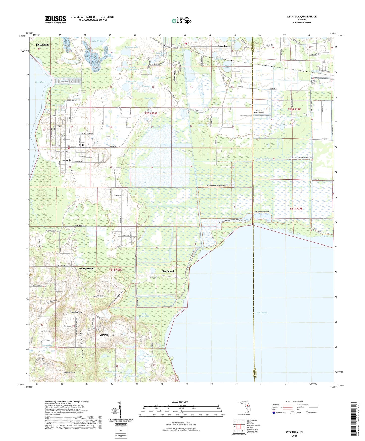
2024 topographic map quadrangle Astatula in the state of Florida. Scale: 1:24000. Based on the newly updated USGS 7.5' US Topo map series, this map is in the following counties: Lake, Orange. The map contains contour data, water features, and other items you are used to seeing on USGS maps, but also has updated roads and other features. This is the next generation of topographic maps. Printed on high-quality waterproof paper with UV fade-resistant inks.
Quads adjacent to this one:
West: Howey-in-the-Hills
Northwest: Leesburg East
North: Eustis
Northeast: Sorrento
East: Apopka
Southeast: Winter Garden
South: Clermont East
Southwest: Clermont West
This map covers the same area as the classic USGS quad with code o28081f6.
Contains the following named places: Apopka Beauclair Canal, Astatula, Astatula Baptist Church, Astatula Cemetery, Astatula Elementary School, Astatula Police Department, Astatula Post Office, Astatula Town Hall, Astatula Volunteer Fire Department Station 77, Bear Spring, Birdseye Lake, Bob White Field, Church of the Annunciation, Clay Island, Clay Island Airstrip, Dague Lake, First Presbyterian Church of Apopka, Gizzard Lake, Grandview Lake, Henderson Field, Hide - a - Way Harbor Mobile Home Park, Howey Height, King Lake, Lake Apopka Lock and Dam, Lake Bell, Lake County Fire Rescue Station 78, Lake Jem, Lake Jem Park & Boat Ramp, Lake Lena, Lake Merritt, Lake Wales Ridge, Long and Scott Farms Airport, McDonald Canal, Meeks Lake, Orlando North Airpark, Pretty Lake, Saddle Bag Lake, Sugarloaf Mountain, Summerall Lake, Tavares Division, Town of Astatula, Wolfs Head Lake, Zellwin Farms Airport, ZIP Codes: 34705, 34715


