MyTopo
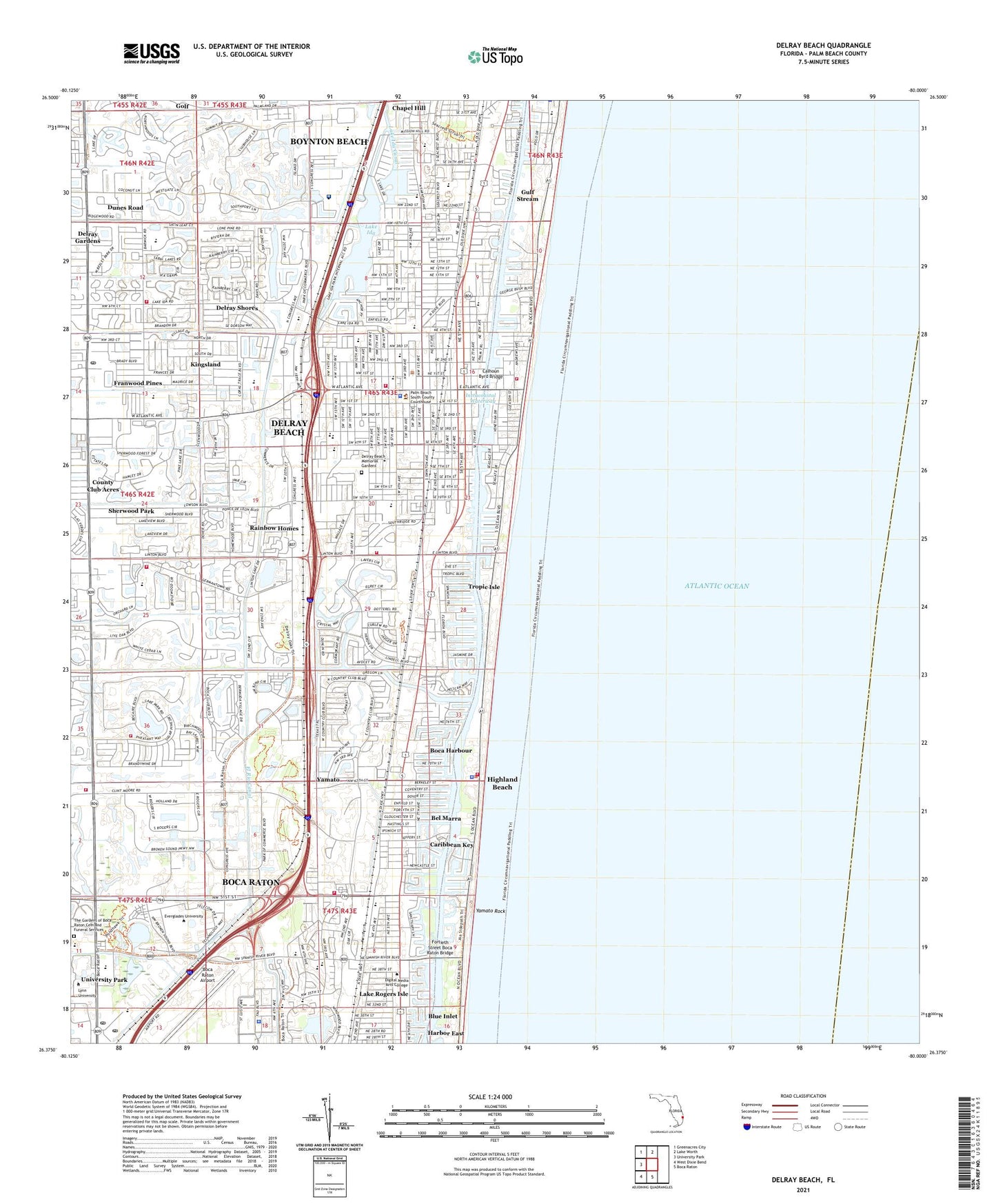
Delray Beach Florida US Topo Map
Couldn't load pickup availability
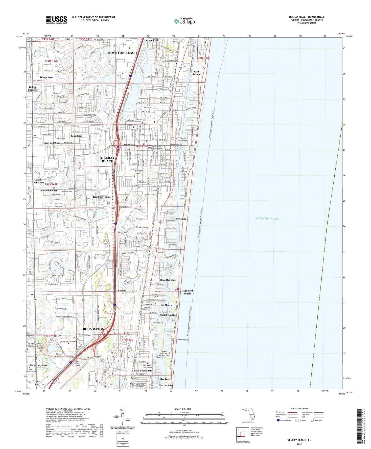
2024 topographic map quadrangle Delray Beach in the state of Florida. Scale: 1:24000. Based on the newly updated USGS 7.5' US Topo map series, this map is in the following counties: Palm Beach. The map contains contour data, water features, and other items you are used to seeing on USGS maps, but also has updated roads and other features. This is the next generation of topographic maps. Printed on high-quality waterproof paper with UV fade-resistant inks.
Quads adjacent to this one:
West: University Park
Northwest: Greenacres City
North: Lake Worth
South: Boca Raton
Southwest: West Dixie Bend
This map covers the same area as the classic USGS quad with code o26080d1.
Contains the following named places: 20th Street Shopping Center, 33444, 33445, 33483, 33487, Anchor Park, Atlantic High School, Banyan Creek Elementary School, Bears Paw Country Club, Bel Marra, Blue Inlet, Boca Harbour, Boca Raton Airport, Boca Raton Division, Boca Raton Fire and Rescue Station 4, Boca Raton Fire and Rescue Station 6, Boca Raton Post Office, Boca Raton Shopping Center, Boca Teeca Country Club, Boca Woods Country Club, Calhoun Byrd Bridge, Caribbean Key, Carver Community Middle School, Carver High School, Chabad Lubavitch Community Center, Chapel Hill, Christopher Center, Church of the Palms, City of Delray Beach, Colony Shoppes, Contract Postal Unit Downtown Delray, Corebridge Educational Academy, Country Club of Orlando, Country Club of Sebring Golf Club, Country Club of Silver Springs Shores, Crane Lakes Golf Course, Crystal Lake Club, Cypress Creek Country Club, Delray Beach, Delray Beach Amtrak Station, Delray Beach Country Club, Delray Beach Elementary School, Delray Beach Fire Rescue Department Station 2, Delray Beach Fire Rescue Department Station 3, Delray Beach Fire Rescue Department Station 4, Delray Beach Fire Rescue Station 1, Delray Beach Fire Rescue Station 5, Delray Beach Fire Rescue Station 6, Delray Beach Memorial Gardens, Delray Beach Police Department, Delray Beach Post Office, Delray Beach Public Library, Delray Community Hospital, Delray Gardens, Delray Mall, Delray Shores, Delray Square, Delray Youth Vocational Charter School, Don Estridge High Tech Middle School, Duncan Conference Center, Dunes Road, Dunes Road Census Designated Place, El Rio Canal, Fair Oaks Hospital at Boca/Delray, Fair Oaks Pavillion at Delray Medical Center, Florida Atlantic University Boca Raton Campus Campus Operations Building, Florida Atlantic University Police Department Boca Raton Campus, Fortieth Street Boca Raton Bridge, Franwood Pines, Golden Ocala Golf Course, Golf, Golf Club at North Hampton, Good Schools Leadership Academy, Gulf Stream, Harbor Centre, Harbor East, Hardrives Delta Number Three Helistop, Hidden Lake Park, Hidden Valley Country Club, Highland Beach, Highland Beach Police Department, Highland Beach Post Office, Highland Park Trailer Park, Josephs School, Kingsland, Lake Ida, Lake Rogers, Lake Rogers Isle, Linton Center, Little League Ball Field, Lynn University, Marketplace of Delray Shopping Center, Odyssey Middle School, Old Harbor Plaza, Orchard View Community Elementary School, Oriole Village Plaza, Our Lady of Mercy Church, Palm Beach Community College at Boca Raton Administration Building, Palm Beach Community College at Boca Raton Classroom Building A, Palm Beach Community College at Boca Raton Classroom Building B, Palm Beach County Fire Rescue Station 52, Palm Beach County Public Library - Del-Trail Branch, Pine Grove Elementary School, Plaza Del Ray, Plumosa School of the Arts, Police Community Services, Potentials South, Rainbow Homes, S D Spady Elementary School, Sand Pine Park, Seacrest High School, Sherwood Park, Sherwood Park Golf Course, Shoppes of Congress Square, South Technical Adult Education Center, South Technical Education Center, Spanish Academy Charter School, Spanish River Park, Town of Gulf Stream, Town of Highland Beach, Tropic Isle, Tropic Isle Harbor, Villa Rica Railroad Station, WDBF-AM (Delray Beach), Wiley Commerce Plaza, Winfield Shopping Center, Woodland Post Office, Yamato, Yamato Rock


