MyTopo
Riomar Florida US Topo Map
Couldn't load pickup availability
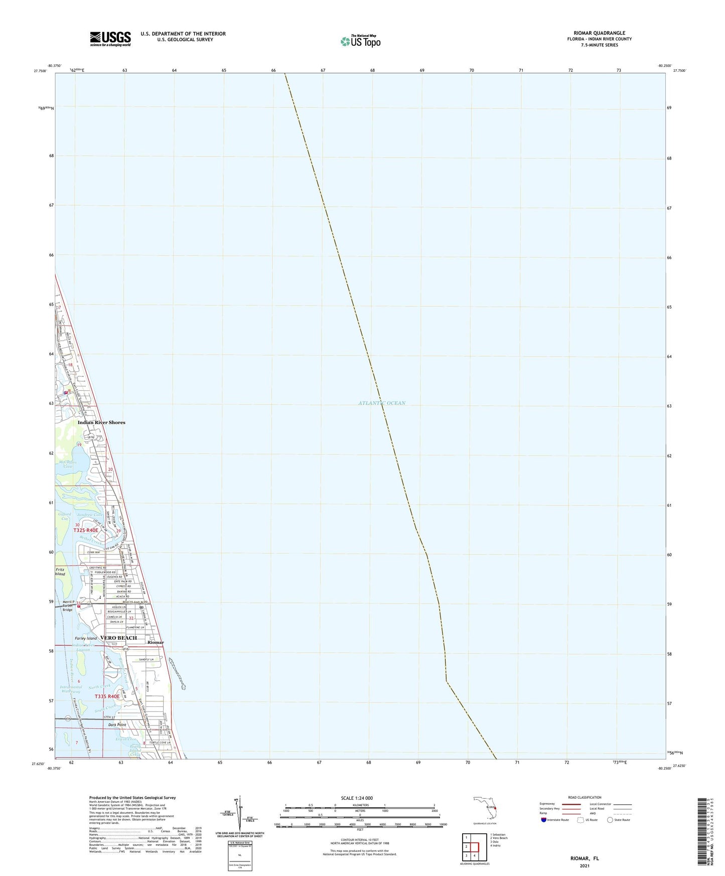
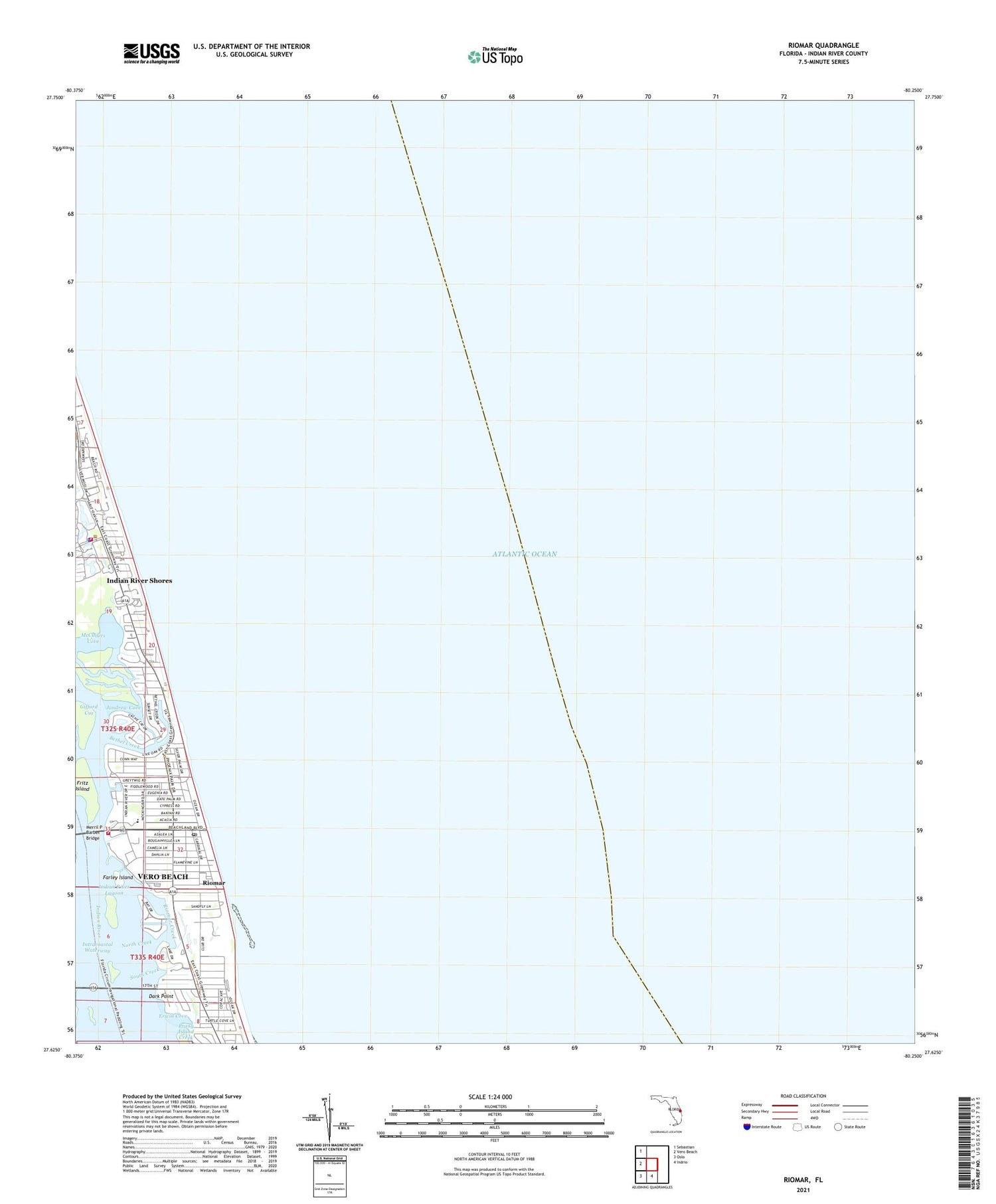
2024 topographic map quadrangle Riomar in the state of Florida. Scale: 1:24000. Based on the newly updated USGS 7.5' US Topo map series, this map is in the following counties: Indian River. The map contains contour data, water features, and other items you are used to seeing on USGS maps, but also has updated roads and other features. This is the next generation of topographic maps. Printed on high-quality waterproof paper with UV fade-resistant inks.
Quads adjacent to this one:
West: Vero Beach
Northwest: Sebastian
South: Indrio
Southwest: Oslo
This map covers the same area as the classic USGS quad with code o27080f3.
Contains the following named places: Beachland Elementary School, Bethel Creek, Christ United Methodist Church By-The-Sea, Dark Point, Erwin Cove, Farley Island, First Church of the Nazarene, Fritz Island, Gifford Cut, Humiston Park, Indian River County Fire Rescue Station 2, Indian River Shores Department of Public Safety, Indian River Shores Police Department, Jandrew Cove, McCullers Cove, Merril P Barber Bridge, North Creek, Riomar, Riomar Country Club, Riomar Creek, South Beach Park, South Creek, Vero Beach Finance Post Office