MyTopo
Shark River Island Florida US Topo Map
Couldn't load pickup availability
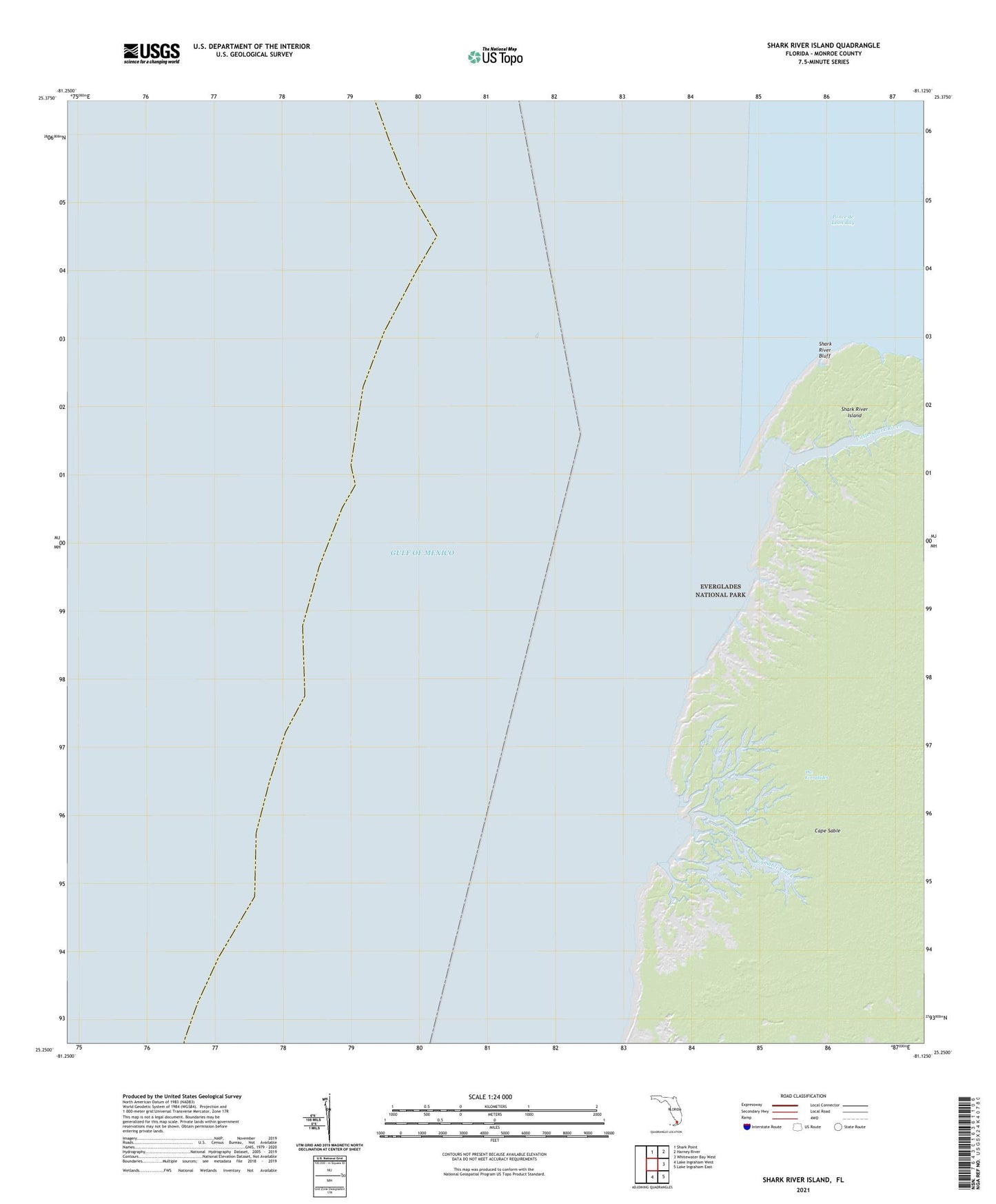
2025 topographic map quadrangle Shark River Island in the state of Florida. Scale: 1:24000. Based on the newly updated USGS 7.5' US Topo map series, this map is in the following counties: Monroe. The map contains contour data, water features, and other items you are used to seeing on USGS maps, but also has updated roads and other features. This is the next generation of topographic maps. Printed on high-quality waterproof paper with UV fade-resistant inks.
Quads adjacent to this one:
North: Shark Point
Northeast: Harney River
East: Whitewater Bay West
Southeast: Lake Ingraham East
South: Lake Ingraham West
This map covers the same area as the classic USGS quad with code o25081c2.
Contains the following named places: Big Sable Creek, Little Shark River, Ponce de Leon Bay, Shark River Bluff, Shark River Island