MyTopo
Kahakuloa Hawaii US Topo Map
Couldn't load pickup availability
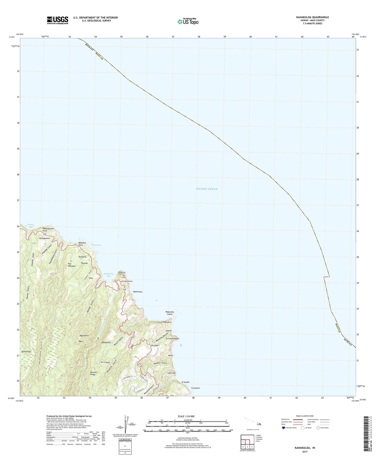
2024 topographic map quadrangle Kahakuloa in the state of Hawaii. Scale: 1:24000. Based on the newly updated USGS 7.5' US Topo map series, this map is in the following counties: Maui. The map contains contour data, water features, and other items you are used to seeing on USGS maps, but also has updated roads and other features. This is the next generation of topographic maps. Printed on high-quality waterproof paper with UV fade-resistant inks.
Quads adjacent to this one:
West: Napili
Southeast: Paia
South: Wailuku
Southwest: Lahaina
This map covers the same area as the classic USGS quad with code o20156h4.
Contains the following named places: A'awaiki, 'A'awanui, Alapapa Gulch, 'Awalau Gulch, Hakuhe'e, Haunaa, Honanana Gulch, Hononana, Kaemi, Kahakuloa, Kahakuloa Bay, Kahakuloa Head, Kahakuloa Homesteads, Kahakuloa Stream, Kaikaina, Kaukini Ridge, Keikapalani, Laho'ole, Mahinanui, Makalina Ravine, Makamaka'ole Stream, Maunakini, Moho, Moke'ehia Island, Mokolea Point, Owaluhi Gulch, Papanahoa Gulch, Papanalahoa Point, Poelua Bay, Poelua Gulch, Pohakuloa, Puu Haunako, Pu'u Koa'e, Pu'ukahuli'anapa, Pu'umakawana, Pu'uola'i, Pu'u'olelo, 'Umi, Waihali Gulch, Wailena Gulch, Waiokila Gulch, Waiola'i Gulch, Waipili Gulch