MyTopo
Kahoolawe OE NE Hawaii US Topo Map
Couldn't load pickup availability
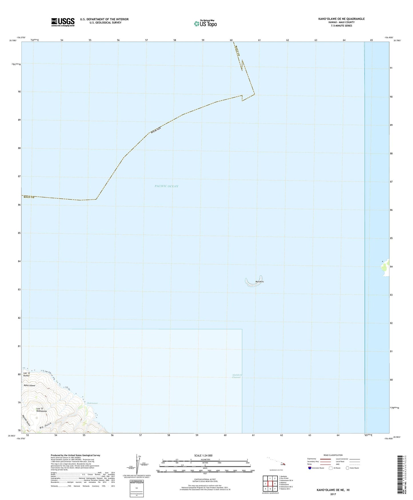
2024 topographic map quadrangle Kahoolawe OE NE in the state of Hawaii. Scale: 1:24000. Based on the newly updated USGS 7.5' US Topo map series, this map is in the following counties: Maui. The map contains contour data, water features, and other items you are used to seeing on USGS maps, but also has updated roads and other features. This is the next generation of topographic maps. Printed on high-quality waterproof paper with UV fade-resistant inks.
Quads adjacent to this one:
West: Kahoolawe OE N
South: Kahoolawe OE E
Southwest: Kahoolawe
Contains the following named places: Big Gulch, Hakioawa, HaleoPapa Heiau, Kula Division, Lae 'O Kuikui, Lua 'O Kealialuna, Molokini, Molokini Shoal Marine Life Conservation District, 'Oawawahie