MyTopo
Kekaha OE S Hawaii US Topo Map
Couldn't load pickup availability
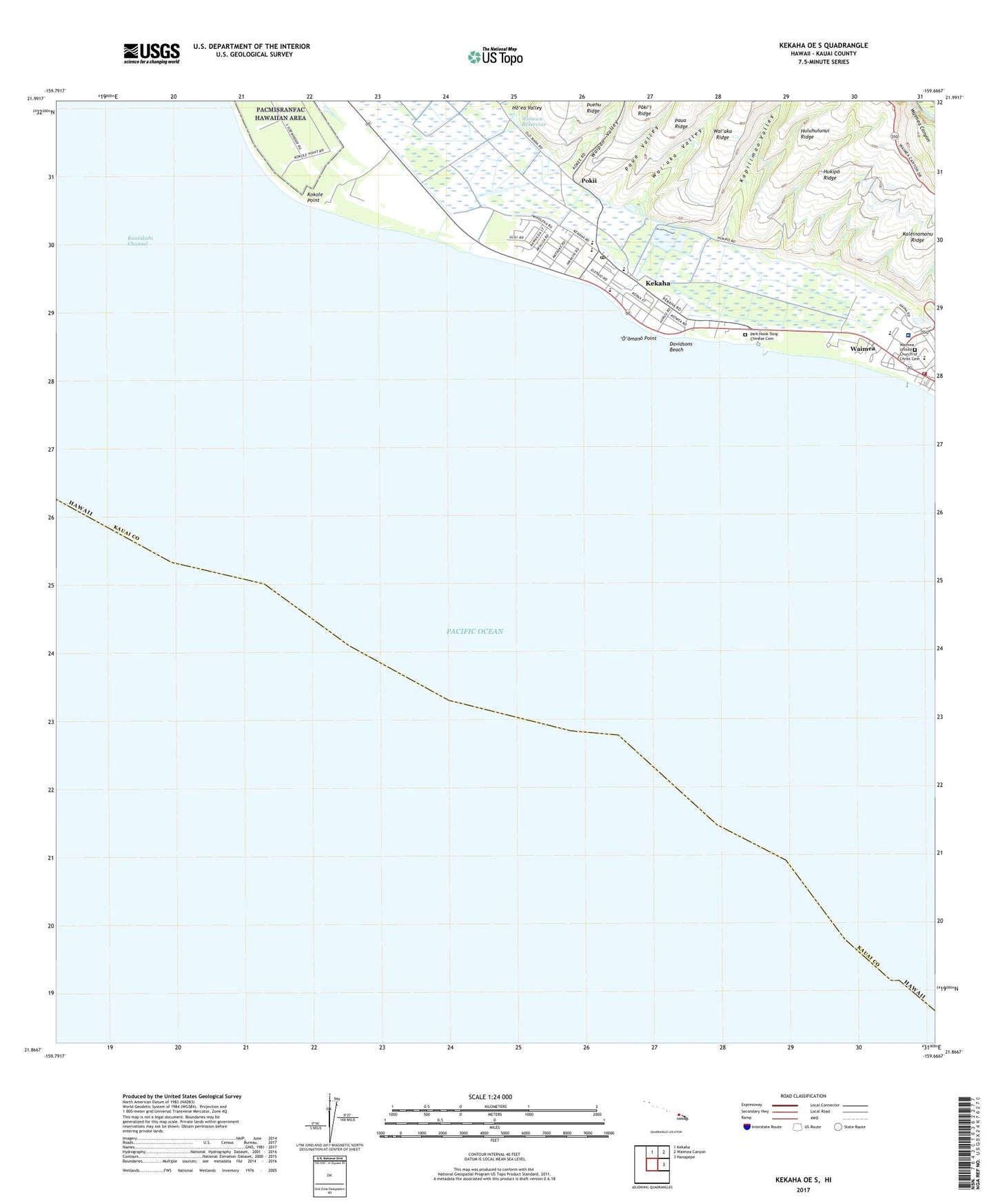
2024 topographic map quadrangle Kekaha OE S in the state of Hawaii. Scale: 1:24000. Based on the newly updated USGS 7.5' US Topo map series, this map is in the following counties: Kauai. The map contains contour data, water features, and other items you are used to seeing on USGS maps, but also has updated roads and other features. This is the next generation of topographic maps. Printed on high-quality waterproof paper with UV fade-resistant inks.
Quads adjacent to this one:
North: Kekaha
Northeast: Waimea Canyon
East: Hanapepe
Contains the following named places: Captain Cooks Memorial Park, Davidsons Beach, Faye Park, Hapokele Park, Hawaiian Cemetery, Hawaiian Protestant Church, Ho'ea Valley, Hukipo Ridge, Huluhulunui Ridge, Huluhulunui Shaft, Kaleinamanu Ridge, Kapilimao Valley, Kauai County Fire Department Waimea Station, Kauai Police Department - Waimea Station, KAUI-FM (Kekaha), Kekaha, Kekaha Beach Park, Kekaha Census Designated Place, Kekaha Ditch, Kekaha Elementary School, Kekaha Hawaiian Home Land, Kekaha Post Office, Kekaha Public Cemetery, Kekaha Shaft, Kikiaola Harbor, Kokole Point, Lucy Wright Beach County Park, Mana Drag Strip, Nakeiki'elima, 'O'omano Point, Park Hook Tong Chinese Cemetery, Paua Valley, Pokii, Russian Fort Elizabeth State Historic Park, Russian Fort Elizabeth State Historical Park, Sacred Hearts of Jesus and Mary Catholic Cemetery, Saint Theresa School, Saint Theresas Church, Wai'aka Valley, Waiawa Reservoir, Waimea, Waimea Athletic Field, Waimea Bay, Waimea Canyon Elementary and Intermediate School, Waimea Canyon Plaza Shopping Center, Waimea Census Designated Place, Waimea Ditch, Waimea High School, Waimea Honpa Hongwanji Church, Waimea Japanese Cemetery, Waimea Public Library, Waimea Recreational Pier State Park, Waimea River Park, Waimea United Church of Christ, Waimea United Church of Christ Cemetery, Waipao Valley, West Kauai Medical Center, ZIP Code: 96752


