MyTopo
Waimea Hawaii US Topo Map
Couldn't load pickup availability
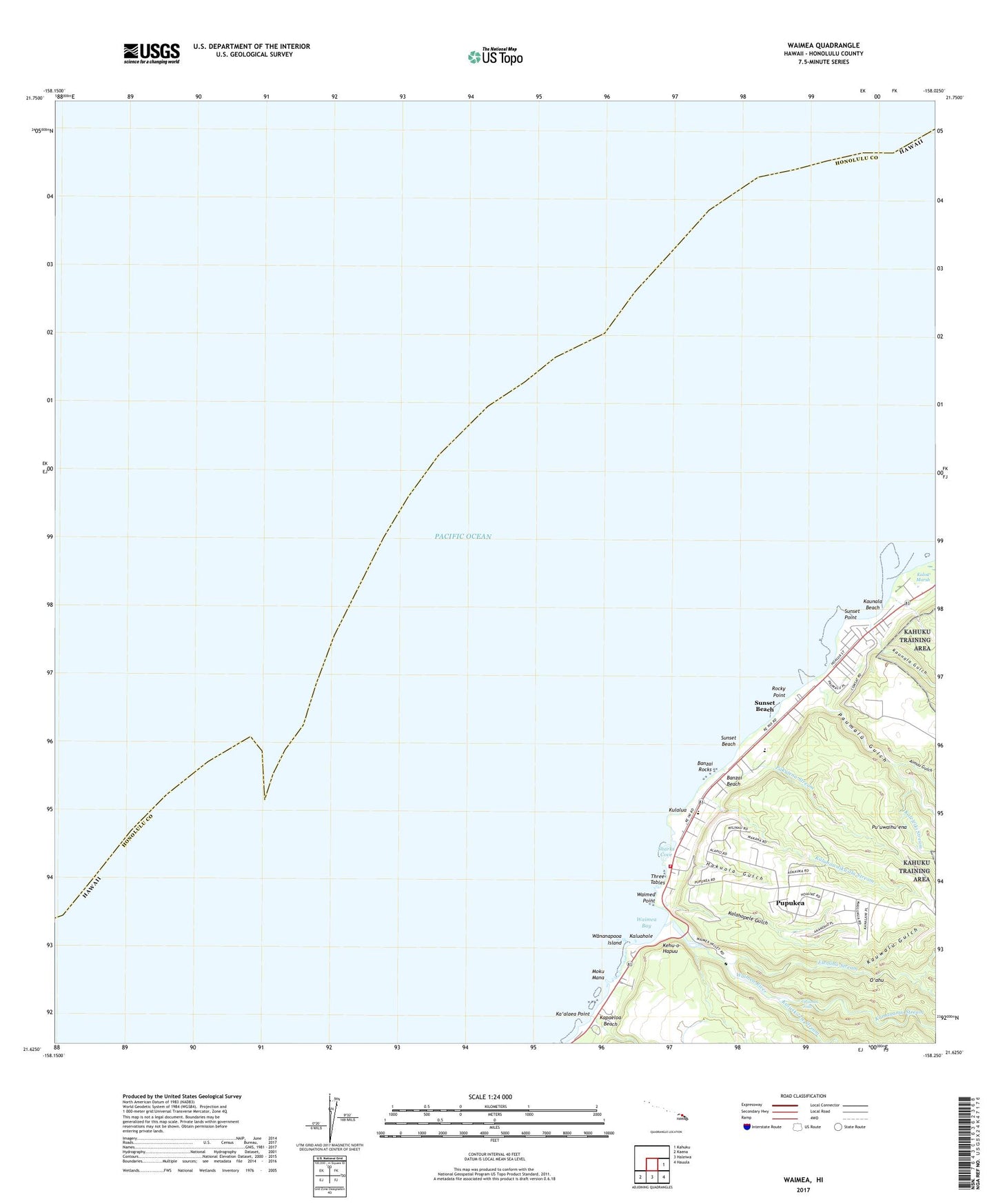
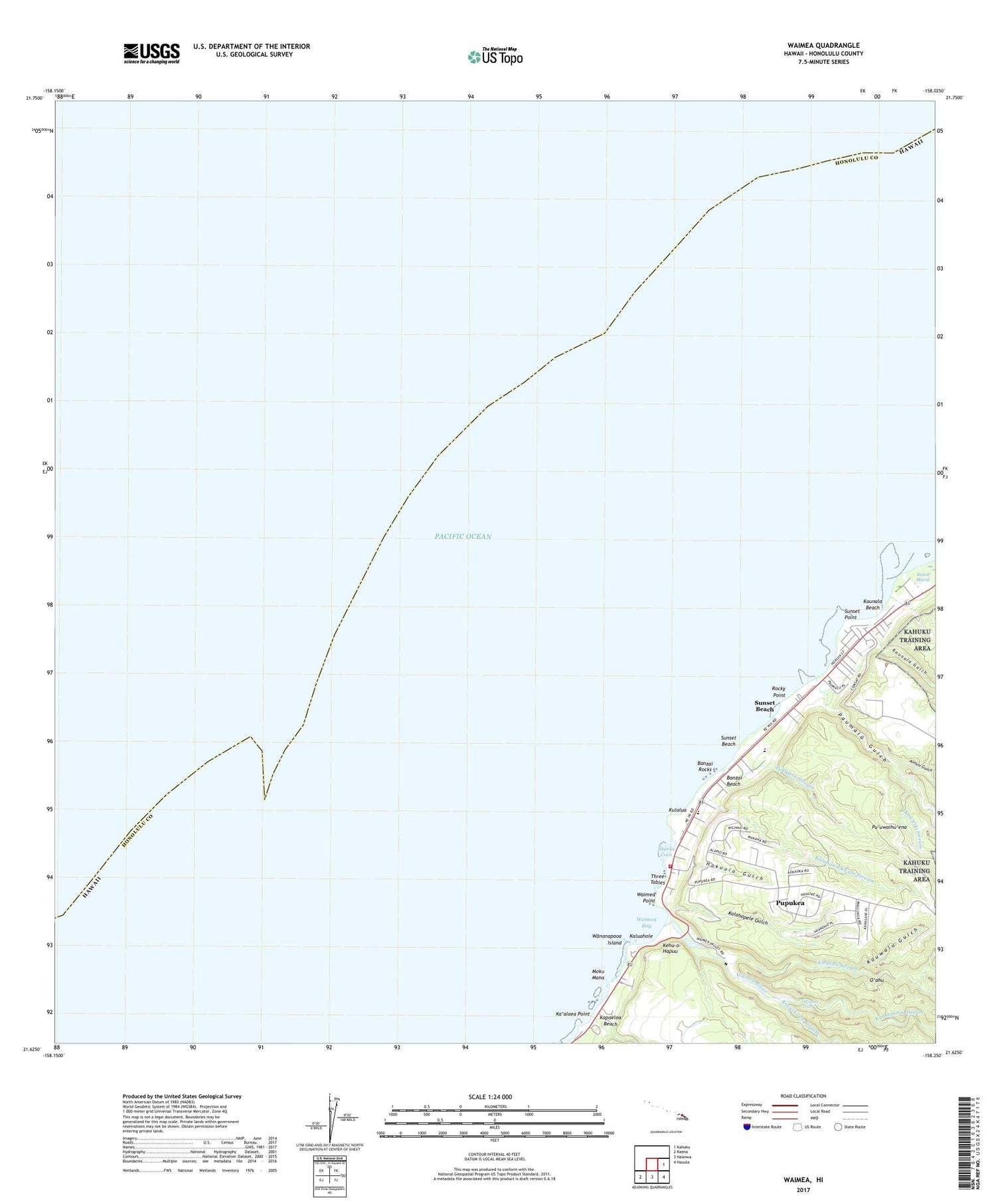
2024 topographic map quadrangle Waimea in the state of Hawaii. Scale: 1:24000. Based on the newly updated USGS 7.5' US Topo map series, this map is in the following counties: Honolulu. The map contains contour data, water features, and other items you are used to seeing on USGS maps, but also has updated roads and other features. This is the next generation of topographic maps. Printed on high-quality waterproof paper with UV fade-resistant inks.
Quads adjacent to this one:
East: Kahuku
Southeast: Hauula
South: Haleiwa
Southwest: Kaena
This map covers the same area as the classic USGS quad with code o21158f1.
Contains the following named places: Aimuu Gulch, Ashley Station, Banzai Beach, Banzai Rocks, Camp Pupukea, 'Ehukai Beach Park, 'Elehaha Stream, Hakuola Gulch, Honolulu Fire Department Station 11 Sunset Beach, Ka'alaea Point, Kahawai Beach Support Park, Kaiwiko'ele Stream, Kalahopele Gulch, Kaleleiki Stream, Kalou Marsh, Kaluahole, Kalunawaika'ala Stream, Kamananui Stream, Kapaeloa, Kapaeloa Beach, Kapo'o, Kaunala Beach, Kaunala Gulch, Kaunala Stream, Kauwalu Gulch, Kehu-o-Hapuu, Kulalua, Kupopolo Heiau, Leftovers Beach Park, Mokumanu, Pakulena Stream, Paumalu, Paumalu Camp, Paumalu Gulch, Paumalu Station, Paumalu Stream, Pupukea, Pupukea Beach Park, Pupukea Census Designated Place, Pupukea Marine Life Conservation District, Pupukea Paumalu Homesteads, Pu'u O Mahuka Heiau, Puu O Mahuka State Monument, Pu'uomahuka Heiau, Pu'uwaihu'ena, Rocky Point, Saints Peter and Paul Mission, Sharks Cove, Sunset Beach, Sunset Beach Christian School, Sunset Beach Church of Christ, Sunset Beach Elementary School, Sunset Beach Neighborhood Park, Sunset Beach Support Park, Sunset Point, Sunset Point Beach Park, Three Tables, University of Hawai'i Agricultural Experiment Station, Uppers Beach Park, Waialee Training School for Boys, Waimea, Waimea Bay, Waimea Beach Park, Waimea Falls, Waimea Point, Waimea River, Wananapaoa Island, Washington Statue


