MyTopo
Black Butte West Idaho US Topo Map
Couldn't load pickup availability
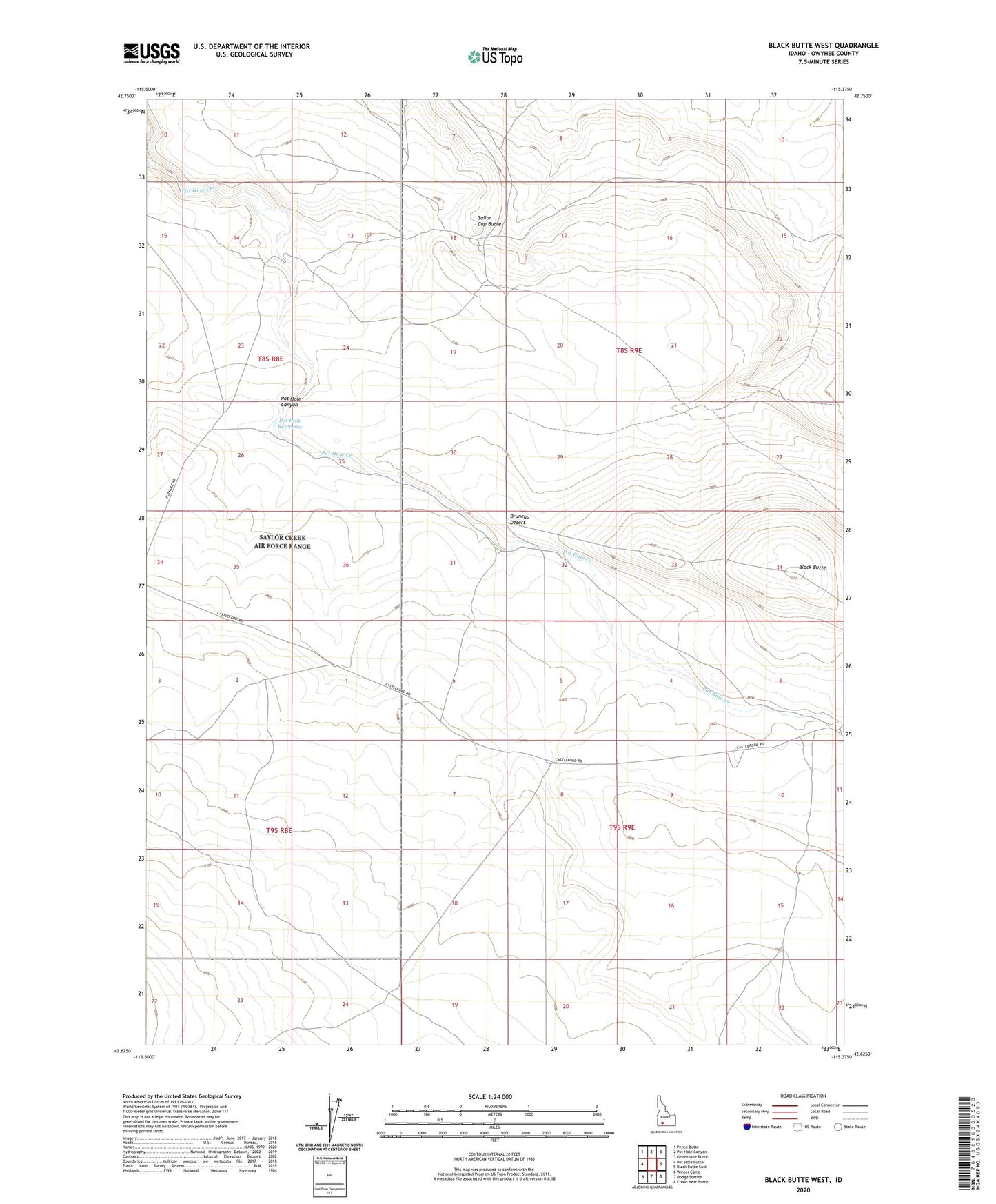
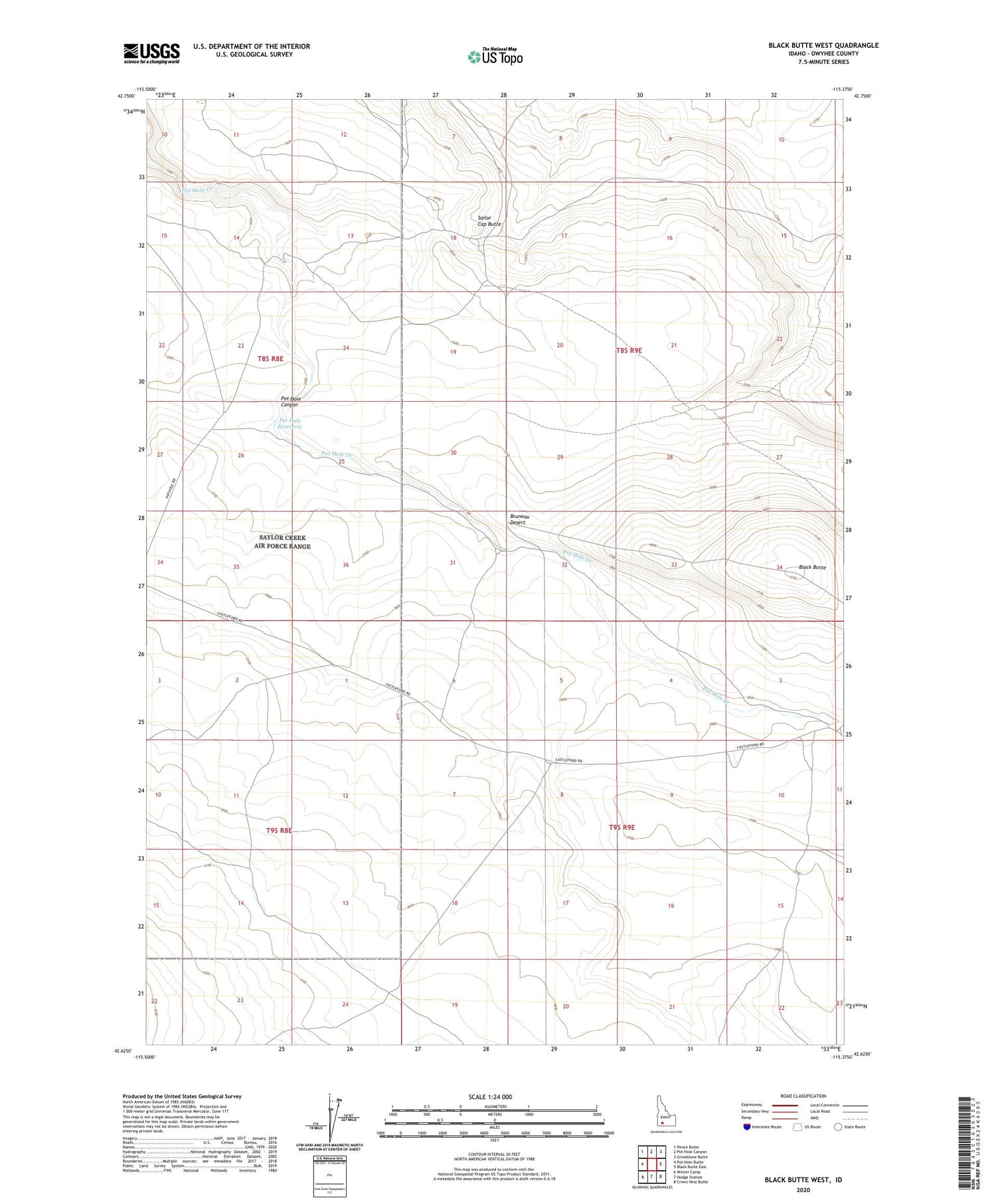
2023 topographic map quadrangle Black Butte West in the state of Idaho. Scale: 1:24000. Based on the newly updated USGS 7.5' US Topo map series, this map is in the following counties: Owyhee. The map contains contour data, water features, and other items you are used to seeing on USGS maps, but also has updated roads and other features. This is the next generation of topographic maps. Printed on high-quality waterproof paper with UV fade-resistant inks.
Quads adjacent to this one:
West: Pot Hole Butte
Northwest: Pence Butte
North: Pot Hole Canyon
Northeast: Grindstone Butte
East: Black Butte East
Southeast: Crows Nest Butte
South: Hodge Station
Southwest: Winter Camp
This map covers the same area as the classic USGS quad with code o42115f4.
Contains the following named places: Black Butte, Lower Black Butte Crossing, Pot Hole Creek Dam, Pot Hole Reservoir, Sailor Cap Butte