MyTopo
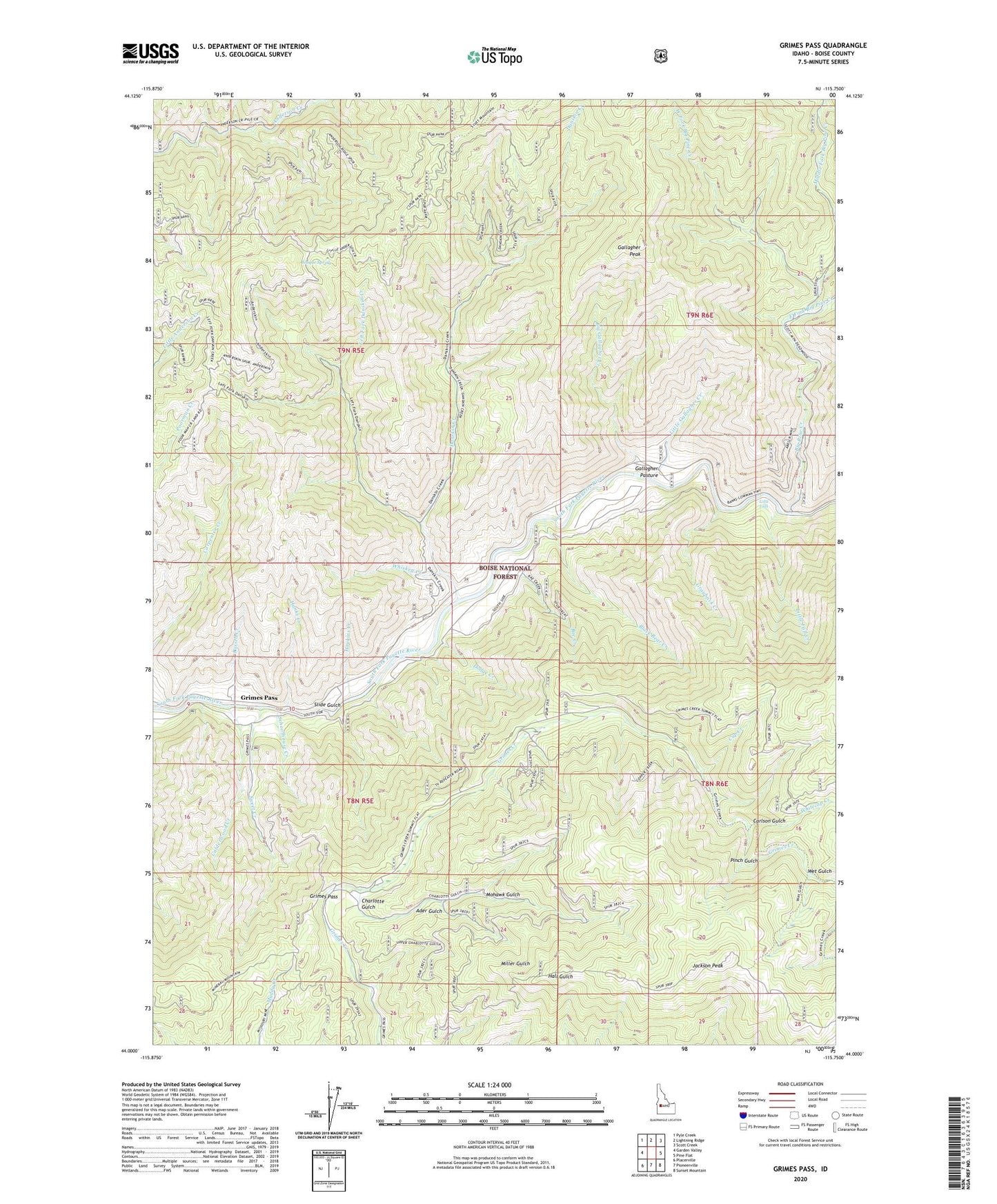
Grimes Pass Idaho US Topo Map
Couldn't load pickup availability
Also explore the Grimes Pass Forest Service Topo of this same quad for updated USFS data
2024 topographic map quadrangle Grimes Pass in the state of Idaho. Scale: 1:24000. Based on the newly updated USGS 7.5' US Topo map series, this map is in the following counties: Boise. The map contains contour data, water features, and other items you are used to seeing on USGS maps, but also has updated roads and other features. This is the next generation of topographic maps. Printed on high-quality waterproof paper with UV fade-resistant inks.
Quads adjacent to this one:
West: Garden Valley
Northwest: Pyle Creek
North: Lightning Ridge
Northeast: Scott Creek
East: Pine Flat
Southeast: Sunset Mountain
South: Pioneerville
Southwest: Placerville
This map covers the same area as the classic USGS quad with code o44115a7.
Contains the following named places: Ader Gulch, Basque Spring, Big Gallagher Creek, Big Pine Creek, Black Bear Creek, Calderwood Creek, Carlson Gulch, Charlotte Gulch, Comeback Mine, Cup Creek, Danskin Creek, Diana School, Dodge Creek, East Fork Big Pine Creek, Forks of Big Pine Creek Campground, Gallagher Guard Station, Gallagher Pasture, Gallagher Peak, Golden Age Mine, Golden Age Mine Heliport, Grayback Creek, Grimes Monument, Grimes Pass, Hanks Creek, Hopkins Creek, Jackson Peak, Left Fork Danskin Creek, Little Fall Creek, Little Falls, Little Gallagher Creek, Middle Fork Big Pine Creek, Missouri Mine, Mohawk Gulch, Oro Mine, Pinch Gulch, Pine Creek Campground, Rae Creek, Russell Creek, Schoolhouse Creek, Slide Gulch, Sweet Creek, West Fork Big Pine Creek, Wet Gulch, Whiskey Creek, Whitecap Creek


