
MyTopo
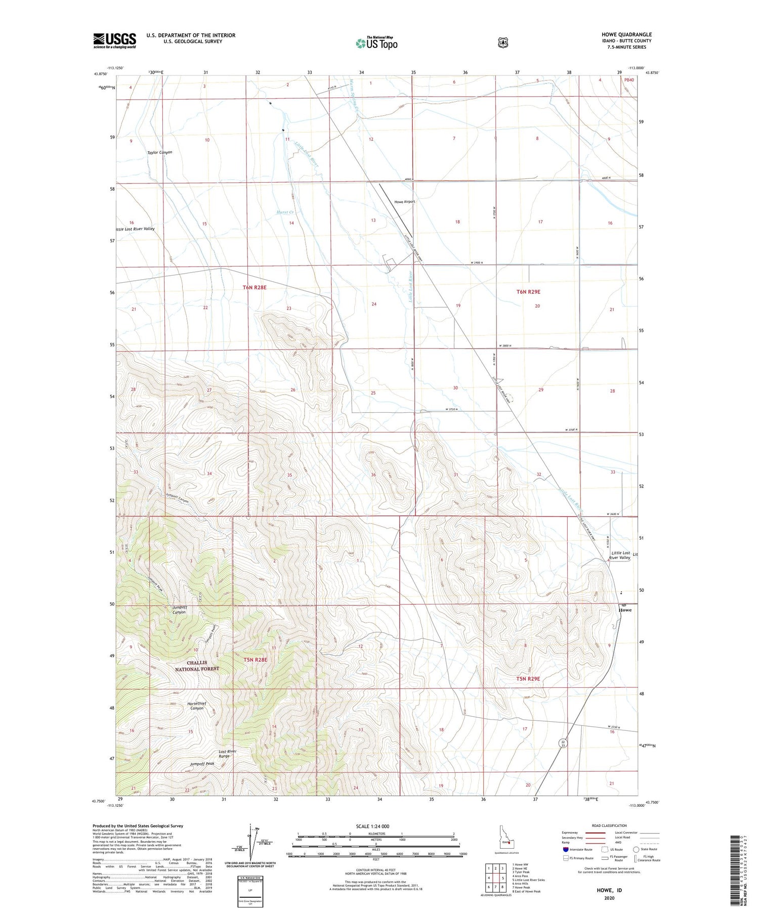
Howe Idaho US Topo Map
Couldn't load pickup availability
Also explore the Howe Forest Service Topo of this same quad for updated USFS data
2023 topographic map quadrangle Howe in the state of Idaho. Scale: 1:24000. Based on the newly updated USGS 7.5' US Topo map series, this map is in the following counties: Butte. The map contains contour data, water features, and other items you are used to seeing on USGS maps, but also has updated roads and other features. This is the next generation of topographic maps. Printed on high-quality waterproof paper with UV fade-resistant inks.
Quads adjacent to this one:
West: Arco Pass
Northwest: Howe NW
North: Howe NE
Northeast: Tyler Peak
East: Little Lost River Sinks
Southeast: East of Howe Peak
South: Howe Peak
Southwest: Arco Hills
This map covers the same area as the classic USGS quad with code o43113g1.
Contains the following named places: Howe, Howe Airport, Howe Cemetery, Howe Elementary School, Howe Post Office, Hurst Creek, Jumpoff Peak, South Creek, Taylor Canyon, Warm Spring Creek


