MyTopo
Lidy Hot Springs Idaho US Topo Map
Couldn't load pickup availability
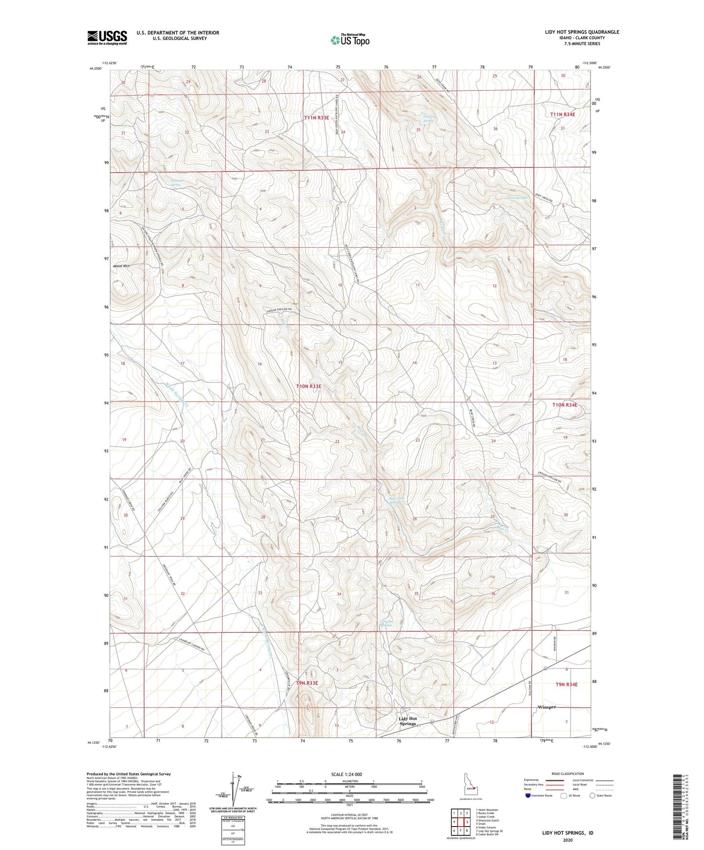
2023 topographic map quadrangle Lidy Hot Springs in the state of Idaho. Scale: 1:24000. Based on the newly updated USGS 7.5' US Topo map series, this map is in the following counties: Clark. The map contains contour data, water features, and other items you are used to seeing on USGS maps, but also has updated roads and other features. This is the next generation of topographic maps. Printed on high-quality waterproof paper with UV fade-resistant inks.
Quads adjacent to this one:
West: Shamrock Gulch
Northwest: Heart Mountain
North: Rocky Creek
Northeast: Indian Creek
East: Small
Southeast: Cedar Butte SW
South: Lidy Hot Springs SE
Southwest: Snaky Canyon
This map covers the same area as the classic USGS quad with code o44112b5.
Contains the following named places: Antelope Spring, Blue Creek, Blue Creek Spring, Lidy Hot Springs, Park Dam, Stinking Spring, Three Springs, West Clark Division, Winsper