MyTopo
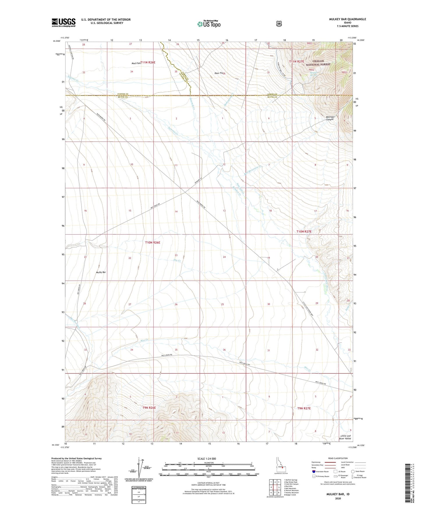
Mulkey Bar Idaho US Topo Map
Couldn't load pickup availability
Also explore the Mulkey Bar Forest Service Topo of this same quad for updated USFS data
2023 topographic map quadrangle Mulkey Bar in the state of Idaho. Scale: 1:24000. Based on the newly updated USGS 7.5' US Topo map series, this map is in the following counties: Butte, Lemhi, Custer. The map contains contour data, water features, and other items you are used to seeing on USGS maps, but also has updated roads and other features. This is the next generation of topographic maps. Printed on high-quality waterproof paper with UV fade-resistant inks.
Quads adjacent to this one:
West: Red Hills
Northwest: Moffett Springs
North: Big Windy Peak
Northeast: Coal Kiln Canyon
East: Bell Mountain
Southeast: Badger Creek
South: Hawley Mountain
Southwest: Warren Mountain
This map covers the same area as the classic USGS quad with code o44113b3.
Contains the following named places: Basinger Canyon, Bell Mountain Creek, Bell Mountain Ranger Station, Black Creek, Deep Creek, Deer Flats, Dry Creek, Magpie Springs, Mahogany Creek, Mulky Bar, Sawmill Creek, Summit Creek, Telford Pipe