MyTopo
Northwest Emmett Idaho US Topo Map
Couldn't load pickup availability
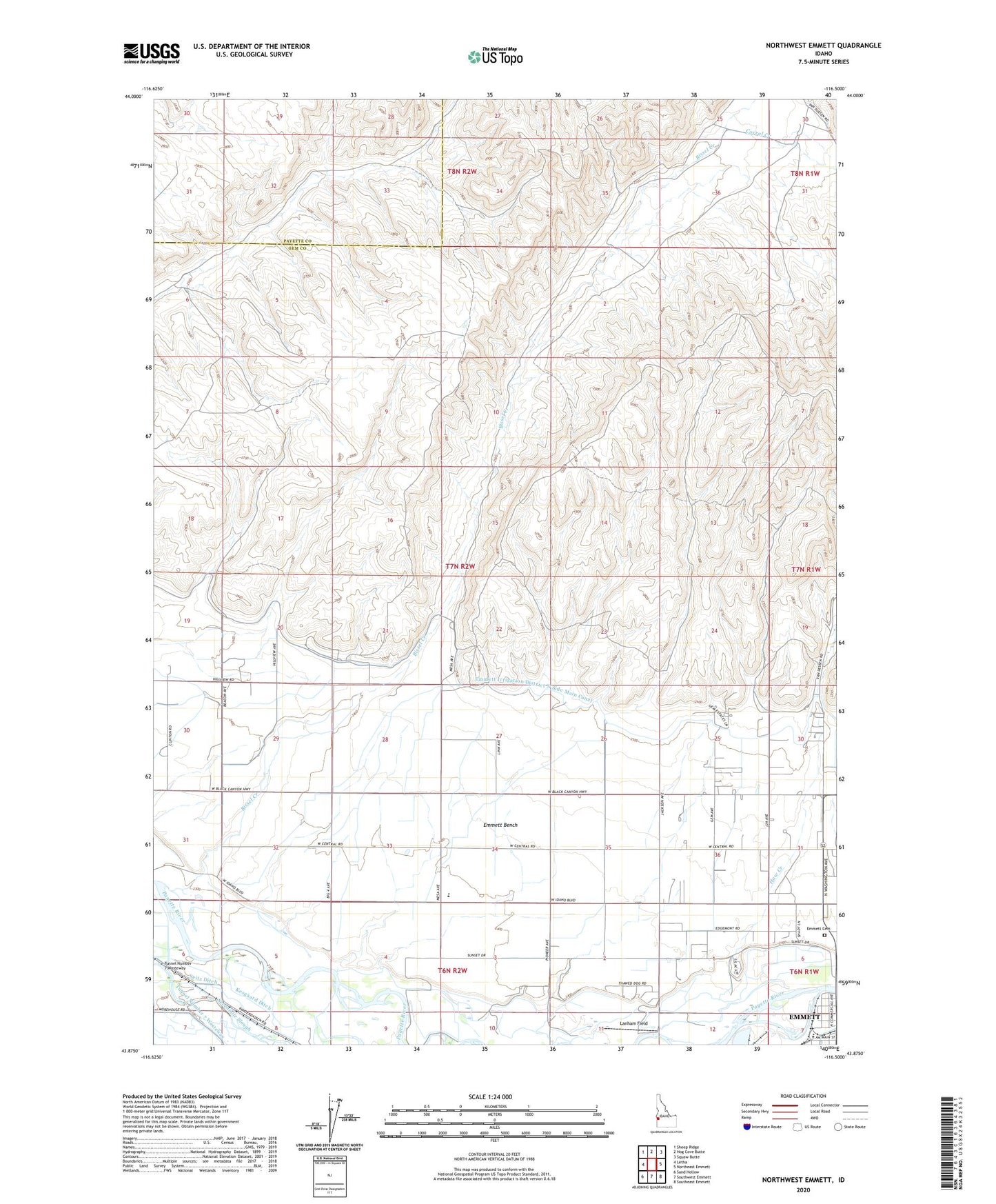
2024 topographic map quadrangle Northwest Emmett in the state of Idaho. Scale: 1:24000. Based on the newly updated USGS 7.5' US Topo map series, this map is in the following counties: Gem, Payette. The map contains contour data, water features, and other items you are used to seeing on USGS maps, but also has updated roads and other features. This is the next generation of topographic maps. Printed on high-quality waterproof paper with UV fade-resistant inks.
Quads adjacent to this one:
West: Letha
Northwest: Sheep Ridge
North: Hog Cove Butte
Northeast: Squaw Butte
East: Northeast Emmett
Southeast: Southeast Emmett
South: Southwest Emmett
Southwest: Sand Hollow
This map covers the same area as the classic USGS quad with code o43116h5.
Contains the following named places: Bissel Creek, Brick Elementary School, Central Mesa School, Corral Creek, Emmett Bench, Emmett Bench Division, Emmett Cemetery, Emmett Irrigation District North Side Main Canal, Kesgaard Ditch, Lanham Field, Seitz Ditch, Van Duesan Ranch, ZIP Code: 83617