MyTopo
Piute Basin West Idaho US Topo Map
Couldn't load pickup availability
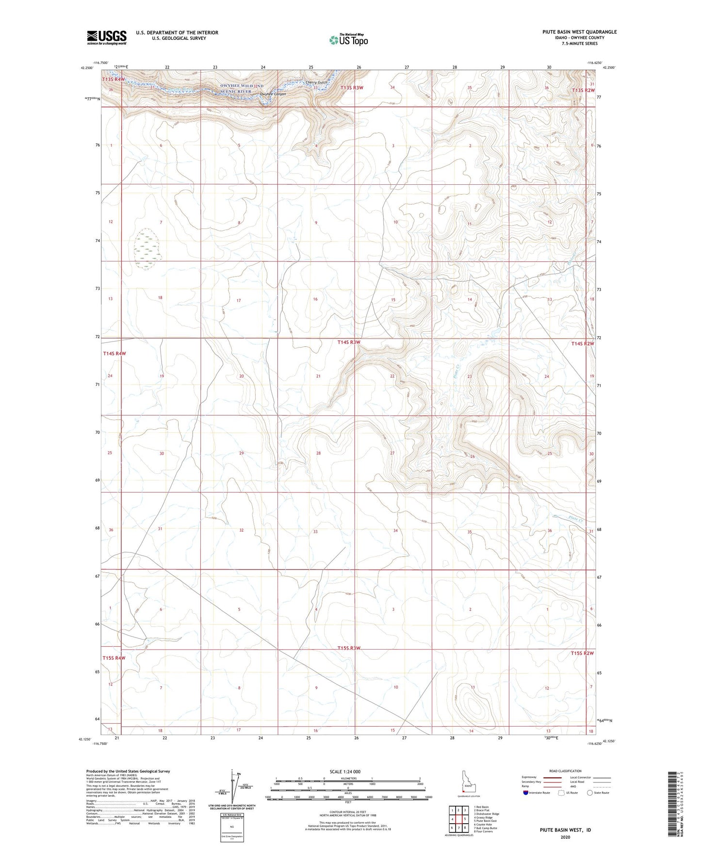
2023 topographic map quadrangle Piute Basin West in the state of Idaho. Scale: 1:24000. Based on the newly updated USGS 7.5' US Topo map series, this map is in the following counties: Owyhee. The map contains contour data, water features, and other items you are used to seeing on USGS maps, but also has updated roads and other features. This is the next generation of topographic maps. Printed on high-quality waterproof paper with UV fade-resistant inks.
Quads adjacent to this one:
West: Grassy Ridge
Northwest: Red Basin
North: Brace Flat
Northeast: Dickshooter Ridge
East: Piute Basin East
Southeast: Four Corners
South: Bull Camp Butte
Southwest: Coyote Hole
This map covers the same area as the classic USGS quad with code o42116b6.
Contains the following named places: Cherry Gulch