MyTopo
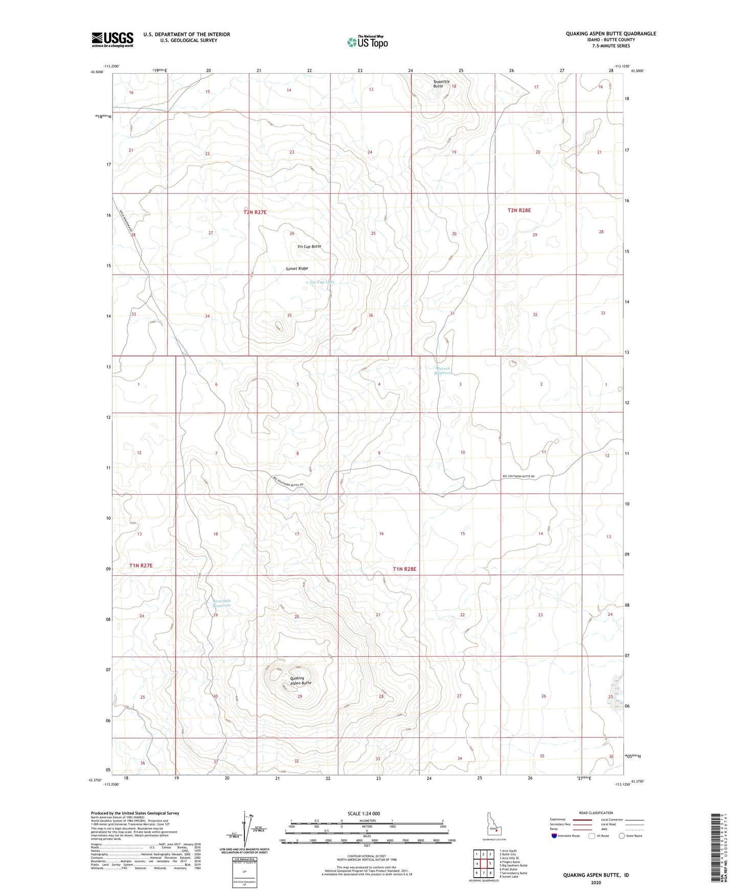
Quaking Aspen Butte Idaho US Topo Map
Couldn't load pickup availability
2023 topographic map quadrangle Quaking Aspen Butte in the state of Idaho. Scale: 1:24000. Based on the newly updated USGS 7.5' US Topo map series, this map is in the following counties: Butte. The map contains contour data, water features, and other items you are used to seeing on USGS maps, but also has updated roads and other features. This is the next generation of topographic maps. Printed on high-quality waterproof paper with UV fade-resistant inks.
Quads adjacent to this one:
West: Fingers Butte
Northwest: Arco South
North: Butte City
Northeast: Arco Hills SE
East: Big Southern Butte
Southeast: Sunset Lake
South: Serviceberry Butte
Southwest: Pratt Butte
This map covers the same area as the classic USGS quad with code o43113d2.
Contains the following named places: Parson Reservoir, Quaking Aspen Butte, Quaking Aspen Butte Landing Strip, Quaking Aspen Reservoir, Sunset Ridge, Sunset Well, Teakettle Butte, Tin Cup Butte, Tin Cup Lake, West Side Reservoir