MyTopo
Streator South Illinois US Topo Map
Couldn't load pickup availability
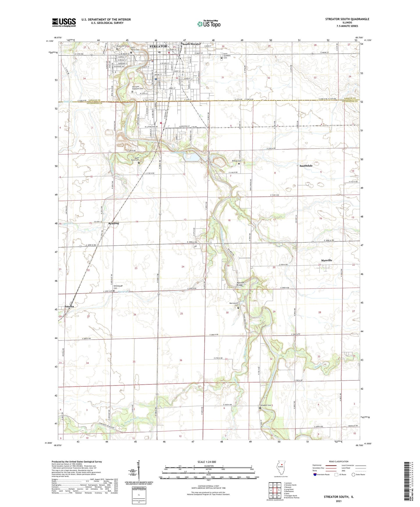
2024 topographic map quadrangle Streator South in the state of Illinois. Scale: 1:24000. Based on the newly updated USGS 7.5' US Topo map series, this map is in the following counties: Livingston, LaSalle. The map contains contour data, water features, and other items you are used to seeing on USGS maps, but also has updated roads and other features. This is the next generation of topographic maps. Printed on high-quality waterproof paper with UV fade-resistant inks.
Quads adjacent to this one:
West: Long Point
Northwest: Leonore
North: Streator North
Northeast: Ransom
East: Blackstone
Southeast: Northwest Pontiac
South: Flanagan North
Southwest: Dana
This map covers the same area as the classic USGS quad with code o41088a7.
Contains the following named places: Advanced Medical Transport of Central Illinois, Ancona, Argobright School, Barrickman Cemetery, Bodznick Park, Campbell Cemetery, Carriage Lane Estates, Cashmere School, Centennial School, Central Church of Christ, Central Park, Champion School, Church of the Nazarene, Church of the Open Bible, City of Streator, City Park, Coalville, Coalville School, Defenbaugh Cemetery, Defenbaugh School, Diamond Creek, East School, Engle Lane Theater, Hagi Landing Area, Holy Trinity Lutheran Church, Katchewan Park, Kimes Elementary School, Kingdom Hall, Lentman Lake, Lentman Lake Dam, Lentman Landing Strip, Long Point Creek, Manville, Manville Bridge, Manville Camp, Manville School, Manville United Methodist Church, Merriner Park, Mole Creek, Moon Creek, Moon Point Cemetery, Moon School, Mud Creek, Oakland Park, Oakland Park Elementary School, Old Saint Stephens Cemetery, OSF Medical Center - Streator, Phillips Cemetery, Prairie Creek, Ramme School, Reading, Reading Township Fire Protection District, Riverview Cemetery, Saint Anthony's Church, Saint Anthonys School, Saint Marys Cemetery, Saint Marys Hospital Heliport, Saint Marys School, Saint Stephens Cemetery, Saint Stephens School, Sass Landing Strip, Sass School, Sherman Elementary School, Sherman School, Smithdale, Smithdale School, South Streator, Southside Athletic Park, Streator, Streator Area Landfill, Streator City Hall, Streator Fire Department, Streator Police Department, Streator Post Office, Streator Public Library, Streator Woodland School, Township of Newtown, Township of Reading, Twin Creeks Golf Course, Vermilion City, Vermilion River Dam, Westgate Plaza Shopping Center, ZIP Code: 61311


