MyTopo
Ocheyedan Iowa US Topo Map
Couldn't load pickup availability
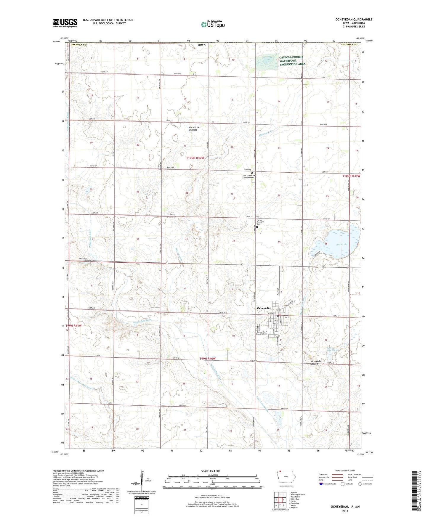
2022 topographic map quadrangle Ocheyedan in the state of Iowa. Scale: 1:24000. Based on the newly updated USGS 7.5' US Topo map series, this map is in the following counties: Osceola, Nobles. The map contains contour data, water features, and other items you are used to seeing on USGS maps, but also has updated roads and other features. This is the next generation of topographic maps. Printed on high-quality waterproof paper with UV fade-resistant inks.
Quads adjacent to this one:
West: Sibley East
Northwest: Bigelow
North: Worthington South
Northeast: Round Lake
East: Harris
Southeast: May City
South: Melvin
Southwest: Cloverdale
Contains the following named places: Christian Reformed Church, City of Ocheyedan, Clear Lake Stock Farms, Cooperative Elevator, D T K Farms, Devils Ridge Wildlife Area, Ely-Bauermeister Wildlife Management Area, Horton Township Cemetery, Horton Township Cemetery Prairie Preserve, Keller Wildlife Area, Loof Wildlife Management Area, Margae Farms, Methodist Church, Meyer Dairy Farm, Ocheyedan, Ocheyedan Ambulance, Ocheyedan Christian School, Ocheyedan Community School, Ocheyedan Fire Department, Ocheyedan Mound, Ocheyedan Mound Wildlife Area, Ocheyedan Pits Recreation Area, Ocheyedan Post Office, Ocheyedan Public Library, Ocheyedan Township Cemetery, Ocheyedan Well Wildlife Area, Ocheyedan 'Y' Rest Area, Osceola County, Osceola County Waterfowl Production Area, Osterman Creek, Randall Farm, Rush Lake, Rush Lake State Game Management Area, Saint John Lutheran Church, Saint Peter Lutheran Church, Sunrise Pullet Farm Number 1, Sunrise Pullet Farm Number 2, Sutton Lake Marsh, Swalve Wildlife Management Area, Township of Horton, Township of Ocheyedan, Travaille Family Farms, Van Diepen Farms, Willow Creek County Recreation Area, Willow Creek Fen - Wetlands Area, Wilson Pit Wildlife Area, Wolters Prairie, Zion Lutheran Cemetery, Zion Lutheran Church, Zion School, ZIP Code: 51354


