MyTopo
Middle Ladder Creek West Kansas US Topo Map
Couldn't load pickup availability
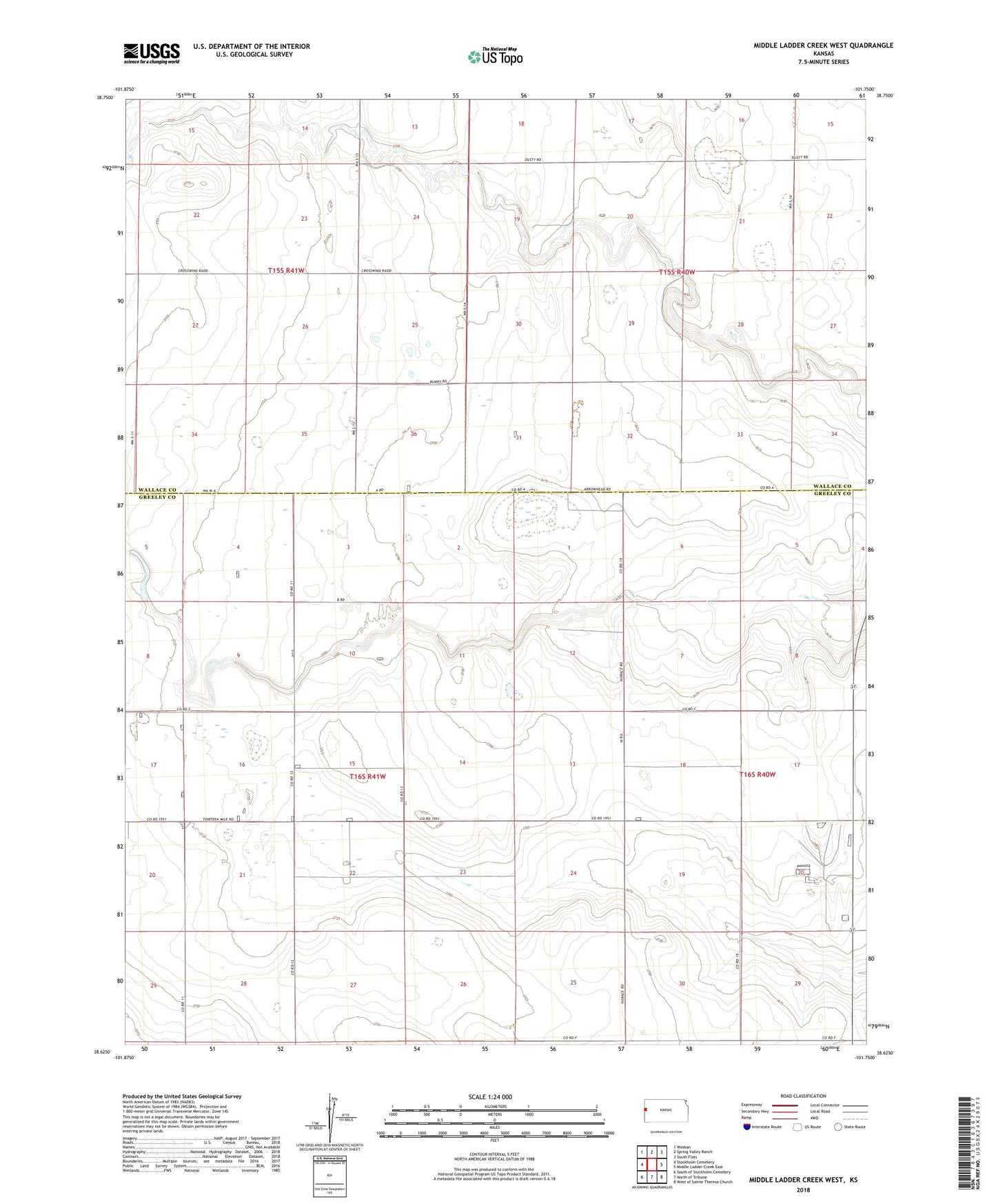
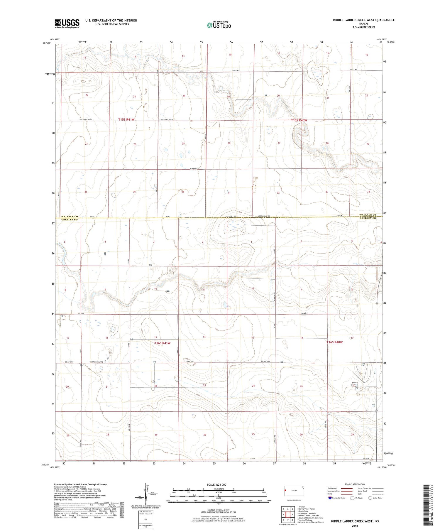
2022 topographic map quadrangle Middle Ladder Creek West in the state of Kansas. Scale: 1:24000. Based on the newly updated USGS 7.5' US Topo map series, this map is in the following counties: Greeley, Wallace. The map contains contour data, water features, and other items you are used to seeing on USGS maps, but also has updated roads and other features. This is the next generation of topographic maps. Printed on high-quality waterproof paper with UV fade-resistant inks.
Quads adjacent to this one:
West: Stockholm Cemetery
Northwest: Weskan
North: Spring Valley Ranch
Northeast: South Flats
East: Middle Ladder Creek East
Southeast: West of Sainte Theresa Church
South: North of Tribune
Southwest: South of Stockholm Cemetery
This map covers the same area as the classic USGS quad with code o38101f7.
Contains the following named places: North Fork Middle Ladder Creek, South Fork Middle Ladder Creek, Tribune Grain Elevator Number 3, Walter Airport