MyTopo
Proffitt Lake SW Kansas US Topo Map
Couldn't load pickup availability
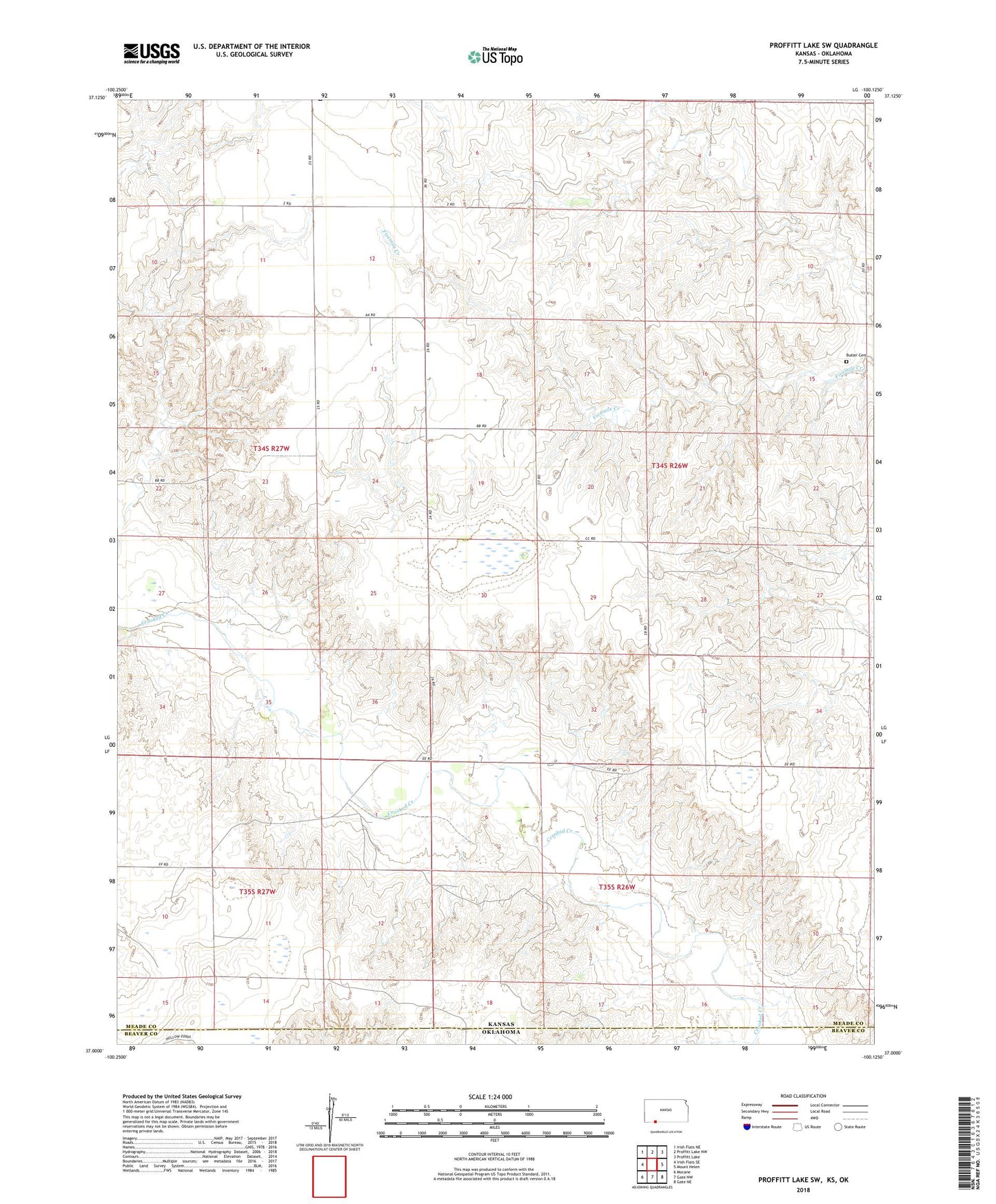
2022 topographic map quadrangle Proffitt Lake SW in the state of Kansas. Scale: 1:24000. Based on the newly updated USGS 7.5' US Topo map series, this map is in the following counties: Meade, Beaver. The map contains contour data, water features, and other items you are used to seeing on USGS maps, but also has updated roads and other features. This is the next generation of topographic maps. Printed on high-quality waterproof paper with UV fade-resistant inks.
Quads adjacent to this one:
West: Irish Flats SE
Northwest: Irish Flats NE
North: Proffitt Lake NW
Northeast: Proffitt Lake
East: Mount Helen
Southeast: Gate NE
South: Gate NW
Southwest: Mocane
Contains the following named places: Butler Cemetery, Greensward, Lakeland, Painter Landing Strip, Township of Sand Creek