MyTopo
Shallow Water Kansas US Topo Map
Couldn't load pickup availability
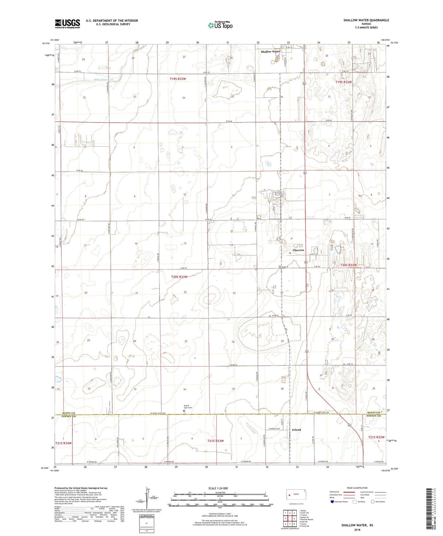
2022 topographic map quadrangle Shallow Water in the state of Kansas. Scale: 1:24000. Based on the newly updated USGS 7.5' US Topo map series, this map is in the following counties: Scott, Finney. The map contains contour data, water features, and other items you are used to seeing on USGS maps, but also has updated roads and other features. This is the next generation of topographic maps. Printed on high-quality waterproof paper with UV fade-resistant inks.
Quads adjacent to this one:
West: Modoc SE
Northwest: Modoc
North: Scott City
Northeast: Tractor
East: Pawnee Mound
Southeast: Tennis NE
South: Tennis
Southwest: Wolf NE
This map covers the same area as the classic USGS quad with code o38100c8.
Contains the following named places: Berkly, Chevron, Friend, Galesburg, Gospel Fellowship Church, Prairie View Cemetery, Prairie View Church of the Brethren, Roark School, Shallow Water, Shallow Water Census Designated Place