MyTopo
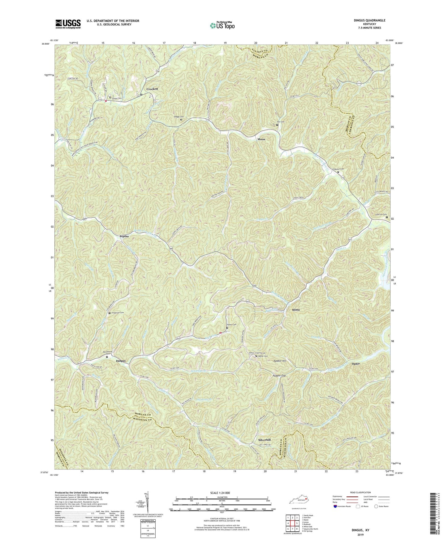
Dingus Kentucky US Topo Map
Couldn't load pickup availability
2022 topographic map quadrangle Dingus in the state of Kentucky. Scale: 1:24000. Based on the newly updated USGS 7.5' US Topo map series, this map is in the following counties: Morgan, Magoffin, Lawrence, Elliott. The map contains contour data, water features, and other items you are used to seeing on USGS maps, but also has updated roads and other features. This is the next generation of topographic maps. Printed on high-quality waterproof paper with UV fade-resistant inks.
Quads adjacent to this one:
West: Lenox
Northwest: Sandy Hook
North: Isonville
Northeast: Mazie
East: Redbush
Southeast: Oil Springs
South: Salyersville North
Southwest: White Oak
This map covers the same area as the classic USGS quad with code o37083h1.
Contains the following named places: Bear Branch, Beculhimer Cemetery, Birch Fork, Buck Branch, Church of Christ, Cindas Creek, Cindas Creek Church, Coffee Creek, Cold Iron Cemetery, Conley Cemetery, Crockett, Crockett Community Church, Crockett Post Office, Crockett School, Daniel Cemetery, Deadling Branch, Dingus, Dingus Post Office, Doc Ison Branch, Elkfork-Ophir Division, Faith Hills Mennonite Church, Fergerson Cemetery, Ferguson Branch, Ferguson Cemetery, Fyffe Branch, Fyffe Post Office, Gillam Branch, Gray Branch, Gum Bottom Branch, Hinson Branch, Hog Branch, Horse Mill Branch, Ison Cemetery, Jeptha, Jeptha Post Office, Jeptha School, Laurel Branch, Laurel Fork, Lebanon Church of United Baptist, Lepton Church, Lick Branch, Little Caney Branch, Long Branch, Lost Creek, Lower Sandlick, Martha Enterprise Baptist Church, Meetinghouse Branch, Middle Fork, Mima, Mima Post Office, Moon, Moon Post Office, New Salem Church, Old House Branch, Old Paint Primitive Baptist Church, Open Fork Church, Ophir, Ophir Enterprize Baptist Church, Ophir Post Office, Paint Creek Church, Pasture Branch, Paulina Branch, Peddler Gap, Peddler Gap 172 Volunteer Fire Department, Peddler Gap School, Peddler Gap Volunteer Fire Department, Peddler Hill, Pelfry Branch, Pendelton Church, Peter Cave Branch, Piney Branch, Powder Spring Branch, Relief Post Office, Right Fork Smith Creek, Road Fork, Silverhill, Silverhill Post Office, Silverhill School, Skaggs Cemetery, Smith Creek, Smith Creek School, Smith Creek Valley Church, Sow Branch, Splitwood Branch, Stingy Fork, Sulphur Spring Church, The Bertha Church, Turpentine Branch, Union Church, Upper Sandlick, White Oak Branch, White Oak School, Williams Creek Church, Willie Branch


