MyTopo
Wallins Creek Kentucky US Topo Map
Couldn't load pickup availability
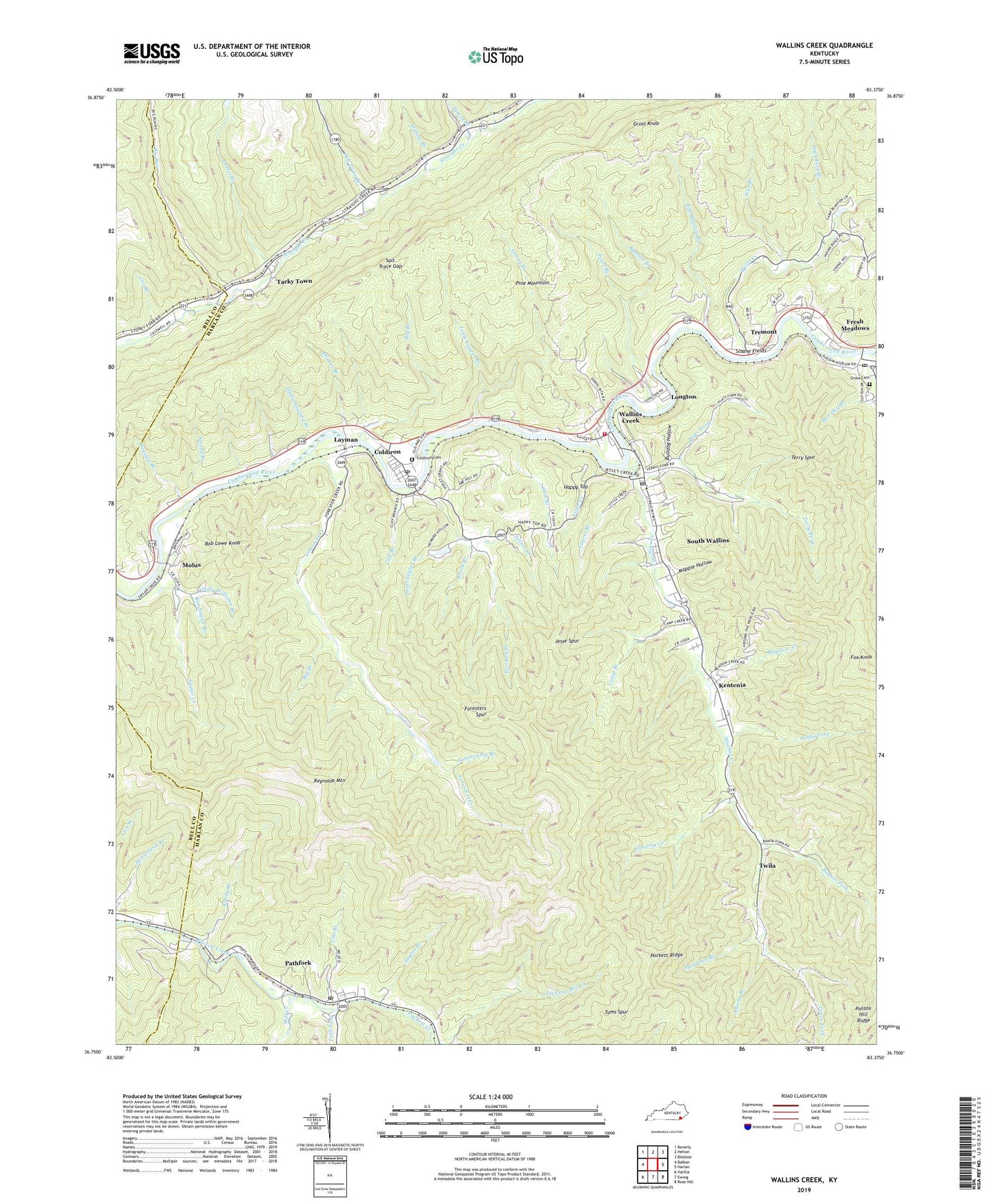
2022 topographic map quadrangle Wallins Creek in the state of Kentucky. Scale: 1:24000. Based on the newly updated USGS 7.5' US Topo map series, this map is in the following counties: Harlan, Bell. The map contains contour data, water features, and other items you are used to seeing on USGS maps, but also has updated roads and other features. This is the next generation of topographic maps. Printed on high-quality waterproof paper with UV fade-resistant inks.
Quads adjacent to this one:
West: Balkan
Northwest: Beverly
North: Helton
Northeast: Bledsoe
East: Harlan
Southeast: Rose Hill
South: Ewing
Southwest: Varilla
This map covers the same area as the classic USGS quad with code o36083g4.
Contains the following named places: Adams Branch, Ameron Railroad Station, Banner Fork, Banner Fork Coal Company, Ben Saylor Branch, Big Branch, Big Run, Blanton Branch, Bob Lowe Knob, Brock Branch, Bulldog Hollow, Callihan Railroad Station, Camp Branch, Cargo Post Office, City of Wallins Creek, Cliff Branch, Coldiron, Coldiron Cemetery, Coldiron Census Designated Place, Coldiron Post Office, Cox Branch, Creech, Day Post Office, Dayhoit Post Office, Drakes Branch, Elisha Howard Branch, Fee Railroad Station, Flat Branch, Foresters Creek, Foresters Spur, Fox Knob, Ginseng Creek, Grace Church, Gross Cemetery, Gross Knob, Gross Post Office, Happy Top, Hensley Branch, High Fork Branch, Hobbs Fork, Insull, Insull Post Office, Jackson Mill Creek, Jesse Spur, Jesses Creek, Jesses Creek Primative Baptist Church, Kentenia, Kentenia Post Office, Kentenia Railroad Station, Kerr Railroad Station, Laurel Branch, Layman, Layman Post Office, Layman Railroad Station, Lee Ann Branch, Lick Branch, Lisle Post Office, Lisle Railroad Station, Little Creek, Little Laurel Branch, Little Widow Branch, Longton, Low Railroad Station, Mapple Hollow, Meadow Creek, Mile Branch, Mill Creek, Molus, Molus Post Office, Molus Railroad Station, Munson Railroad Station, Oblo Railroad Station, Pass Post Office, Path Fork, Pathfork, Pathfork Census Designated Place, Pathfork Post Office, Pearl Branch, Pearl Saylor Branch, Pearson Railroad Station, Peters Branch, Pine Flat School, Plats Fork, Puckett Ridge, Reynolds Mountain, Rob Blanton Branch, Rocky Branch, Sally Williams Branch, Salt Trace Branch, Salt Trace Gap, Salts Post Office, Saylor Branch, Saylor Creek, School Number Four, Second Branch, Sloane Fields, South Wallins, South Wallins Census Designated Place, Sugarcamp Branch, Sycamore Branch, Tacky Town, Tausley Railroad Station, Terry Fork, Terry Spur, Tisdale Railroad Station, Toms Spur, Trace Fork, Tremont, Tremont Post Office, Tremont Railroad Station, Twila, Twila Post Office, Wallins Creek, Wallins Creek Census Designated Place, Wallins Creek Division, Wallins Creek Post Office, Wallins Railroad Station, Wallins Volunteer Fire Department, Watts Creek, Wax Branch, WHLN-AM (Harlan), Widow Branch, Wilhoit, Wilkes Railroad Station, ZIP Codes: 40819, 40824, 40873


