MyTopo
Bayou Lucien Louisiana US Topo Map
Couldn't load pickup availability
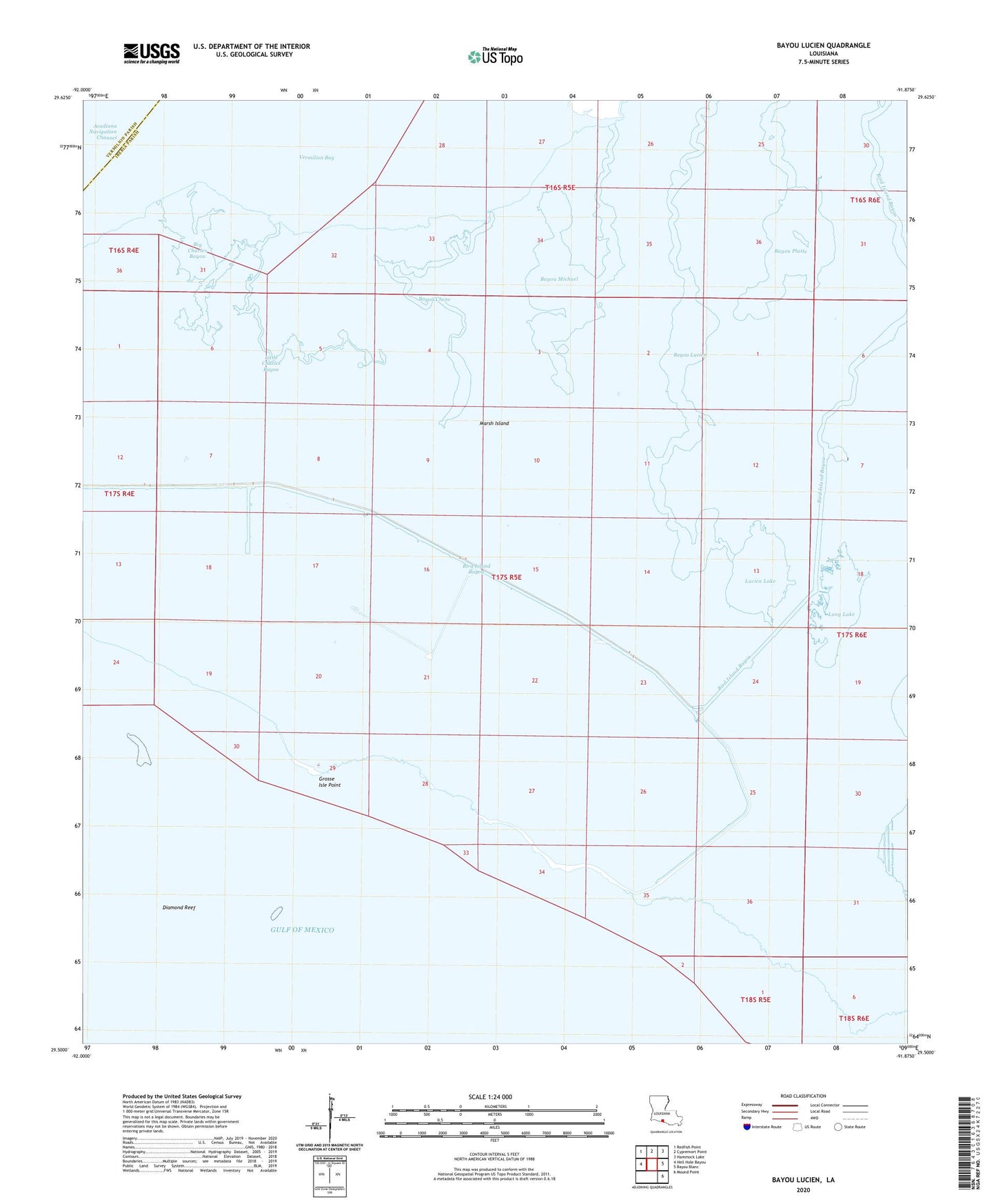
2025 topographic map quadrangle Bayou Lucien in the state of Louisiana. Scale: 1:24000. Based on the newly updated USGS 7.5' US Topo map series, this map is in the following counties: Iberia, Vermilion. The map contains contour data, water features, and other items you are used to seeing on USGS maps, but also has updated roads and other features. This is the next generation of topographic maps. Printed on high-quality waterproof paper with UV fade-resistant inks.
Quads adjacent to this one:
West: Hell Hole Bayou
Northwest: Redfish Point
North: Cypremort Point
Northeast: Hammock Lake
East: Bayou Blanc
Southeast: Mound Point
This map covers the same area as the classic USGS quad with code o29091e8.
Contains the following named places: Bayou Chene, Bayou Lucien, Bayou Michael, Bayou Platte, Big Charles Bayou, Bird Island Bayou, Diamond Reef, Grosse Isle Point, Lake Ferme Gas Field, Lake Jefferson, Little Charles Bayou, Long Lake, Lucien Lake