MyTopo
Mulberry Island East Louisiana US Topo Map
Couldn't load pickup availability
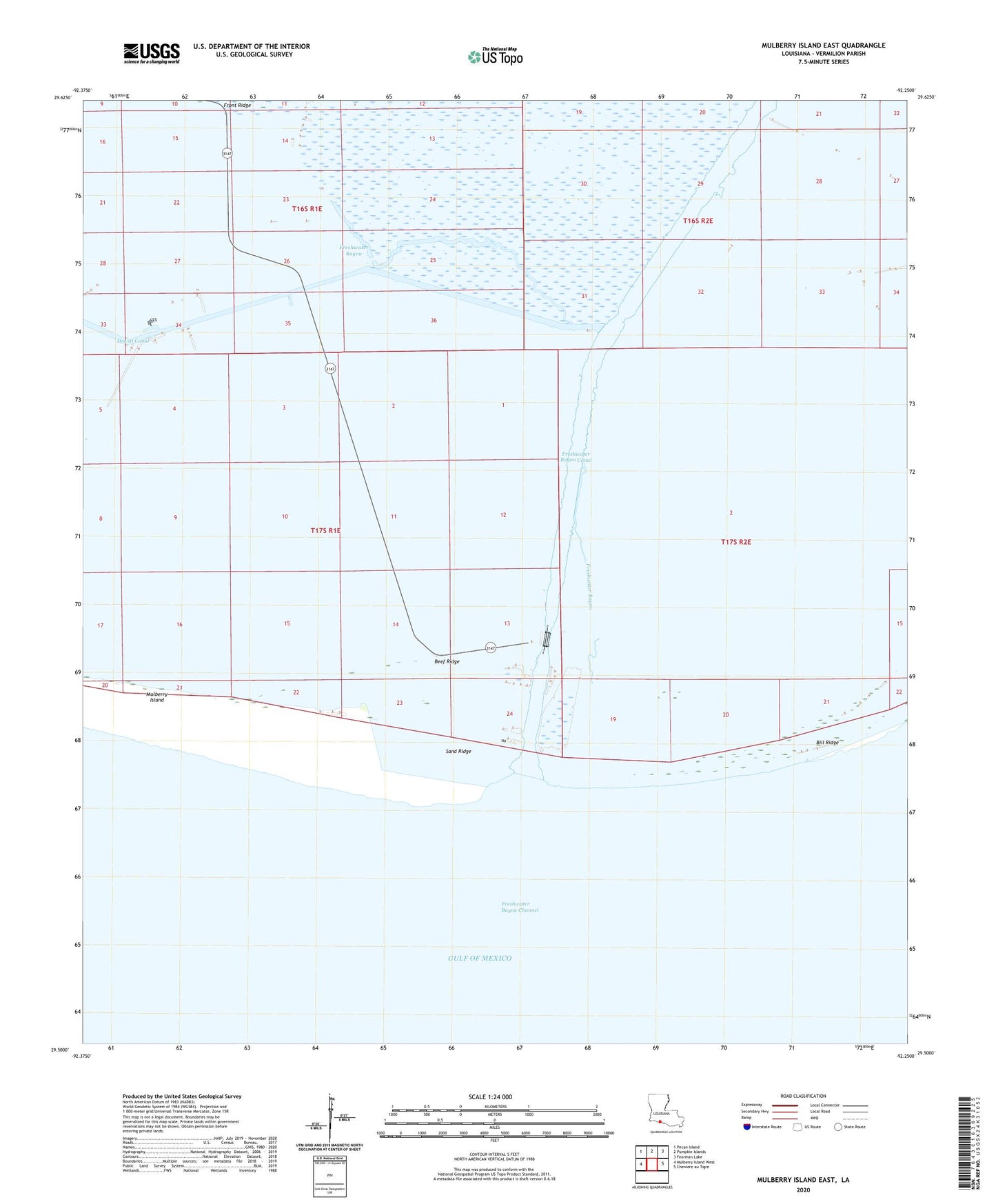
2020 topographic map quadrangle Mulberry Island East in the state of Louisiana. Scale: 1:24000. Based on the newly updated USGS 7.5' US Topo map series, this map is in the following counties: Vermilion. The map contains contour data, water features, and other items you are used to seeing on USGS maps, but also has updated roads and other features. This is the next generation of topographic maps. Printed on high-quality waterproof paper with UV fade-resistant inks.
Quads adjacent to this one:
West: Mulberry Island West
Northwest: Pecan Island
North: Pumpkin Islands
Northeast: Fearman Lake
East: Cheniere au Tigre
Contains the following named places: Beef Ridge, Cagc Freshwater Terminal Heliport, Dewitt Canal, Exchange Freshwater Bayou Heliport, Freshwater Bayou, Freshwater Bayou Channel, Freshwater Bayou Gas Field, Mulberry Island, Sand Ridge, South Fresh Water Bayou Heliport