MyTopo
Sondheimer Louisiana US Topo Map
Couldn't load pickup availability
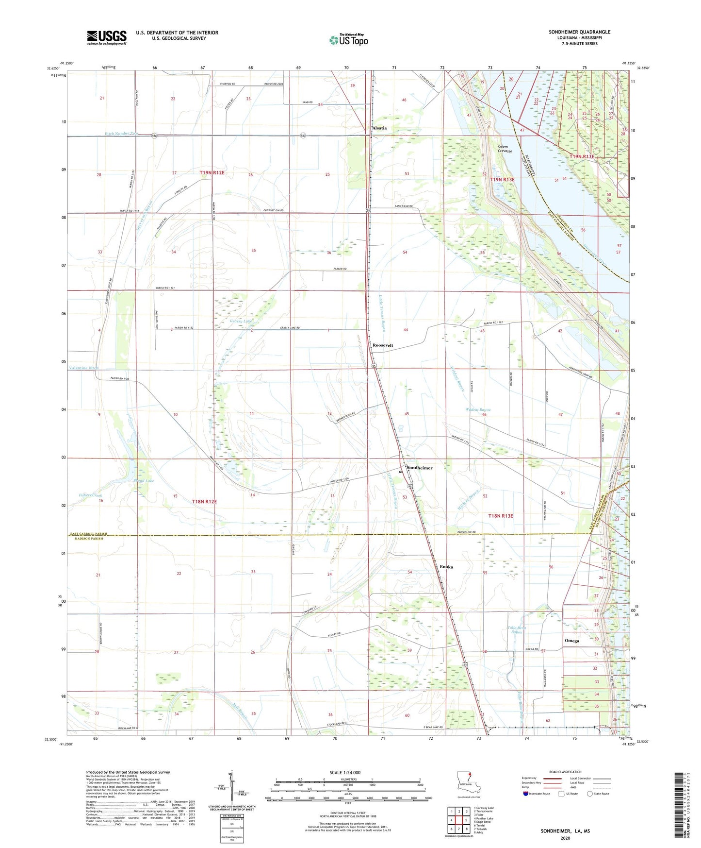
2020 topographic map quadrangle Sondheimer in the state of Louisiana. Scale: 1:24000. Based on the newly updated USGS 7.5' US Topo map series, this map is in the following counties: East Carroll, Madison, Issaquena. The map contains contour data, water features, and other items you are used to seeing on USGS maps, but also has updated roads and other features. This is the next generation of topographic maps. Printed on high-quality waterproof paper with UV fade-resistant inks.
Quads adjacent to this one:
West: Panther Lake
Northwest: Caraway Lake
North: Transylvania
Northeast: Fitler
East: Eagle Bend
Southeast: Ashly
South: Tallulah
Southwest: Tendal
Contains the following named places: Alsatia, Bomer, Broad Lake, Bull Bayou, Ditch Number Two, Dogtail Landing, Enoka, Fishers Creek, Goodrich Landing, Goodrich Plantation, Goodrich Revetment, Grassy Lake, Henderson School, King Solomon Church, Little Tensas Bayou, Mount Zion Church, New Bethlehem Church, New Home Church, New Zion Church, Omega, Omega Landing Strip, Parish Governing Authority District 1, Roosevelt, Saint James Church, Salem Crevasse, Seventh Star Church, Sondheimer, Sondheimer Post Office, Stamboul, Ward One, Wildcat Bayou, ZIP Code: 71276