MyTopo
Three Mile Bay Louisiana US Topo Map
Couldn't load pickup availability
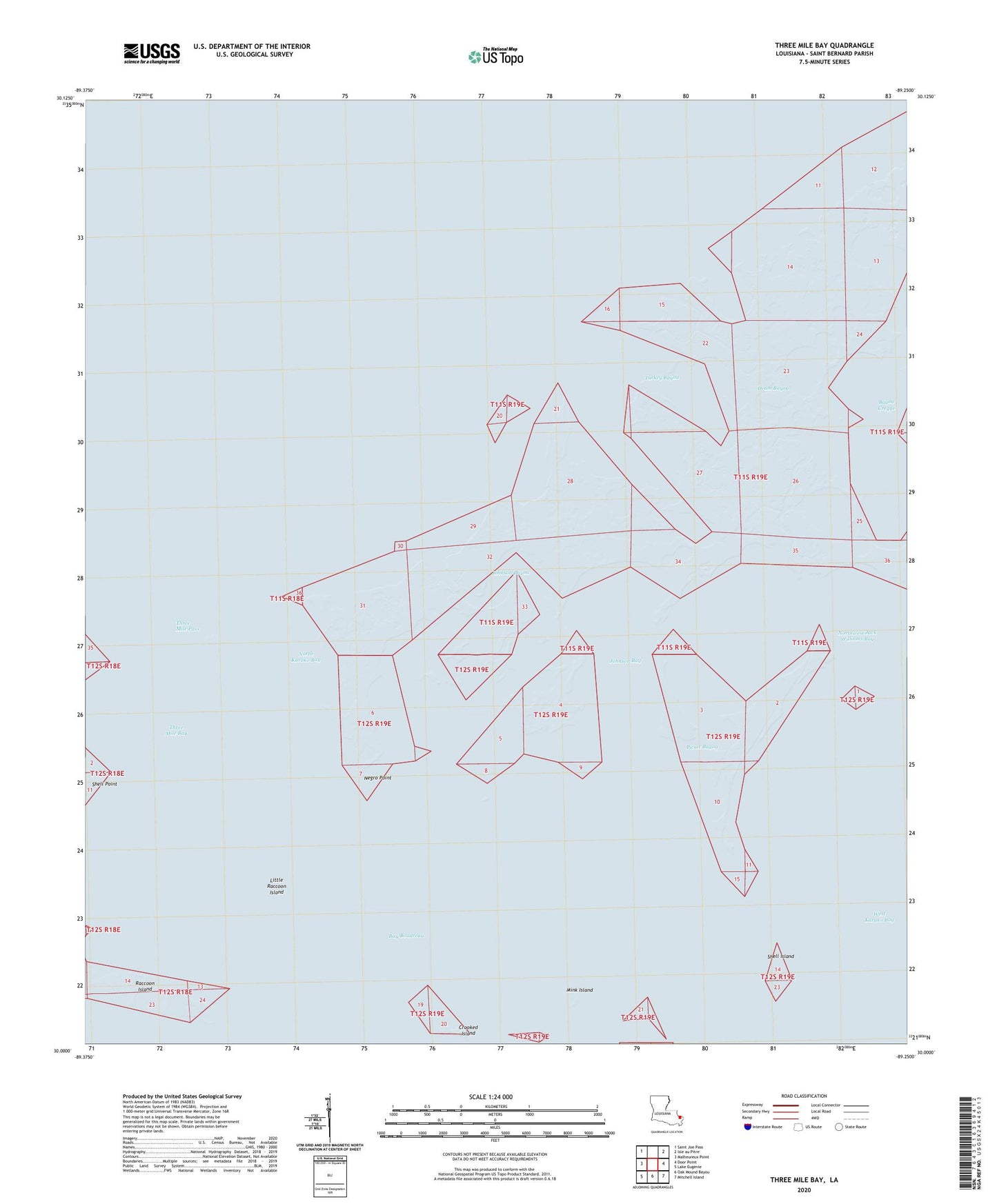
2020 topographic map quadrangle Three Mile Bay in the state of Louisiana. Scale: 1:24000. Based on the newly updated USGS 7.5' US Topo map series, this map is in the following counties: St. Bernard. The map contains contour data, water features, and other items you are used to seeing on USGS maps, but also has updated roads and other features. This is the next generation of topographic maps. Printed on high-quality waterproof paper with UV fade-resistant inks.
Quads adjacent to this one:
West: Malheureux Point
Northwest: Saint Joe Pass
Northeast: Isle au Pitre
East: Door Point
Southeast: Mitchell Island
South: Oak Mound Bayou
Southwest: Lake Eugenie
Contains the following named places: Bayou Creque, Crooked Island, Drum Bayou, Johnson Bay, Johnson Bayou, Little Raccoon Island, Mink Island, Negro Point, North Karako Bay, Northwest Jack Williams Bay, Picnic Bayou, Raccoon Island, Shell Island, Shell Point, Three Mile Bay, Three Mile Pass, Turkey Bayou, West Karako Bay