MyTopo
Oak Mound Bayou Louisiana US Topo Map
Couldn't load pickup availability
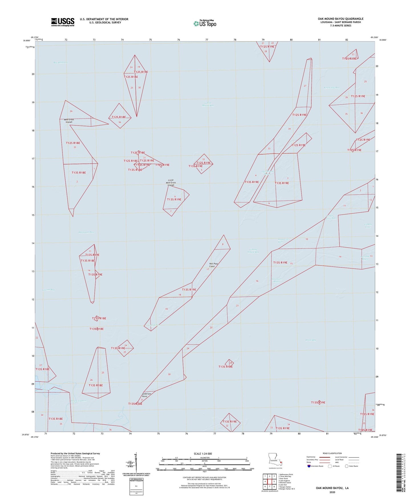
2024 topographic map quadrangle Oak Mound Bayou in the state of Louisiana. Scale: 1:24000. Based on the newly updated USGS 7.5' US Topo map series, this map is in the following counties: St. Bernard. The map contains contour data, water features, and other items you are used to seeing on USGS maps, but also has updated roads and other features. This is the next generation of topographic maps. Printed on high-quality waterproof paper with UV fade-resistant inks.
Quads adjacent to this one:
West: Lake Eugenie
Northwest: Malheureux Point
North: Three Mile Bay
Northeast: Door Point
East: Mitchell Island
Southeast: Morgan Harbor OE E
South: Morgan Harbor
Southwest: Lake Eloi
This map covers the same area as the classic USGS quad with code o29089h3.
Contains the following named places: Anderson Point, Bay Boudreau, Bayou De Soto, Bayou Tobacco, Catfish Pass, Conkey Cove, Conkey Cove Pass, Deadmans Bayou, Drum Bay, Dutchman Pass, Fishing Smack Bay, Hell Pass Coast, Indian Mound Bay, Kerchimbo Bay, Lawson Bay, Little Mud Grass Islands, Live Oak Bayou, Mud Grass Islands, Oak Mound Bayou, Parish Governing Authority District E, Saint Bernard Parish, Shell Island Lake, Southwest Pass