MyTopo
Bar Mills Maine US Topo Map
Couldn't load pickup availability
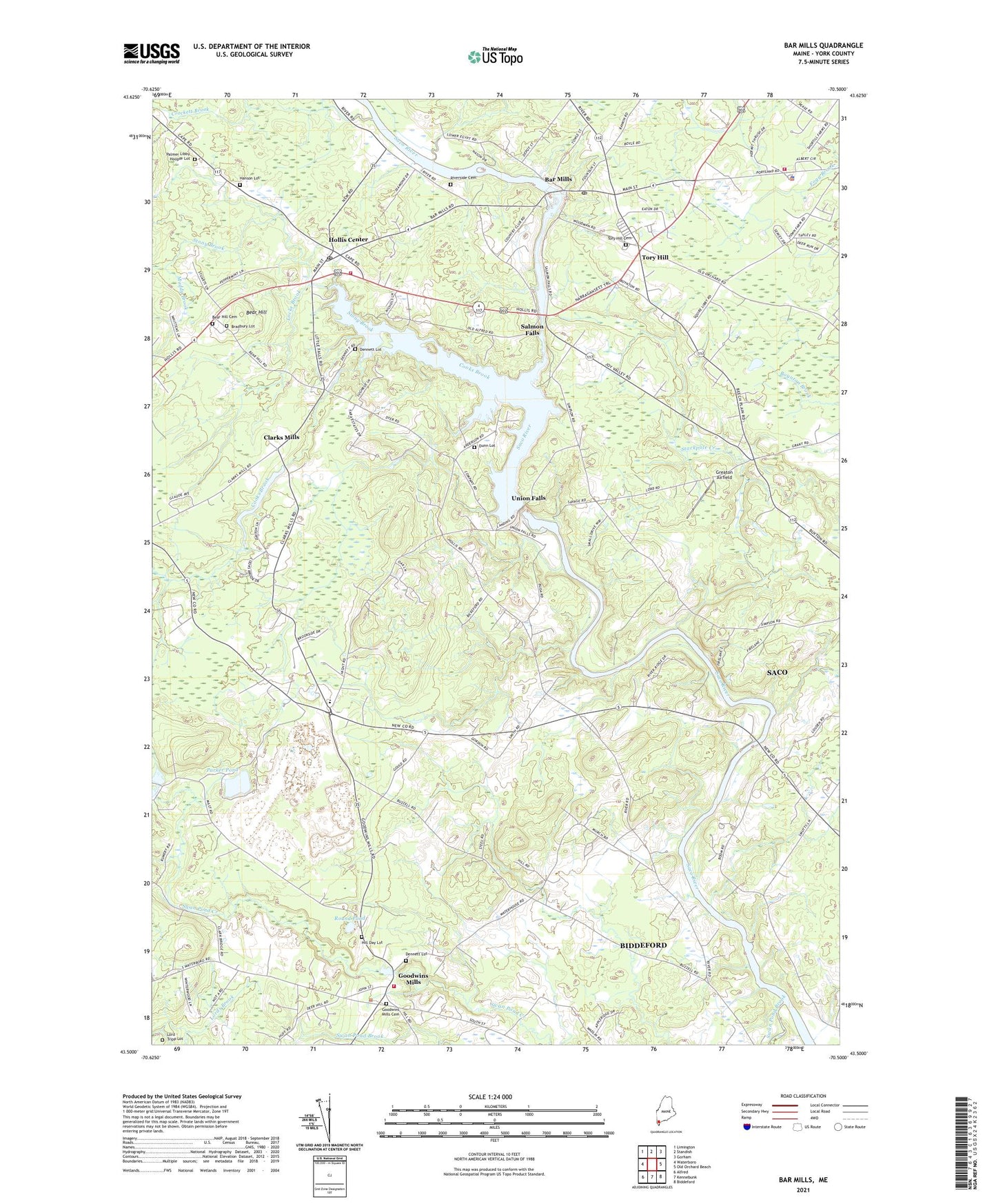
2021 topographic map quadrangle Bar Mills in the state of Maine. Scale: 1:24000. Based on the newly updated USGS 7.5' US Topo map series, this map is in the following counties: York. The map contains contour data, water features, and other items you are used to seeing on USGS maps, but also has updated roads and other features. This is the next generation of topographic maps. Printed on high-quality waterproof paper with UV fade-resistant inks.
Quads adjacent to this one:
West: Waterboro
Northwest: Limington
North: Standish
Northeast: Gorham
East: Old Orchard Beach
Southeast: Biddeford
South: Kennebunk
Southwest: Alfred
Contains the following named places: Bar Mills, Bar Mills Dam, Bar Mills Post Office, Bear Hill, Bear Hill Cemetery, Bear Hill Church, Berry Memorial Library, Bradbury Lot, Briarwood Childrens House School, Buxton Fire - Rescue Department Station 2, Buxton Police Department, Clarks Mills, Community Library, Cooks Brook, Cooks Brook Dam, Crockett Brook, Dayton Consolidated School, Dennett Lot, Drug Rehabilitation Incorporated Day One Residence, Dunn Lot, Eliza Libby Elementary School, Emory Corner, First Congregational Church, Goodwins Mills, Goodwins Mills Cemetery, Goodwins Mills Dam, Goodwins Mills Fire Rescue Department, Greaton Airfield, Hanson Lot, Hill Day Lot, Hollis Center, Hollis Center Baptist Church, Hollis Center Post Office, Hollis Center Public Library, Hollis Fire Department and Rescue Station 1, Homestead Campground, Locke Brook, Lord - Tripp Lot, Muddy Brook, Palmer Libby Hooper Lot, Parker Pond, Riverside Cemetery, Roberts Corner, Roberts-Wadley Pond, Roberts-Wadley Pond Dam, Round Pond, Saco River Reservoir, Salmon Falls, Salmon Falls East Historic District, Salmon Falls Library, Salmon Falls Resort Golf Course, Salmon Falls West Historic District, Skelton Dam, Stackpole Creek, Stony Brook, Swan Pond Brook, Swan Pond Creek, Tory Hill, Tory Hill Cemetery, Town of Dayton, Union Falls, Wadley Pond, WPEI-FM (Saco)