MyTopo
Big Spencer Mountain Maine US Topo Map
Couldn't load pickup availability
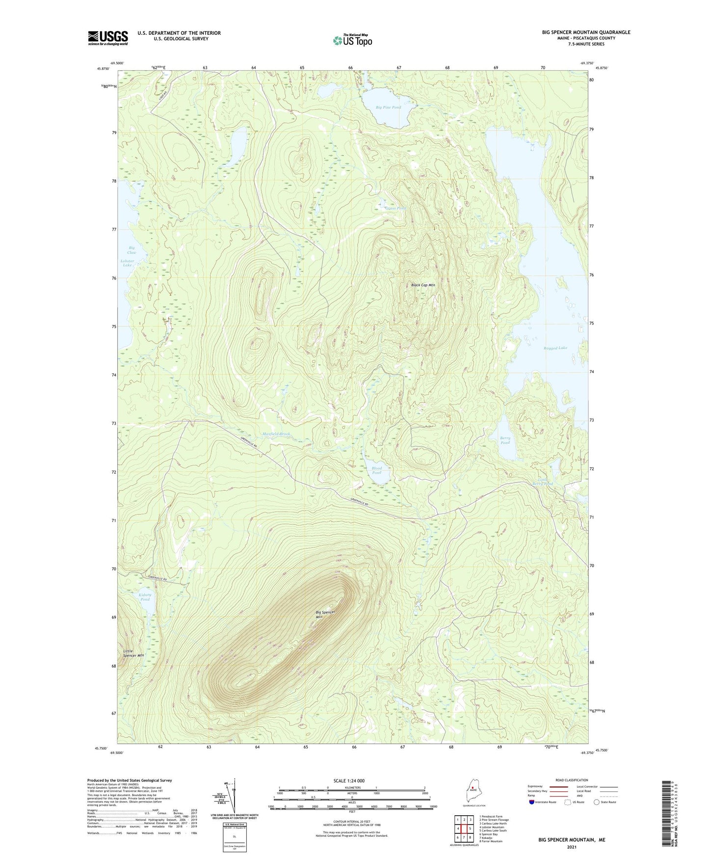
2021 topographic map quadrangle Big Spencer Mountain in the state of Maine. Scale: 1:24000. Based on the newly updated USGS 7.5' US Topo map series, this map is in the following counties: Piscataquis. The map contains contour data, water features, and other items you are used to seeing on USGS maps, but also has updated roads and other features. This is the next generation of topographic maps. Printed on high-quality waterproof paper with UV fade-resistant inks.
Quads adjacent to this one:
West: Lobster Mountain
Northwest: Penobscot Farm
North: Pine Stream Flowage
Northeast: Caribou Lake North
East: Caribou Lake South
Southeast: Farrar Mountain
South: Kokadjo
Southwest: Spencer Bay
Contains the following named places: Berry Pond, Big Pine Pond, Big Spencer Mountain, Big Spencer Mountain Trail, Black Cap Mountain, Blood Pond, Cranberry Pond, Grass Pond, Kidney Pond, Little Berry Pond, Ragged Lake, T2 R13 WELS, TX R14 WELS