MyTopo
Corinna Maine US Topo Map
Couldn't load pickup availability
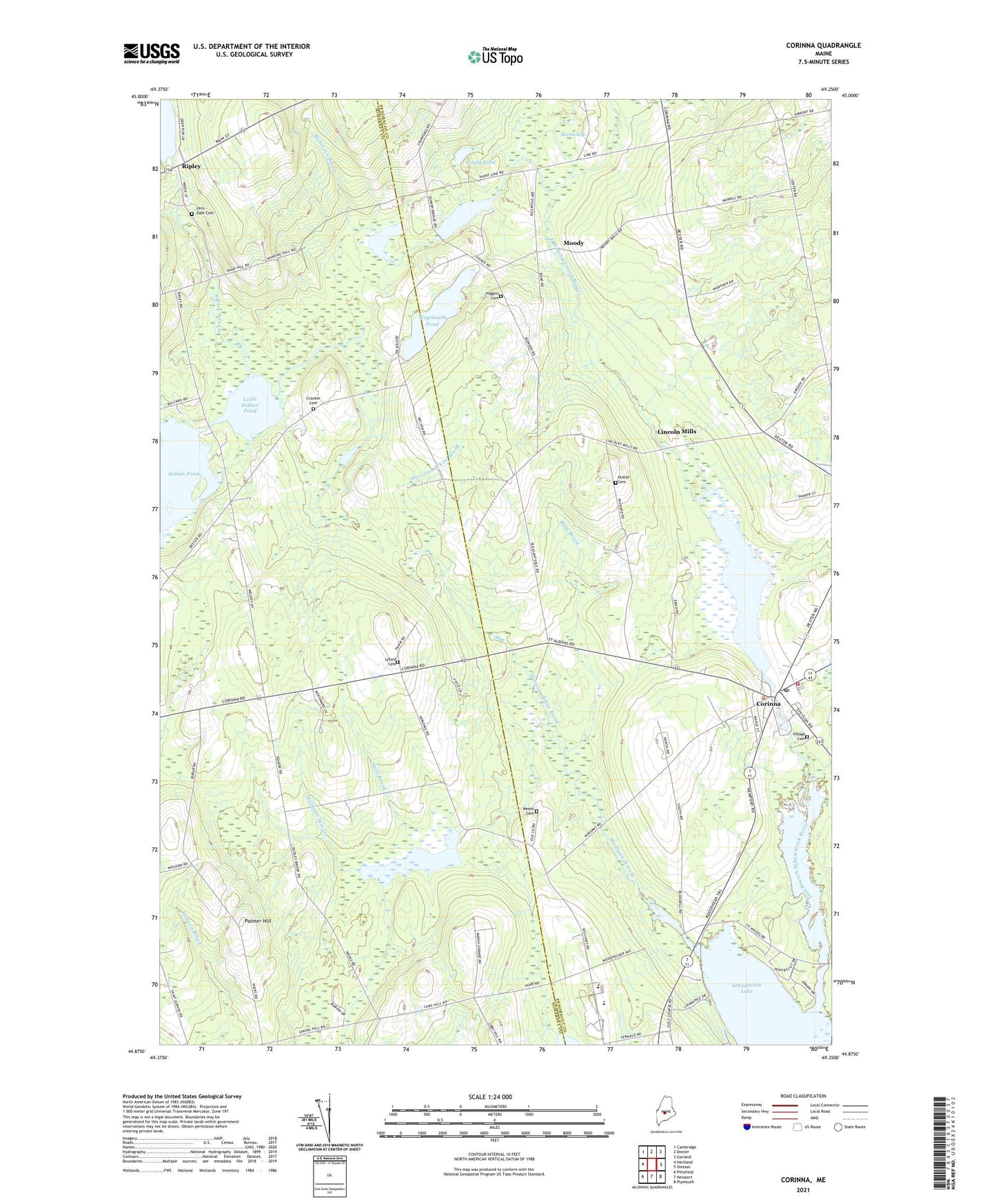
2021 topographic map quadrangle Corinna in the state of Maine. Scale: 1:24000. Based on the newly updated USGS 7.5' US Topo map series, this map is in the following counties: Somerset, Penobscot. The map contains contour data, water features, and other items you are used to seeing on USGS maps, but also has updated roads and other features. This is the next generation of topographic maps. Printed on high-quality waterproof paper with UV fade-resistant inks.
Quads adjacent to this one:
West: Hartland
Northwest: Cambridge
North: Dexter
Northeast: Garland
East: Stetson
Southeast: Plymouth
South: Newport
Southwest: Pittsfield
Contains the following named places: Addition Brook, Alder Stream, Bog Brook, Corinna, Corinna Census Designated Place, Corinna Elementary School, Corinna Junior High School, Corinna Post Office, Corinna Volunteer Fire Department, Crocker Cemetery, Dixie Corner, Dow Corner, East Branch Sebasticook River Reservoir, Ellis Corner, Fern - Dale Cemetery, Gould Pond, Halfmoon Pond, Harrison White Brook, Johnson Corner, Katen Corner, Knox Hill Corner, Lincoln Mills, Little Indian Pond, Lower Dam, Lyford Cemetery, Lyford Corner, Marsh Corner, Martin Bog, Middle Dam, Miller Corner, Mills School, Moody, Mower Pond, Mulligan Stream, Mulligan Stream Dam, Nokomis Regional High School, Nutter Cemetery, Nutter Corner, Palmer Hill, Pleasant Vale Corner, Ring Brook, Ripley, Ripley Pond Dam, Ripley Stream, Robinson Brook, Saint Albans Game Management Area, Sanborn Corner, Sebasticook Valley Elementary School, Snell Brook, Stewart Free Library, Town of Corinna, United Methodist Church, Upper Dam, Village Cemetery, Weeks Cemetery, Weymouth Pond, Weymouth Pond Dam, ZIP Code: 04928