MyTopo
Hardwood Mountain SE Maine US Topo Map
Couldn't load pickup availability
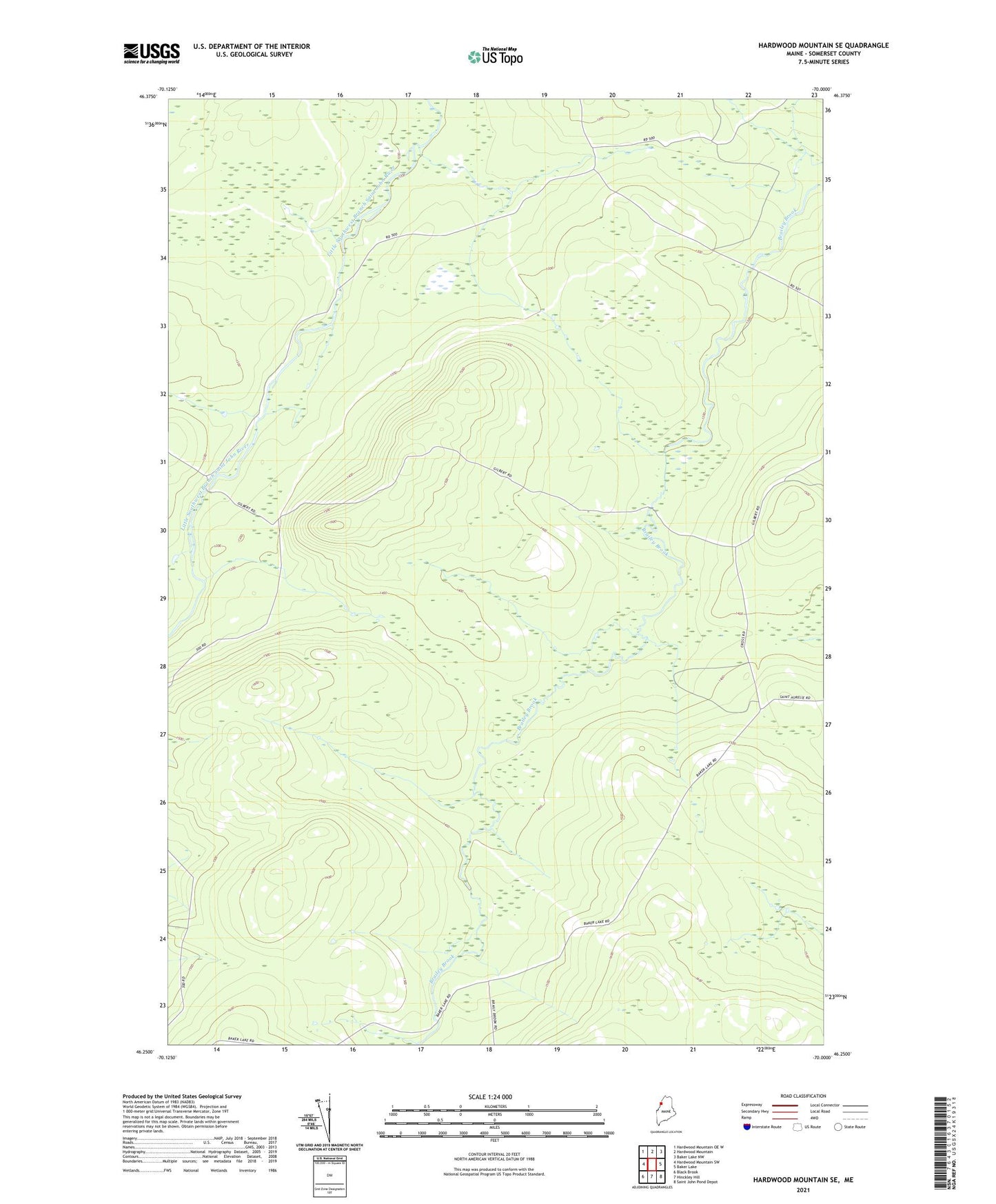
2024 topographic map quadrangle Hardwood Mountain SE in the state of Maine. Scale: 1:24000. Based on the newly updated USGS 7.5' US Topo map series, this map is in the following counties: Somerset. The map contains contour data, water features, and other items you are used to seeing on USGS maps, but also has updated roads and other features. This is the next generation of topographic maps. Printed on high-quality waterproof paper with UV fade-resistant inks.
Quads adjacent to this one:
West: Hardwood Mountain SW
Northwest: Hardwood Mountain OE W
North: Hardwood Mountain
Northeast: Baker Lake NW
East: Baker Lake
Southeast: Saint John Pond Depot
South: Hinckley Hill
Southwest: Black Brook
This map covers the same area as the classic USGS quad with code o46070c1.
Contains the following named places: Billy-Jack Depot, T7 R18 WELS, T8 R18 WELS