MyTopo
Houlton Pond Maine US Topo Map
Couldn't load pickup availability
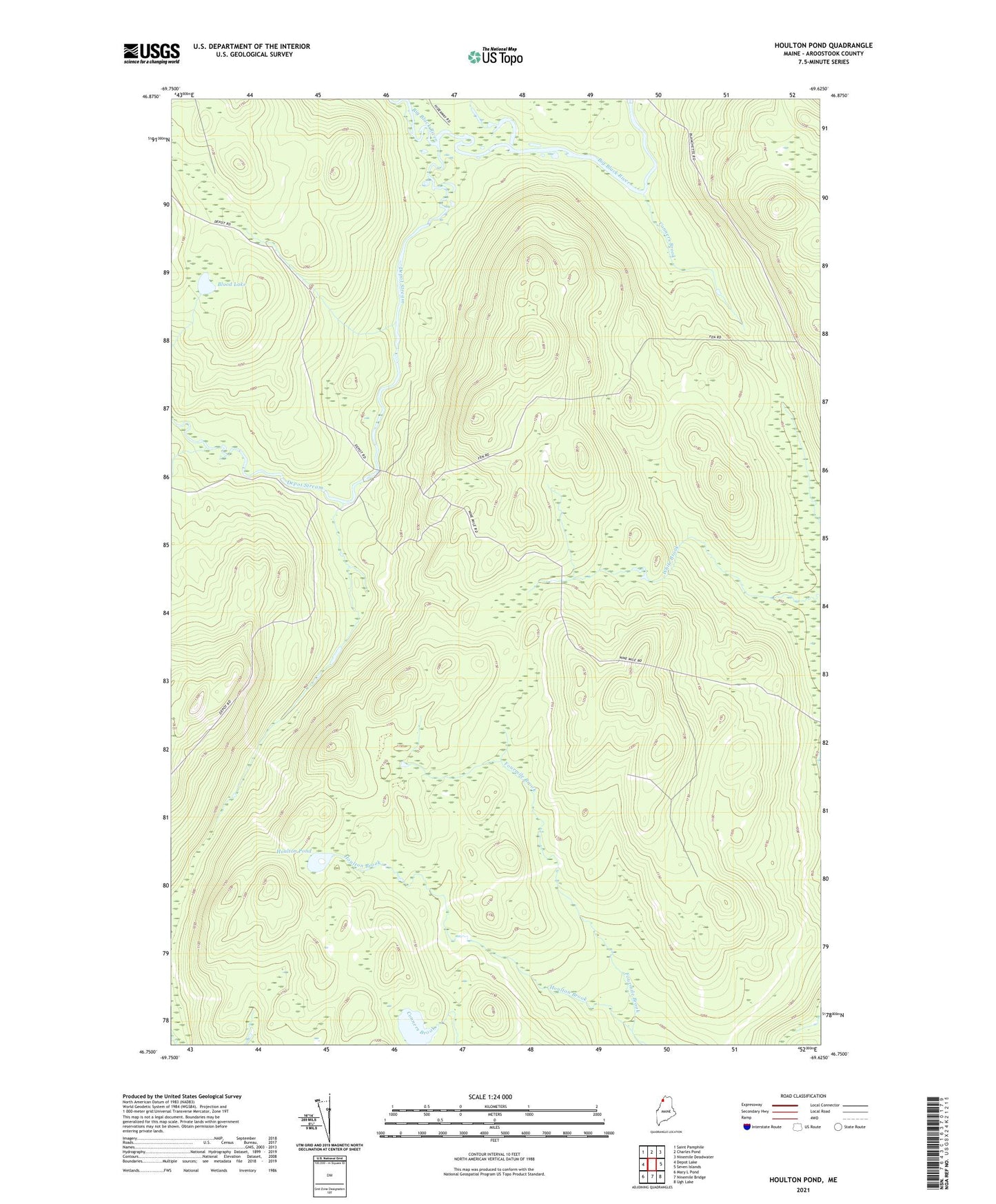
2024 topographic map quadrangle Houlton Pond in the state of Maine. Scale: 1:24000. Based on the newly updated USGS 7.5' US Topo map series, this map is in the following counties: Aroostook. The map contains contour data, water features, and other items you are used to seeing on USGS maps, but also has updated roads and other features. This is the next generation of topographic maps. Printed on high-quality waterproof paper with UV fade-resistant inks.
Quads adjacent to this one:
West: Depot Lake
Northwest: Saint Pamphile
North: Charles Pond
Northeast: Ninemile Deadwater
East: Seven Islands
Southeast: Ugh Lake
South: Ninemile Bridge
Southwest: Mary L Pond
This map covers the same area as the classic USGS quad with code o46069g6.
Contains the following named places: Blood Lake, Conners Brook, Depot Stream, Fourmile Brook, Houlton Pond, T13 R15 WELS