MyTopo
Isles of Shoals Maine US Topo Map
Couldn't load pickup availability
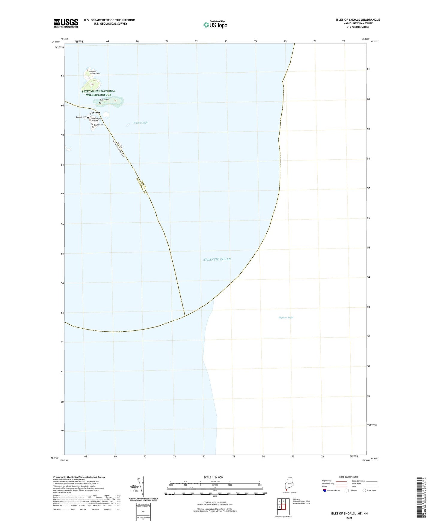
2024 topographic map quadrangle Isles of Shoals in the states of Maine, New Hampshire. Scale: 1:24000. Based on the newly updated USGS 7.5' US Topo map series, this map is in the following counties: York, Rockingham. The map contains contour data, water features, and other items you are used to seeing on USGS maps, but also has updated roads and other features. This is the next generation of topographic maps. Printed on high-quality waterproof paper with UV fade-resistant inks.
Quads adjacent to this one:
West: Isles of Shoals OE W
Northwest: Kittery
North: Isles of Shoals OE N
Contains the following named places: Anderson Ledge, Appledore Island, Beebe Cemetery, Captain John Smith Monument, Caswell Cemetery, Cedar Island, Cedar Island Ledge, Gosport, Gosport Chapel, Gosport Harbor, Haley Cemetery, Haley Cove, Haley House, Halftide Ledges, Halfway Rocks, Isle of Shoals Lighthouse, Isles of Shoals, Laighton Thaxter Cemetery, Malaga Island, Old Burying Ground, Old Henry, Smuttynose Island, Star Island, Tucke Monument