MyTopo
Rainbow Lake East Maine US Topo Map
Couldn't load pickup availability
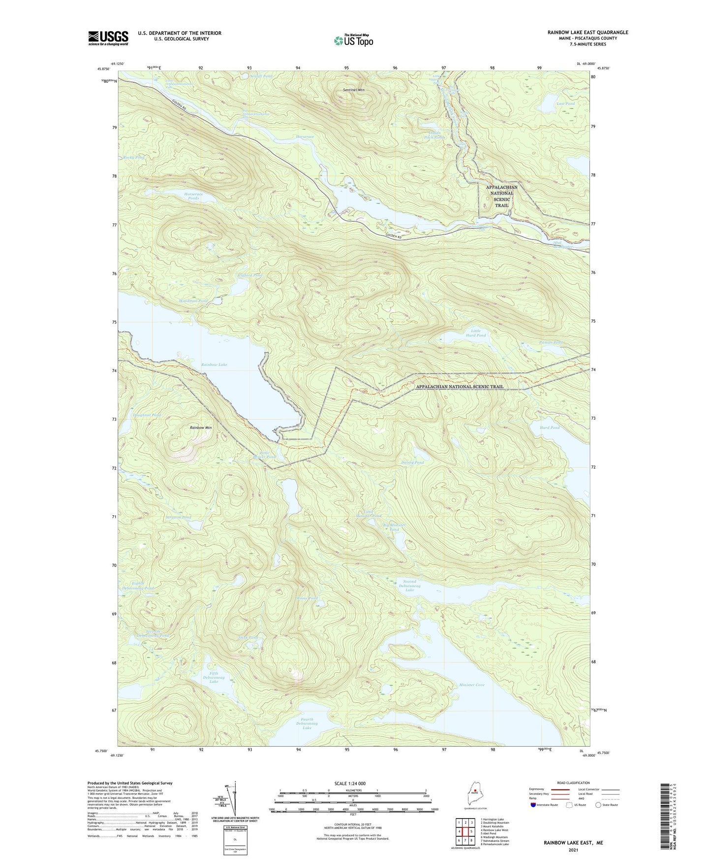
2021 topographic map quadrangle Rainbow Lake East in the state of Maine. Scale: 1:24000. Based on the newly updated USGS 7.5' US Topo map series, this map is in the following counties: Piscataquis. The map contains contour data, water features, and other items you are used to seeing on USGS maps, but also has updated roads and other features. This is the next generation of topographic maps. Printed on high-quality waterproof paper with UV fade-resistant inks.
Quads adjacent to this one:
West: Rainbow Lake West
Northwest: Harrington Lake
North: Doubletop Mountain
Northeast: Mount Katahdin
East: Abol Pond
Southeast: Pemadumcook Lake
South: Nahmakanta Stream
Southwest: Wadleigh Mountain
Contains the following named places: Big Ambejackmockamus Falls, Big Beaver Pond, Big Minister Pond, Big Niagara Falls, Blue Trail, Clifford Pond, Daisey Pond, Doughnut Pond, Fifth Debsconeag Lake, Foss and Knowlton Pond, Fourth Debsconeag Lake, Horserace, Horserace Brook, Horserace Ponds, Indian Pitch, Indian Pitch Ponds, Little Ambejackmockamus Falls, Little Beaver Pond, Little Hurd Pond, Little Minister Pond, Little Niagara Falls, Lost Pond, Minister Cove, Moose Pond, Nesowadnehunk Deadwater, Nesowadnehunk Falls, Nesowadnehunk Stream, Pitman Pond, Rainbow Lake, Rainbow Mountain, Second Debsconeag Lake, Sentinel Mountain, Seventh Debsconeag Pond, Sewall Pond, Sixth Debsconeag Pond, Stink Pond, Stratton Pond, T2 R10 WELS, Third Debsconeag Lake, Third Debsconeag Lake Dam, Toll Dam, Trail Brook, Windy Pitch, Woodman Pond