MyTopo
Redington Maine US Topo Map
Couldn't load pickup availability
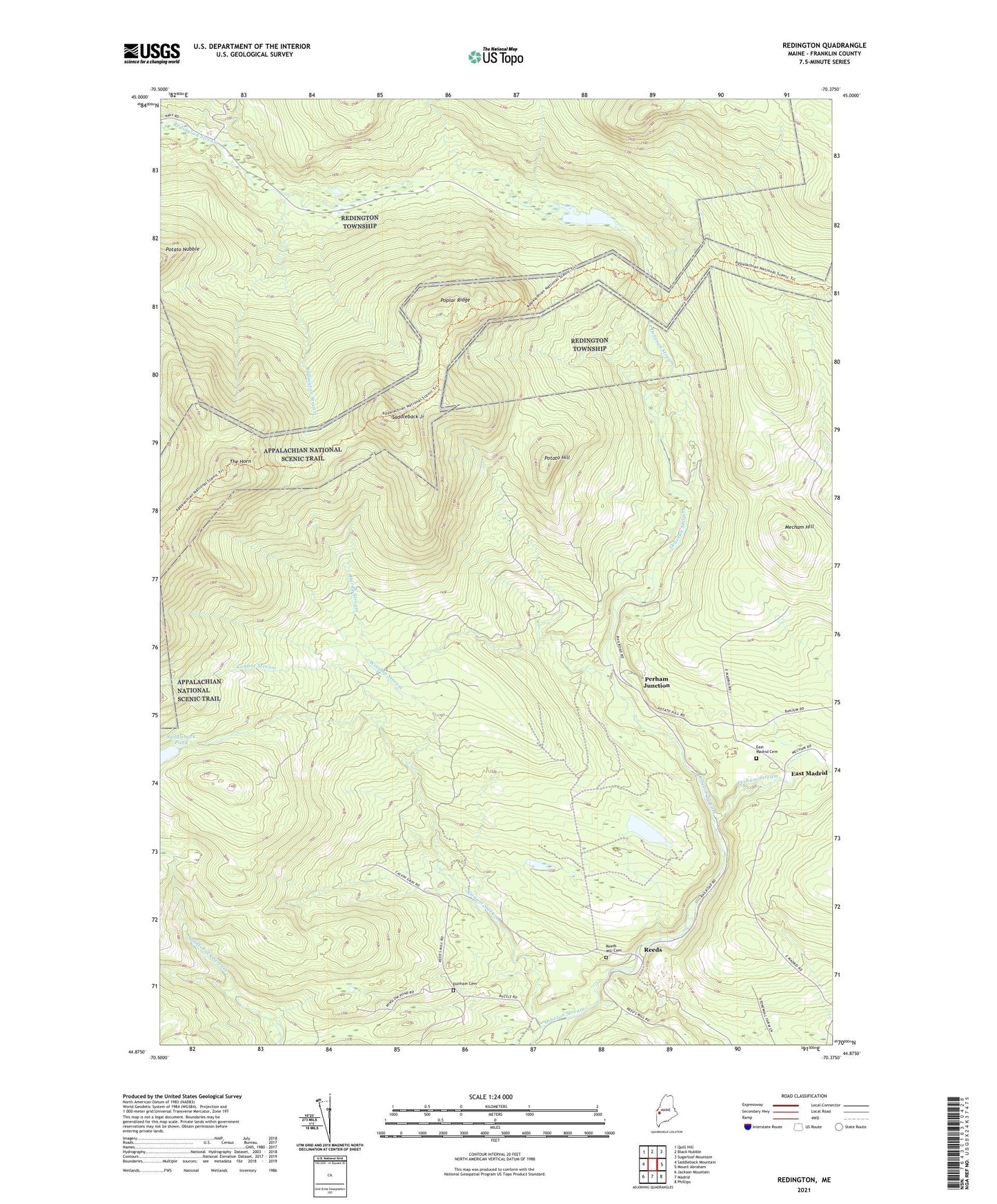
2021 topographic map quadrangle Redington in the state of Maine. Scale: 1:24000. Based on the newly updated USGS 7.5' US Topo map series, this map is in the following counties: Franklin. The map contains contour data, water features, and other items you are used to seeing on USGS maps, but also has updated roads and other features. This is the next generation of topographic maps. Printed on high-quality waterproof paper with UV fade-resistant inks.
Quads adjacent to this one:
West: Saddleback Mountain
Northwest: Quill Hill
North: Black Nubble
Northeast: Sugarloaf Mountain
East: Mount Abraham
Southeast: Phillips
South: Madrid
Southwest: Jackson Mountain
Contains the following named places: Beal Pond, Conant Stream, Dunham Cemetery, East Madrid, East Madrid Cemetery, East Madrid School, Franklin County, Hardy Stream, Mecham Hill, Perham Junction, Perham Stream, Poplar Ridge, Potato Hill, Ralph Odom Training Facility, Redington, Redington Pond, Reeds, Reeds Mill Cemetery, Saddleback Junior, Saddleback Pond, Stower School, The Horn, Town of Madrid, Winship Stream, Winslow Pond