MyTopo
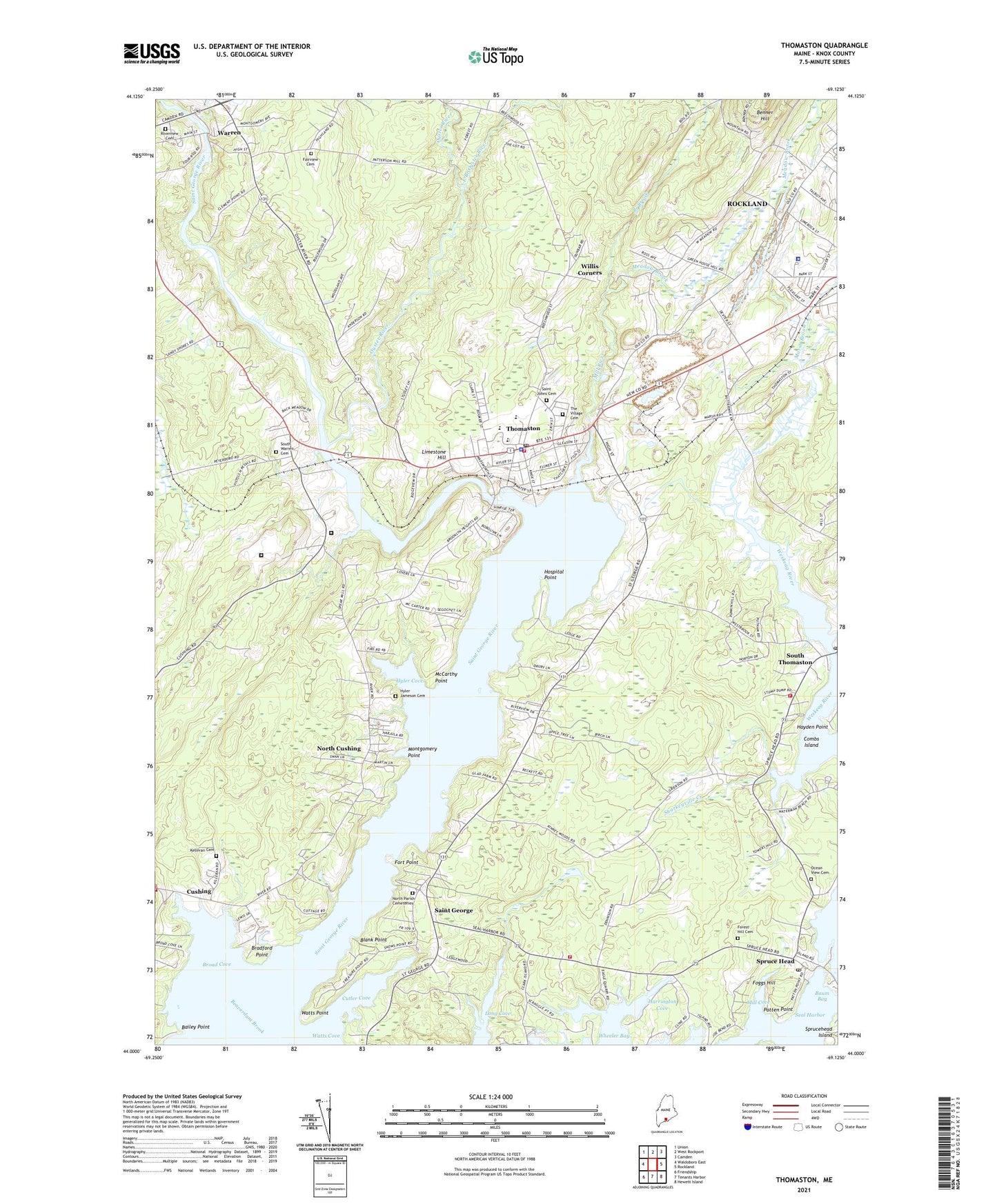
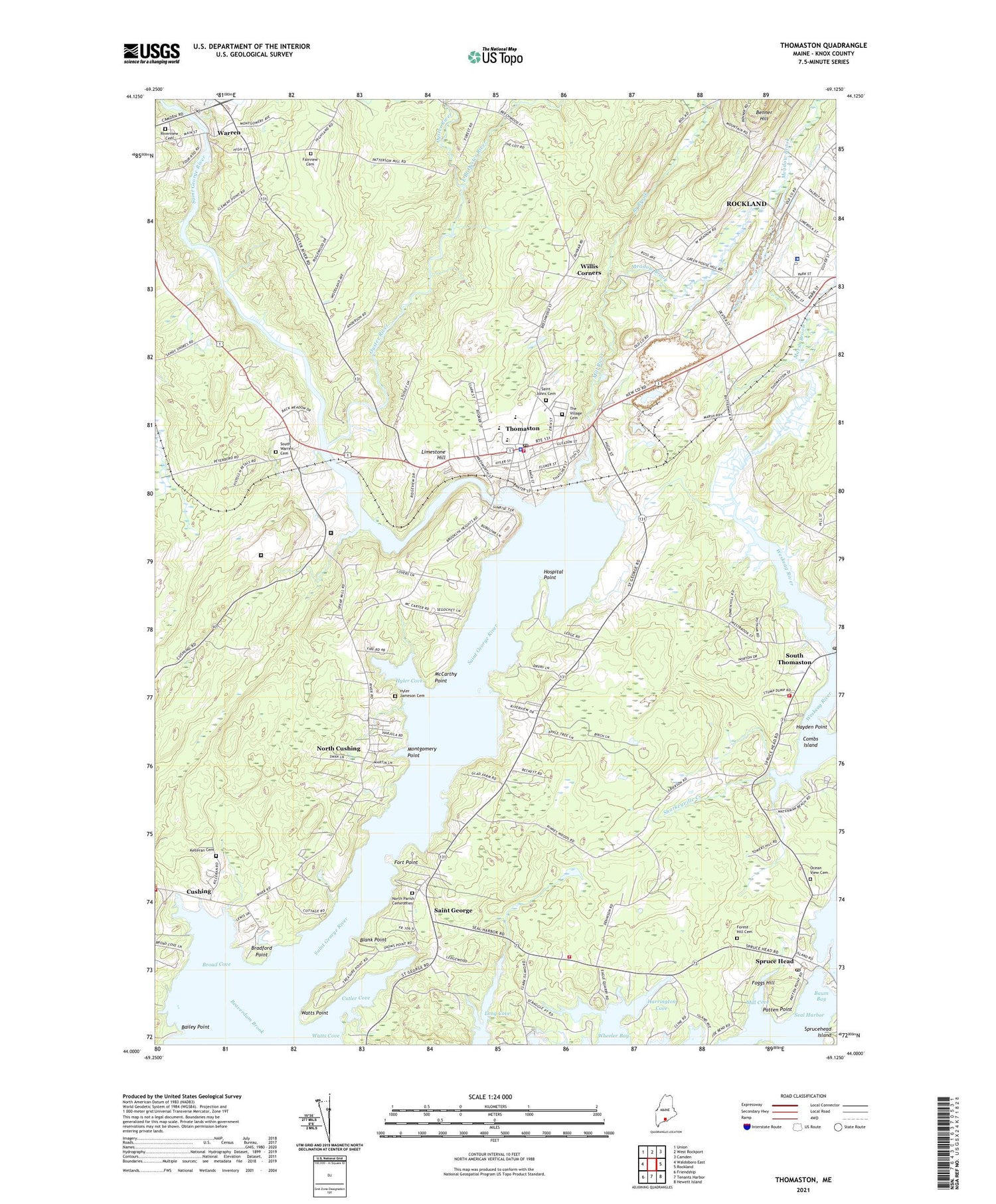
Thomaston Maine US Topo Map
Couldn't load pickup availability
2021 topographic map quadrangle Thomaston in the state of Maine. Scale: 1:24000. Based on the newly updated USGS 7.5' US Topo map series, this map is in the following counties: Knox. The map contains contour data, water features, and other items you are used to seeing on USGS maps, but also has updated roads and other features. This is the next generation of topographic maps. Printed on high-quality waterproof paper with UV fade-resistant inks.
Quads adjacent to this one:
West: Waldoboro East
Northwest: Union
North: West Rockport
Northeast: Camden
East: Rockland
Southeast: Hewett Island
South: Tenants Harbor
Southwest: Friendship
Contains the following named places: Apostolic Christian Life Church, Assembly of God Church, Bailey Point, Baum Bay, Beaverdam Brook, Blank Point, Bolduc Correctional Facility, Bradford Point, Branch Brook, Broad Cove, Combs Island, Cushing, Cushing Public Library, Cushing Volunteer Fire Station, Cutler Cove, East Branch Oyster River, Fairview Cemetery, Federated Church in Thomaston, Foggs Hill, Forest Hill Cemetery, Fort Point, Fort Saint George, Gilford Butler School, Grace Bible Fellowship Building, Harmony Bible Baptist Church, Harrington Cove, Hayden Point, Hospital Point, Hyler Cove, Hyler Jameson Cemetery, Kelleran Cemetery, Knox Building, Knox County Jail, Knox County Sheriff's Office, Limestone Hill, Lura Libby School, Maine State Prison, Maine State Prison Library, Maine Watercraft Museum, Marsh Brook, McCarthy Point, Meadow Brook, Mill Cove, Mill River, Montgomery Point, Montpelier, North Cushing, North Parish Cemeteries, Ocean View Cemetery, Oceanside Middle School, Oyster River, Patten Point, Peoples United Methodist Church, Riverview Cemetery, Saint George, Saint George Volunteer Fire Station, Saint James Catholic Church, Saint John the Baptist Episcopal Church, Saint Johns Cemetery, Saltwater Farm Campground, Second Congregational Church, Sharkeyville Creek, South Thomaston, South Thomaston Ambulance Service, South Thomaston Post Office, South Thomaston Volunteer Fire Department, South Warren, South Warren Cemetery, Spruce Head, Spruce Head Post Office, The Village Cemetery, Thomaston, Thomaston Ambulance Service, Thomaston Athletic Field, Thomaston Baptist Church, Thomaston Census Designated Place, Thomaston Fire Station, Thomaston Grammar School, Thomaston Historic District, Thomaston Police Department, Thomaston Post Office, Thomaston Public Library, Town of South Thomaston, Town of Thomaston, Warren, Warren Baptist Church, Warren Free Public Library, Watts Point, WBQX-FM(Thomaston), Willis Corners, ZIP Codes: 04858, 04861