MyTopo
Big Pool Maryland US Topo Map
Couldn't load pickup availability
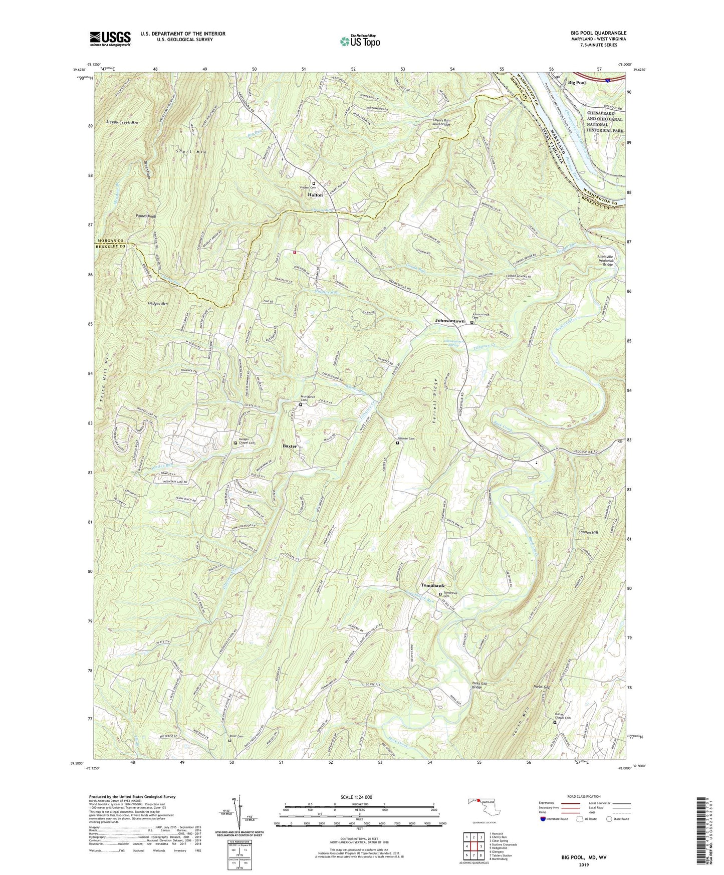
2023 topographic map quadrangle Big Pool in the states of West Virginia, Maryland. Scale: 1:24000. Based on the newly updated USGS 7.5' US Topo map series, this map is in the following counties: Washington, Berkeley, Morgan. The map contains contour data, water features, and other items you are used to seeing on USGS maps, but also has updated roads and other features. This is the next generation of topographic maps. Printed on high-quality waterproof paper with UV fade-resistant inks.
Quads adjacent to this one:
West: Stotlers Crossroads
North: Cherry Run
Northeast: Clear Spring
East: Hedgesville
Southeast: Martinsburg
South: Tablers Station
Southwest: Glengary
Contains the following named places: Allensville Memorial Bridge, Baxter, Big Pool, Big Pool Post Office, Boyd Rooney Farm Spring, Brunswick Volunteer Ambulance Company Number 19, Butler Chapel Cemetery, Butlers Chapel, Camp Frame, Cannon Hill, Cherry Run, Cherry Run Road Bridge, Devils Nose, Elk Branch, Ferrell Ridge, Fort Frederick, Fort Frederick State Park, Gough Run, Hedges Chapel, Hedges Chapel Methodist Cemetery, Hedges Mountain, Hedgesville Church, Hedgesville Fire Department Substation, Hedgesville Post Office, Higgins Run, Holton, Johnsontown, Johnsontown Brethren Church, Johnsontown Church of the Brethren Cemetery, Johnsontown Spring, Johnsontown United Brethren Bible Church, Locust Grove School, Mingo School, Paines Knob, Parks Gap, Parks Gap Bridge, Pittman Cemetery, Pleasant View Elementary School, Providence Cemetery, Providence Church, Riner Cemetery, Runners Ferry, Short Mountain, Sleepy Hollow Lake Dam, Snyders, Snyders Cemetery, Snyders Church, The Woods Resort Golf Course Mountain View Course, The Woods Resort Golf Course Stony Lick Course, Tilhance Creek, Tomahawk, Tomahawk Cemetery, Tomahawk Intermediate School, Tomahawk Presbyterian Church, Tomahawk Run, Tomahawk Spring, Whites Knob, Whites Run, ZIP Code: 25427


