MyTopo
Deal Island Maryland US Topo Map
Couldn't load pickup availability
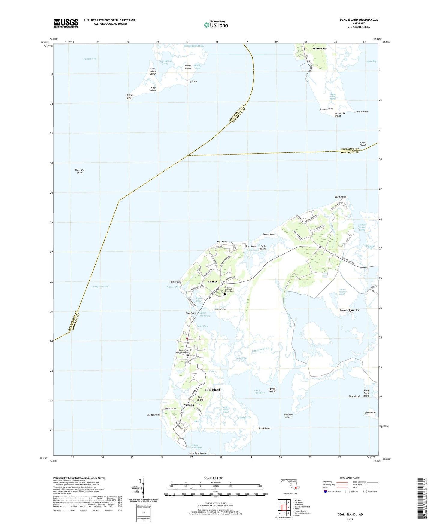
2019 topographic map quadrangle Deal Island in the state of Maryland. Scale: 1:24000. Based on the newly updated USGS 7.5' US Topo map series, this map is in the following counties: Somerset, Dorchester, Wicomico. The map contains contour data, water features, and other items you are used to seeing on USGS maps, but also has updated roads and other features. This is the next generation of topographic maps. Printed on high-quality waterproof paper with UV fade-resistant inks.
Quads adjacent to this one:
West: Bloodsworth Island
Northwest: Wingate
North: Nanticoke
Northeast: Wetipquin
East: Monie
Southeast: Marion
South: Terrapin Sand Point
Southwest: Kedges Straits
Contains the following named places: Back Landing Creek, Big Sound Creek, Black Duck Island, Black Foot Creek, Chance, Chance and Rock Creek Cemetery, Chance Census Designated Place, Chance Point, Clay Island, Clay Island Creek, Cow Creek, Crab Island, Dames Quarter, Dames Quarter Census Designated Place, Dames Quarter Creek, Dames Quarter Marsh, Dames Quarter Post Office, Deal Island, Deal Island - Chance Volunteer Fire Department Station 4, Deal Island Branch Library, Deal Island Census Designated Place, Deal Island Elementary School, Deal Island Marsh, Deal Island Post Office, Deal Point, District 11 Dames Quarter, District 14 Deal Island, District 9 Tangier, Duck Island, Ellis Bay, Fanneys Gut, Fish Island, Fishing Creek, Fitts Creek, Franks Island, Frog Point, Great Shoals, Great Shoals Light, Haines Point, Haines Pond, Hall Point, Jones Creek, Joshua Thomas Chapel, Laws Cove, Laws Gut, Laws Thorofare, Little Sound Creek, Long Gut, Long Point, Lower Thorofare, Macedonia United Methodist Church, Man Gut, Manbone Island, Messicks Ditch, Middle Creek, Mollies Point, Moores Gut, Muddy Cove, Nanticoke Point, Nanticoke River, Phillips Point, Rock Creek, Rock Creek Church, Rock Hole Gut, Rock Island, Saint Charles Church, Saint Johns Methodist Cemetery, Saint Johns United Methodist Church, Saint Pauls Church, Sandy Island, Scotts Cove, Shark Fin Shoal, Shark Point, Sharkfin Shoal Channel, Sharkfin Shoal Lighthouse, Somerset Church, Stacey Gut, Straight Gut, Stump Point, Stump Point Marsh, Twiggs Point, Upper Thorofare, Waterview, Waterview Census Designated Place, Wenona, Wenona Post Office, Wesley Church, West Point, Wicomico River, ZIP Codes: 21821, 21840