MyTopo
Saint George Island Maryland US Topo Map
Couldn't load pickup availability
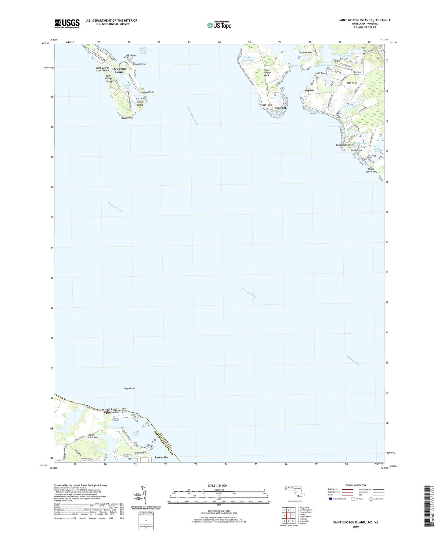
2019 topographic map quadrangle Saint George Island in the states of Maryland, Virginia. Scale: 1:24000. Based on the newly updated USGS 7.5' US Topo map series, this map is in the following counties: St. Mary's, Northumberland. The map contains contour data, water features, and other items you are used to seeing on USGS maps, but also has updated roads and other features. This is the next generation of topographic maps. Printed on high-quality waterproof paper with UV fade-resistant inks.
Quads adjacent to this one:
West: Kinsale
Northwest: Piney Point
North: Saint Marys City
Northeast: Point No Point
East: Point Lookout
Southeast: Burgess
South: Heathsville
Southwest: Lottsburg
Contains the following named places: Ball Point, Bards Field, Beans Landing, Bonham Airport, Calvert Bay, Calvert Creek, Calverts Rest, Camp Merryelande, Chicken Cock Creek, Clayton Marina, Cypress Farm, Deep Point, District 9 Saint George Island, Fox Harbor, Garners Creek, Gray Point, Harry James Creek, Hog Island, Indigo Point, Island Creek, James Creek Bar, Jimmy Island, Judith Sound, Kitts Point, Kitty Acres, Lawson Point, Miller Wharf, Potomac View, Rowley Bay, Russell Point, Sage Point, Saint George Island, Saint George Island Beach, Saint George Island Census Designated Place, Saint George Island United Methodist Church, Saint Marys River, Smith Creek, Smith Creek House, Smith Point, Tick Neck, Travis Point, Woodlawn, Wynne, Wynne Post Office, ZIP Code: 20680