MyTopo
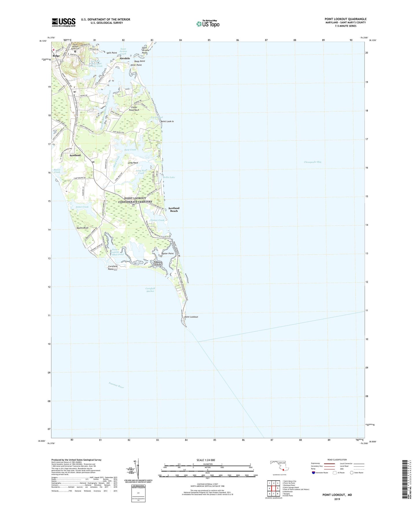
Point Lookout Maryland US Topo Map
Couldn't load pickup availability
2023 topographic map quadrangle Point Lookout in the state of Maryland. Scale: 1:24000. Based on the newly updated USGS 7.5' US Topo map series, this map is in the following counties: St. Mary's. The map contains contour data, water features, and other items you are used to seeing on USGS maps, but also has updated roads and other features. This is the next generation of topographic maps. Printed on high-quality waterproof paper with UV fade-resistant inks.
Quads adjacent to this one:
West: Saint George Island
Northwest: Saint Marys City
North: Point No Point
Northeast: Richland Point
Southeast: Smith Point
South: Burgess
Southwest: Heathsville
This map covers the same area as the classic USGS quad with code o38076a3.
Contains the following named places: Airedele, Biscoe, Biscoe Creek, Bradburn, Camp Brown, Confederate Monument, Cornfield Harbor, Cornfield Harbor Post Office, Cornfield Point, Deep Creek, Deep Point, District 1 Saint Inigoes, Drurys Marina, Fresh Pond, Fresh Pond Neck, Friendship Church, Hall Pond, Hammond General Hospital, Hays Beach, Hollis Lake, Kirk House, Lake Conoy, Long Neck, Long Neck Creek, Northern Prong Saint Jerome Creek, Otter Point, Oyster Point, Point Look-In, Point Lookout, Point Lookout Camp, Point Lookout Confederate Cemetery, Point Lookout Creek, Point Lookout Fort Monument, Point Lookout Lighthouse, Point Lookout Prison, Point Lookout State Park, Portneys Overlook, Portneys Oversight, Potter Creek, Ridge, Ridge Elementary School, Ridge Post Office, Ridge Volunteer Fire Department Company 4, Ridge Volunteer Rescue Squad, Rodo Beach, Saint Jerome Point, Saint Luke Church, Saint Marys Church, Saint Michael Church, Saint Michael Parish Cemetery, Saint Michaels Manor, Saint Michael's School, Scotland, Scotland Beach, Scotland Beach Post Office, Scotland Post Office, Smithwood, Southern Prong Saint Jerome Creek, Split Point, Tanner Creek, Treasure Island, Wailes Bluff, ZIP Code: 20687


